Curated OER
Educational Technology Clearinghouse: Maps Etc: Population Density of Asia, 1910
A map from 1910 showing the political boundaries and the distribution of population density of Asia at the time. This map uses gradated shading to shows areas of population densities ranging from under 2 inhabitants per square mile to...
Curated OER
Etc: Maps Etc: North American Population Density, 1910
A map from 1910 of North America, Central America, Greenland and the Caribbean showing population density distribution in the region at the time. The map is coded to show areas of population densities ranging from less than 1 inhabitant...
Curated OER
Etc: Maps Etc: Population Density of South America, 1910
A map showing the population density of South America around 1910. The map shows the regions where population density ranges from under two inhabitants per square mile to regions of population over 512 inhabitants per square mile. Cities...
Curated OER
Etc: Maps Etc: United States Population Density, 1900
A map from 1912 of the United States, subtitled "Distribution of Population and Railways in 1900" showing the increase in population and expansion of the railroad network since 1850. The map is color-coded to show population densities...
Curated OER
Etc: Maps Etc: United States Population Density, 1850
A map from 1912 of the United States, subtitled "Distribution of Population and Railways in 1850." The map is color-coded to show population densities ranging from areas with fewer than 2 inhabitants per square mile to areas of 90 or...
Curated OER
Etc: Maps Etc: Population Density in Africa, 1916
A map showing the population density of Africa in 1916 showing density ranges from under 2 inhabitants to areas along the Nile River valley and delta of more than 512 inhabitants per square mile.
Curated OER
Etc: Maps Etc: Population Density From the First Census, 1790
A map of the eastern United States in 1790 showing the western extent of the territories to the Mississippi, and the distribution of European-American population at the time. The map is keyed to show areas of population densities ranging...
Curated OER
Educational Technology Clearinghouse: Maps Etc: Population Density in Asia, 1916
A map from 1916 of Asia showing the population density of the region at the time.
Curated OER
Educational Technology Clearinghouse: Maps Etc: Population Density, 1910
A map of the United States showing the distribution of the population in 1910. The map is keyed to show areas of population with densities ranging from under 2 inhabitants per square mile to 90 and over inhabitants per square mile. The...
Curated OER
Etc: Maps Etc: European Population Density, 1916
A 1916 map showing the distribution of population in Europe as inhabitants per square mile.
NC State University
Nc State University: Population Dynamics
Students will understand the ecological concepts behind population dynamics of wildlife species.
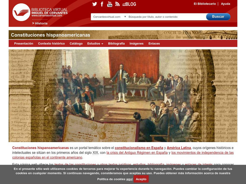
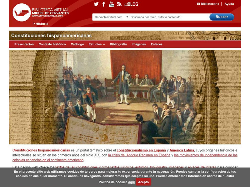
Biblioteca Virtual Miguel de Cervantes
Biblioteca Virtual Miguel De Cervantes: Peru
This resource site in Spanish from the Biblioteca Virtual Miguel de Cervantes for the country of Peru. The flag and a general map of the country are included. Of particular interest is the statistical data available on land size,...
Biblioteca Virtual Miguel de Cervantes
Biblioteca Virtual Miguel De Cervantes: Uruguay
This resource site from the Biblioteca Virtual Miguel de Cervantes in Spanish for the country of Uruguay. The flag and a general map of the country are included. Of particular interest is the statistical data available on land size,...
Biblioteca Virtual Miguel de Cervantes
Biblioteca Virtual Miguel De Cervantes: Ecuador
This resource site from Biblioteca Virtual Miguel de Cervantes in Spanish for the country of Ecuador. The flag and a general map of the country are included. Of particular interest is the statistical data available on land size, climate,...
Biblioteca Virtual Miguel de Cervantes
Biblioteca Virtual Miguel De Cervantes: Puerto Rico
Bibliotica Virtual Miguel de Cervantes is an excellent resource site in Spanish for Puerto Rico. The flag and a general map of Puerto Rico are included. Of particular interest is the statistical data available on land size, climate,...
Biblioteca Virtual Miguel de Cervantes
Biblioteca Virtual Miguel De Cervantes: Panama
Excellent resource site from the Bibliotica Virtual Miguel de Cervantes in Spanish for the country of Panama. The flag and a general map of the country are included. Of particular interest is the statistical data available on land size,...
Biblioteca Virtual Miguel de Cervantes
Biblioteca Virtual Miguel De Cervantes: Nicaragua
This resource site from Biblioteca Virtual Miguel de Cervantes in Spanish is for the country of Nicaragua. The flag and a general map of the country are included. Of particular interest is the statistical data available on land size,...
Biblioteca Virtual Miguel de Cervantes
Biblioteca Virtual Miguel De Cervantes: Venezuela
This resource site from Biblioteca Virtual Miguel de Cervantes in Spanish for the country of Venezuela. The flag and a general map of the country are included. Of particular interest is the statistical data available on land size,...
Biblioteca Virtual Miguel de Cervantes
Biblioteca Virtual Miguel De Cervantes: Guatemala
This resource site from Biblioteca Virtual Miguel de Cervantes in Spanish is for the country of Guatemala. The flag and a general map of the country are included. Of particular interest is the statistical data available on land size,...
Biblioteca Virtual Miguel de Cervantes
Biblioteca Virtual Miguel De Cervantes: Argentina
This resource site from Bibliotica Virtual Miguel de Cervantes in Spanish for the country of Argentina. The flag and a general map of the country are included. Of particular interest is the statistical data available on land size,...
Biblioteca Virtual Miguel de Cervantes
Biblioteca Virtual Miguel De Cervantes: Honduras
This resource site from Biblioteca Virtual Miguel de Cervantes in Spanish for the country of Honduras. The flag and a general map of the country are included. Of particular interest is the statistical data available on land size,...
Biblioteca Virtual Miguel de Cervantes
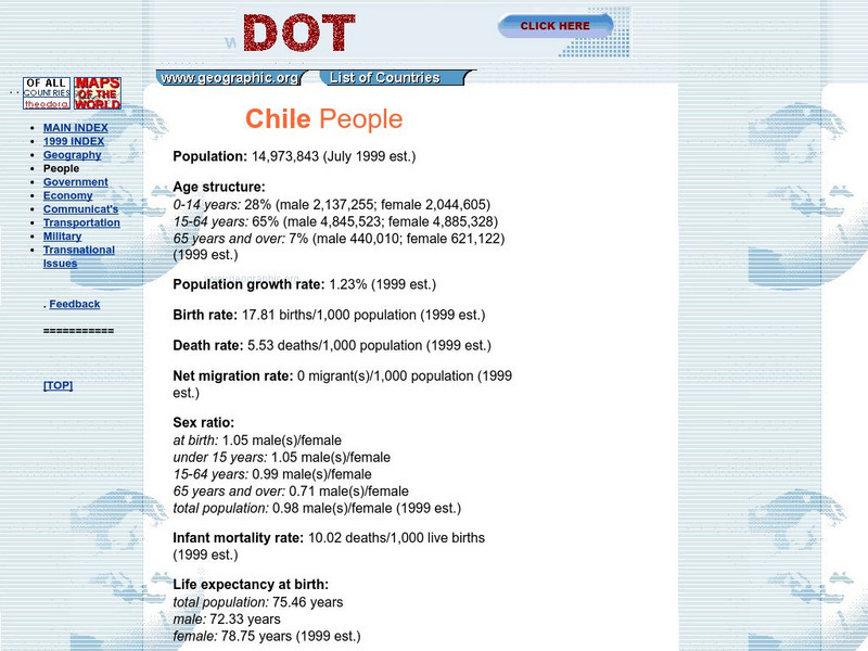
Biblioteca Virtual Miguel De Cervantes: Chile
This resource site from Bibliotica Virtual Miguel de Cervantes in Spanish for the country of Chile. The flag and a general map of the country are included. Of particular interest is the statistical data available on land size, climate,...
Biblioteca Virtual Miguel de Cervantes
Biblioteca Miguel De Cervantes: Republica Dominicana
This Bibliotica Virtual Miguel de Cervantes site in Spanish for the Dominican Republic provides a wealth of information, including the national flag, a map, holidays, and statistical data on land size, climate, population, life...
Other popular searches
- Population Density Maps
- Human Population Density
- Geography Population Density
- Comparing Population Density
- Biology Population Density
- Us Population Density
- Population Density in Mali
- Population Density of Cinda
- Population Density of Cina
- Animal Population Density
- Population Density Problems
- Population Density in Canada


