Curated OER
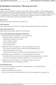
A Canadian Inventory: The Way We Are!
Young scholars use the Canadian Atlas to discover an inventory of Canada's wealth and usage of resources. Using charts and graphs, they produce a wall of selected data of importance to the country and identify one issue of...
Curated OER
The Arctic and Taiga Ecozone of Canada
Students examine the various sub-regions of the Arctic and Taiga zones in Canada. Using the online Canadian Atlas, they locate and describe the characteristics of each zone. They organize their information into a chart and share it with...
Curated OER
The Appaloosa - Horse of the Nez Perce
Fourth graders investigate the use of Appaloosa horses by the Nez Perce Native Americans during the War of 1877. They examine the geography of the area and determine why the Appaloosa horse was suited to this use after looking at...
Curated OER
Tooling Around Arizona: Reading Arizona Maps
Students study geography. In this Arizona maps activity, students develop their map reading skills. They have class discussions and work independently with various copies of Arizona maps to practice those skills. This activity mentions...
Alabama Learning Exchange
Our World is Like a Rainbow
Students create a Venn diagram of people's similarities and differences. They investigate why people relocate to different geographic regions after investigating the positives and negatives of different states.
Curated OER
Investigating comparative biodiversity of wetland and schoolyard sites
Fourth graders participate in an activity dealing with the environment.
Curated OER
Threads
Students group observed data, filtering from all their observations the similarities between burring threads. In the second part they make a comparison of a chosen attribute between the two threads.
Curated OER
Where Should We Land?
Students discuss the difference between major landforms as a class. In groups, they rate the landforms based on the needs of the community that wish to settle there. They also discuss the push and pull factors of the colonists that made...
Curated OER
Community Map of The Giver
Students read "The Giver" after finishing the unit on inventions and inventors. Using the information in the novel, they develop a geographic map illustrating the community in the story. They identify human and physical features and...
Curated OER
Wild Work
Students visit the U.S. Fish and Wildlife Service and explore the different careers offered by them. They ask questions and view the grounds.
Curated OER
Water and Ice
Students observe what happens to water as it goes from a solid to a liquid. For this exploratory lesson students gain an understanding for the water cycle while working in groups observing what happens to water as it changes...
Curated OER
Hurricanes
Students state and directly experience two laws of Physics (Law of Gravity, Law of Centrifugal Force) that affect weather. They explain the observations made when using the "hurricane machine" and relate them to other events and phenomenon.
Curated OER
Carbon Adventures Game
Sixth graders examine the processes and transformations that occur in carbon pools. They play a game to identify paths taken by carbon through the environment.
Curated OER
Self Portrait, What Nerve!
Students conduct an experiment to determine the distance between touch receptor fields in parts of the right-hand side of the body. They enter data into the data table.
Curated OER
The Portable Niche
Third graders, in groups, research animals, plants, and conditions found in ecosystems.
Curated OER
Island Hopping
Students utilize a variety of math skills to explore the Turks and Caicos Islands, the British Territory to which South Caicos belongs. They select and apply quantitative data to support their recommendations for future investment and...
Curated OER
Water Quality Monitoring
Students comprehend the four parameters of water quality. They perform tests for salinity, dissolved oxygen, pH and clarity or turbidity. Students comprehend why scientists and environmental managers monitor water uality and aquatic...
Science Buddies
Science Buddies: It's Crowded in Here! A Study of Plant Population Density
Like humans, plants can be negatively affected by overcrowding. Unlike humans, plants cannot get up and move to a new environment or explore how to utilize new resources. This experiment will explore the effects of crowding (population...
National Geographic
National Geographic: Population Density in the United States
Several factors contribute to the population trends across the United States. This lesson will explore maps to discover and understand these trends.
Curated OER
U. Of Texas: Sri Lanka: Ethnic Communities; Population Density; Land Use
Three great maps of Sri Lanka on one page. You can see the ethnic groups and religions on one map, the population density of the country on another, and the land use and economic activity on the third. From the Perry-Castaneda Collection
TeachEngineering
Teach Engineering: Population Density: How Much Space Do You Have?
Students learn about population density within environments and ecosystems. They determine the density of a population and think about why population density and distribution information is useful to engineers for city planning and...
Mangahigh
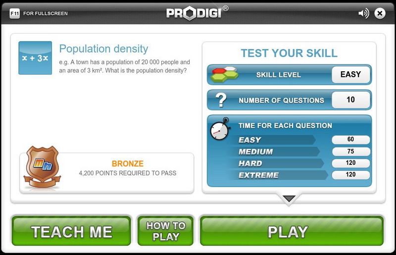
Mangahigh: Shape: Population Density
Test your knowledge of population density by determining the number of people per square unit.
Geographypods
Geographypods: Theme 1: Population and Settlement
A rich collection of highly engaging learning modules on topics related to population and settlement. Covers six main areas - population growth, population change, population migration, land use, settlement characteristics and patterns,...
US Census Bureau
Population Pyramids
Visual representations of population distribution by age and sex for any country.
Other popular searches
- Population Density Maps
- Human Population Density
- Geography Population Density
- Comparing Population Density
- Biology Population Density
- Us Population Density
- Population Density in Mali
- Population Density of Cinda
- Population Density of Cina
- Animal Population Density
- Population Density Problems
- Population Density in Canada


