Curated OER
Point of View to Ponder
Students view (or read) The Ponder Heart by Eudora Welty. They
discuss other literary pieces that include the misleading first person narrator. They
role play fictional characters from literature and present a short anecdote in a...
Curated OER
Character and Class
Students connect photographic images with the literary texts of Eudora Welty and William Faulkner. They identify and distinguish narrators and protagonists of literary works. Students recognize patterns of social class as a literary...
Curated OER
Humor and Irony in Eudora Welty's The Ponder Heart
Students demonstrate an understanding of humor in writing, specifically the use of irony (verbal, situational, and dramatic). They evaluate an event from his or her life that lends itself to a humorous retelling, and demonstrate an...
Curated OER
Algebra 1 Unit 8 Review
In this math worksheet, high schoolers practice the techniques associated with algebra 1. This 5-page worksheet has many different types of problems for the students to solve.
Curated OER
Characterization in The Ponder Heart:A Collaborative Speaking Unit
Students assess fellow student's oral narrative tales. They discuss the attributes that marked the "best" narratives. They compose their own narrative tales and interview family members. They make a final speaking presentation to the...
Curated OER
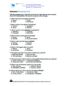
Worksheet 1: Geography Quiz
Students take a geography quiz and circle the multiple choice answer that answers each question correctly. The quiz is quite-challenging, and an atlas may be required to help the students. An answer sheet is provided.
Curated OER
'Magic' Pablo Lesson
Students examine what goes into hero worship and establishing unlikely friendships. They probe the deeper meanings in "'Magic' Pablo" through small group dialog and use a variety of ways to process the story's meaning. They see the...
Curated OER
Cinco de Mayo - What is it?
Young scholars, after examining why the fiesta Cinco de Mayo is celebrated, plan a fiesta that includes invitations, games, music, paper flowers, flags and a menu of authentic foods. By completing this assignment, they enhance their...
Curated OER
Pandemics
Students develop an awareness of the effect of pandemics and acquire knowledge to prevent a pandemic from spreading. In this pandemics lesson plan, students build research skills using a variety of sources. Students investigate...
Curated OER
Mixing Up the Melting Pot
Students examine the cultures of indigenous peoples and how they have or have not assimilated into modern society. They create reports with recommendations on how the Nukak of Columbia could be assimilated into society.
Curated OER
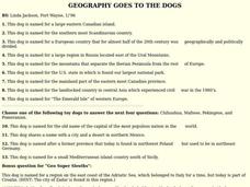
GEOGRAPHY GOES TO THE DOGS
Students use countries and dogs from around the world to answer the questions.
Curated OER
What's Your Reference
In this reference material worksheet, pupils choose the correct reference for each question given. Students discover the differences in the materials found in the dictionary, the almanac, the atlas, the newspaper, and the thesaurus.
PBS
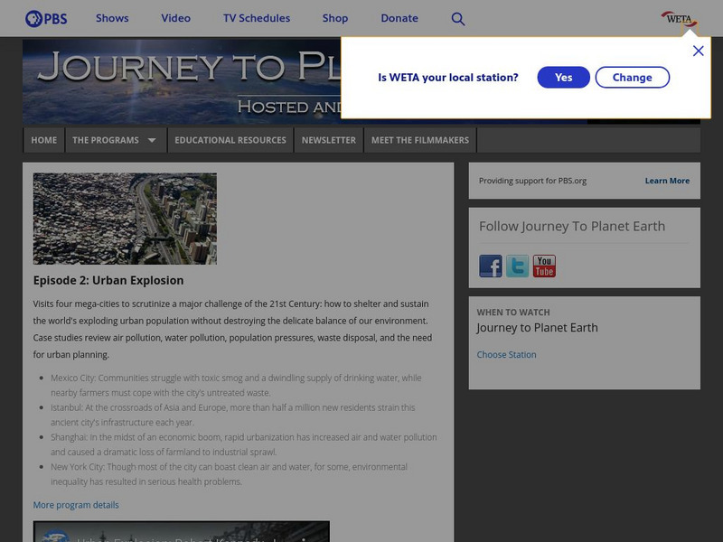
Pbs: Journey to Planet Earth: Urban Explosion
From the "Journey to Planet Earth" series, PBS takes a look at the world's exploding urban population. Includes video clips and educational resources.
Curated OER
Unesco: Mexico: Historic Centre of Mexico City and Xochimilco
Built in the 16th century by the Spanish on the ruins of Tenochtitlan, the old Aztec capital, Mexico City is now one of the world's largest and most densely populated cities. It has five Aztec temples, the ruins of which have been...
Houghton Mifflin Harcourt
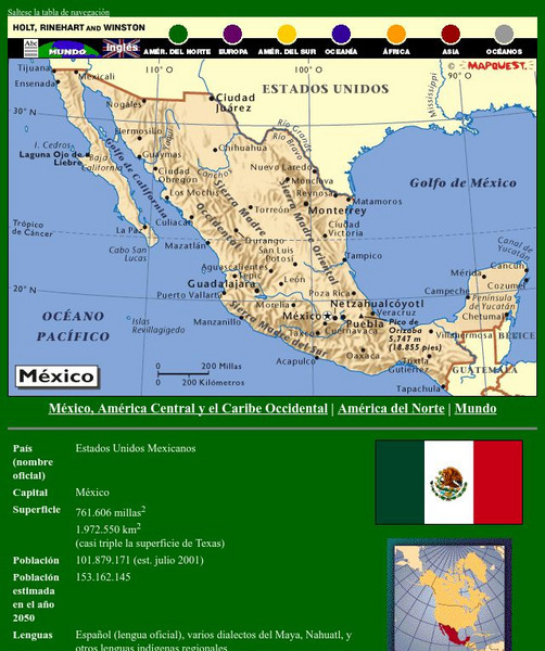
Holt, Rinehart and Winston: America Del Norte: Mexico
This site has a map of Mexico in Spanish, with informational data also presented in Spanish about the country. Land mass, population, life expectancy, literacy, industry, agriculture, minerals and resources are among the topics...
Ducksters
Ducksters: United States Geography for Kids: New Mexico
Kids learn facts and geography about the state of New Mexico including symbols, flag, capital, bodies of water, industry, borders, population, fun facts, GDP, famous people, and major cities.
Curated OER
Etc: Maps Etc: Mexico, Central America and the West Indies, 1852
A map from 1852 of Mexico, Central America, and the West Indies. The map shows territorial boundaries at the time, including the Mexican States, capitals and major cities and ports, railroads, rivers, lakes, mountain systems, and terrain...
Curated OER
Educational Technology Clearinghouse: Maps Etc: Mexico, 1904
A map from 1904 of Mexico showing the states, major cities and towns, railroads, mountains, and coastal features. An inset map shows the island of Cuba. "Mexico is divided into twenty-seven States with two Territories and the federal...
A&E Television
History.com: The States
Learn unique facts about each American state. You can also read a more in-depth history of each state, watch videos and play a game about all the states.


