Curated OER
The Sky and the Dichotomous Key
Young scholars use a dichotomous key to distinguish between different types of clouds
Curated OER
Alice World:Tornado
Seventh graders use the Alice program and complete a world that is damaged after a tornado. In this atmospheric conditions instructional activity students complete an activity using the Alice program.
Curated OER
Scatter Plots
Seventh graders investigate how to make and set up a scatter plot. In this statistics instructional activity, 7th graders collect data and plot it. They analyze their data and discuss their results.
Curated OER
Introduction to Drawing Isopleths
Students draw isopleths based on how many pieces of "confetti snow" land in their cup.
Alabama Learning Exchange
Researching Hurricanes with Technology
Young scholars explain the components that make up a hurricane.
Curated OER
Exploring Rocks
Students recognize differences in the size, shape, texture, and color of different rocks. In this rocks lesson plan, students also learn and repeat back how a volcano erupts and make one out of a toilet paper tube.
CK-12 Foundation
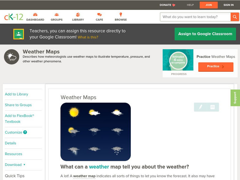
Ck 12: Earth Science: Weather Maps
[Free Registration/Login may be required to access all resource tools.] How meteorologists create and read weather maps.
Discovery Education
Discovery Education: Weather Maps
This site provides a lesson plan in which groups of students will each investigate a different type of weather map use for weather forecasting. Also includes discussion questions, extension ideas, and links to additional sites for more...
University of Wisconsin
Atmospheric and Oceanic Sciences: Surface Weather Analysis
Explains the use of synoptic weather analysis in preparing weather maps and forecasting. Discusses the use of symbols as well.
University of Illinois
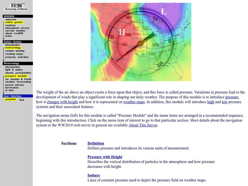
University of Illinois Extension: Ww2010: Atmospheric Pressure
This site from the University of Illinois describes what air pressure is and how it is measured. Explains high and low pressure areas, isobars, and how pressure changes with height.
TeachEngineering
Teach Engineering: Weather and Atmosphere
In this unit, students learn the basics about weather and the atmosphere. They investigate materials engineering as it applies to weather and the choices available to us for clothing to counteract the effects of weather. Students have...
Other
American Meteorological Society: Data Streme Atmosphere
This site provides an extensive amount of weather information. Includes current information, forecasting, and historic weather related events. Weather map symbols and terminology explained.
Science Buddies
Science Buddies: Using Weather Balloon Data to Map Atmospheric Temperature
Snow-capped mountains make a picturesque scene, especially in summertime when the peaks are in such contrast to the warmth below. This project shows you a way to see how temperature changes with altitude using data collected twice daily...
Other
Digital Library for Earth System Education: Teaching Box: Essentials of Weather
A suite of lessons focusing on the basic elements of climate and weather. Inquiry-based exploration of extreme weather events and the factors of weather including clouds, wind, air pressure, temperature, and the water cycle.
Center for Innovation in Engineering and Science Education, Stevens Institute of Technology
Ciese Real Time Data Projects: Weather Scope: A Study of Weather and Climate
Use real-time data to study factors that affect weather and climate, create weather instruments, and share data with learners around the world.
E-learning for Kids
E Learning for Kids: Antarctica: Penguins: What Are the Different Aspects of the Weather?
For this lesson, students learn about the different types of weather and the factors that impact them, including air pressure, humidity, sun and wind.
TeachEngineering
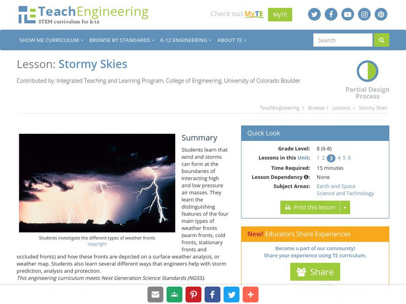
Teach Engineering: Stormy Skies
Students learn that wind and storms can form at the boundaries of interacting high and low pressure air masses. They learn the distinguishing features of the four main types of weather fronts (warm fronts, cold fronts, stationary fronts...
Other
Nexlab: Weather Exercises and Modules
Includes a number of forecasting exercises including front and synoptic map activities dealing with front location, pressure, location, and types of precipitation. The site is currently under construction.
Wikimedia
Wikipedia: Weather Front
This Wikipedia site tells all about weather fronts, or boundaries between two air masses with differing characteristics. Includes many hyperlinked terms to additional information on related subjects.
Dan Satterfield
Dan's Wild Weather Page: Forecasting
Find out about the art and science of forecasting at this site from Dan's Wild Weather Page.
TeachEngineering
Teach Engineering: Air Pollution
Students are introduced to the concept of air quality by investigating the composition, properties, atmospheric layers and everyday importance of air. They explore the sources and effects of visible and invisible air pollution. By...


