Curated OER
Measurement 4: Linear Measure
In this measurement worksheet, young scholars use a ruler to measure, in inches, the distance of various line segments. Then, using the scale drawing, they determine the actual distance in miles. Students may use their knowledge of...
Curated OER
Solve for Scale Factors Using Proportions
Eighth graders solve problems using proportions with scaled drawings. They work with maps and blue-prints discussing scales and plans and examine different polygons and figure out the scale factors or proportions they have been changed by.
Curated OER
Introduction To Topographic Map Activities
Young scholars discuss different types of maps, their similarities and differences. Using a Topographical Maps CD-rom program students create their own map.
Curated OER
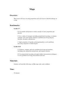
Maps
Young scholars figure out the mileage from one state to another using a map. In this map lesson, students look at the scale factor and turn it into a fraction. They measure the distance between two cities and use the proportion to find...
Curated OER
Investigation - The Local Bagel Shop
Sixth graders investigate unit pricing to find which cup of coffee is a better buy. They use ratio and proportions to solve problems involving a change of scale in drawings, maps, recipes, etc. Students determine the unit cost of items...
Curated OER
One Size Fits All?
Students describe the differences between an estimate and a guess. They create reasonable estimates based on comparison and activities. Students explain how estimation is helpful in showing the relative size on a scale. They also...
Curated OER
Scale Drawings
Students discuss the importance of scaling drawings. For this math lesson, students create a scaled drawing of circuit boards. They explain why accuracy is very important when scaling.
Curated OER
Reading distance on maps
Eighth graders complete worksheets on reading the distance on maps in miles or kilometers. In this maps lesson plan, 8th graders use a calculator and ruler.
Curated OER
Blazing the Trail
Learning about proportions through measuring and mapping distances is the focus of this real-world math instructional activity that doubles as an activity. Mathematicians complete a course designed to measure and map locations in order...
Curated OER
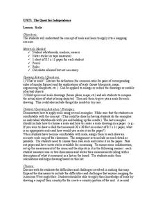
Scale
Students apply concepts of scales to solve problems. In this geometry activity, students solve real world problems using scales, proportions and ratios. They predict the actual size of a model given the scale drawings.
Curated OER
Measurement 2
In this measurement worksheet, students use liner measure with a provided ruler to determine the distance between objects. Using a map scale, they evaluate the actual distance. Students may use their knowledge of proportions to solve...
Curated OER
Playground Mapping
Students review their physical models of the objects on their playground at school. Using the model, they convert it into a map with a scale and key. To end the instructional activity, they use the map to locate different objects and...
Curated OER
Discovering New Mexico
Seventh graders discuss the elements of maps and using basic linear measurement. They calculate the distance between the cities and create a simulated journey around New Mexico using a road map. They write out the directions for their...
Curated OER
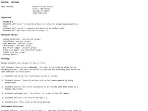
Mission: Possible
Students explore the concept of scale. In this scale lesson, students are given directions scaled in inches and students must convert them to feet. Students take a section of a map and create a bigger scaled model of the section.
Curated OER
Ratio Relationships
Students solve for the different ratio and proportion of a problem. In this geometry lesson plan, students show their knowledge of how to solve proportional relationships. They convert between percent, decimals and fractions.
Curated OER
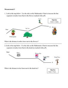
Measurement 3: Rulers
In this measurement worksheet, students measure the linear distance, in inches, between stated objects. Next, they determine the actual distance, in miles.
Curated OER
Measurement
In this measurement worksheet, students measure distance with a provided ruler. Using the provided map scale, students determine the actual distance between objects. They may set up proportions to evaluate each situation.
Curated OER
Tour De Texas
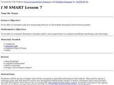
Students are given a budget and an alternative-fuel vehicle. Using a map of Texas, they are given a starting point and determine how to arrive at their destination within 72 hours. They use the internet to research the alternative fuel...
Curated OER
Environment: Water & Air
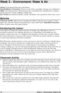
The introduction to the lesson mentions a sailor's limited capacity to store drinking water on his ship. Pupils then set up an overnight experiment to remove freshwater from salt water by distillation. There is a math and map activity to...
Curated OER
Cartography
Young scholars research about cartography and how to be a cartographer. In this math lesson, students draw a map of their classroom. They use a robot to explore navigation using a compass rose.
Curated OER
Building a Topographic Model
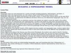
Young scholars explore Mount Shasta and various locations on Mars to examine ways geographical data can be represented. They study topographic maps and translating data from 2-Dimensions to 3-Dimensions.
Curated OER
"it's All in the Cellar"
Seventh graders examine the process of constructing a site plan map at archaeological sites. They discuss the process of mapping techniques and calculation of percentages, create a plan site map of a cellar at Jamestown, and calculate...
Curated OER
What Do We Do With A Dirty Bomb?
Learners examine composition of dirty bomb and its possible effects on a city, and investigate simulations of such an event; students use computational and problem solving skills to assess damage and prepare report proposing solution to...
Curated OER
Mapping the changes in Canada's population
Learners find and analyze data found in the census. They compare the population from 1996 to 2001. They explore the type of data they can find in the Census of Population.


