PBS
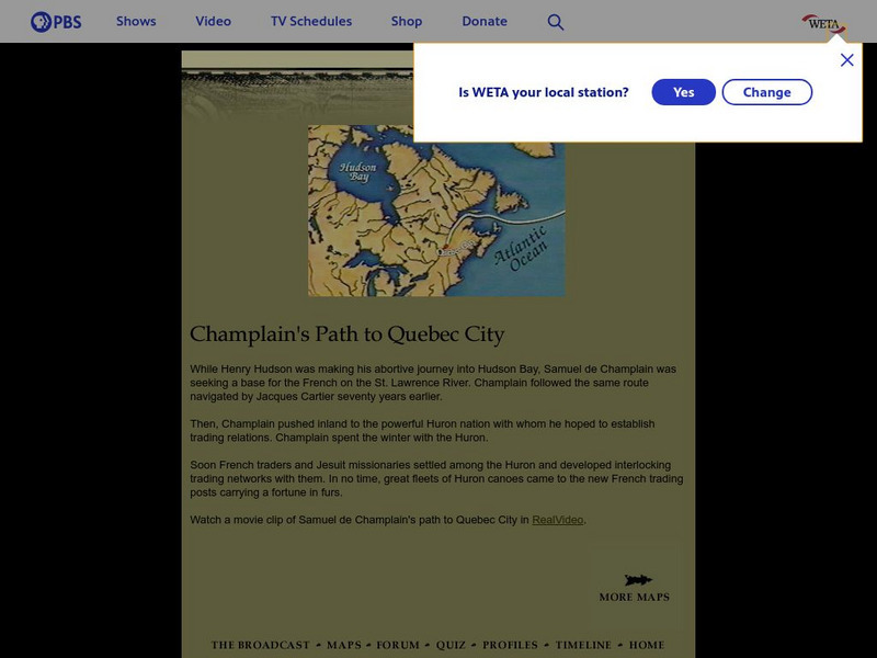
Empire of the Bay: Champlain's Path to Quebec
Watch a movie clip of Champlain's path to Quebec as you learn about this important early explorer.
McGill University
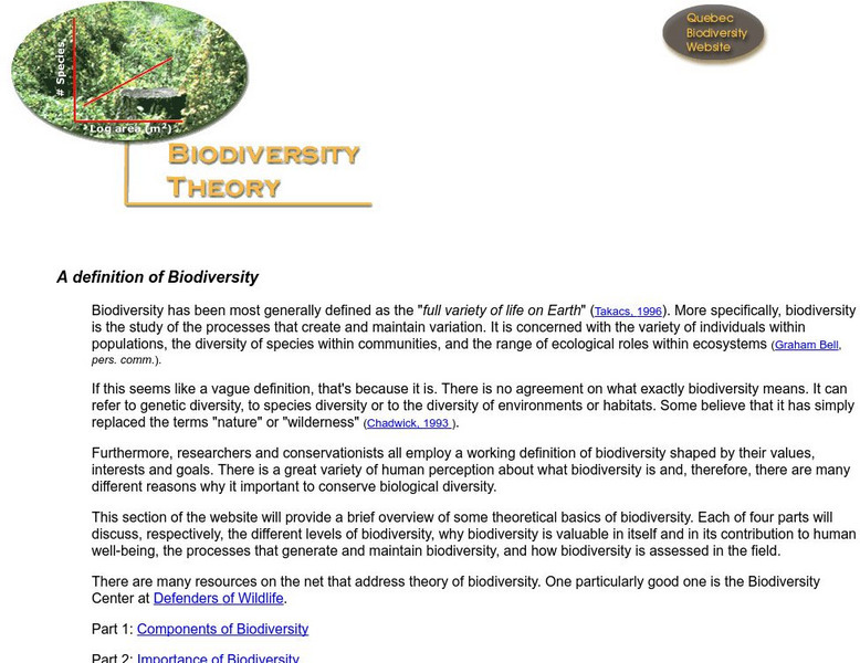
Redpath Museum: Quebec Biodiversity Website: Biodiversity Theory
The theory of biodiversity is explained in detail.
Other
Tele Universite, Universite Du Quebec a Montreal: Vr Molecules Pro
Visually inspect virtual molecules and their reactions to changes in energy levels and vibrations. Choose from 24 different molecules and adjust viewing angle, pace of simulation, and more. Create a presentation of your explorations as...
Other
Thais Lacoste Fremont : A Woman of Heart, a Woman of Action
Thais Lacoste-Fremont was an influential Quebec feminist in the first years of women's suffrage. Her papers and documents were preserved in the Seminaire de Quebec archives and are on display here.
Other
Le Soleil
Extremely complete, fully searchable daily newspaper site from Quebec city. Many special sub-sections such as cars, fashion, outdoors, etc. Written in French.
Internet History Sourcebooks Project
Fordham University: Modern History Sourcebook: Samuel De Champlain
A first person account of the founding of Quebec City by Samuel de Champlain. Provides his own feelings about New France and what he plans to use New France for.
Brown University
John Carter Brown Library: Champlain's America: New France and New England
An exhibition marking the 400th anniversary of the founding of Quebec by Samuel de Champlain. It discusses Champlain's determination and drive to explore North America, and to plant French roots in the Canadian landscape. Images of...
Other
Native Languages of the Americas: Abenaki Indian Facts
Photography and information about the language and culture of the Abenaki Indians, native to New Hampshire, Vermont, and southern Quebec.
Other
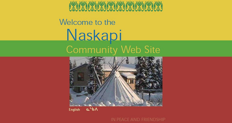
Welcome to the Naskapi Community Web Site
An informative site that explores the Naskapi Nation of Quebec.
Other
Ville De Laval: Laval
This site explores many aspects of the city of Laval, Quebec including culture, the environment and community life.
Library of Congress
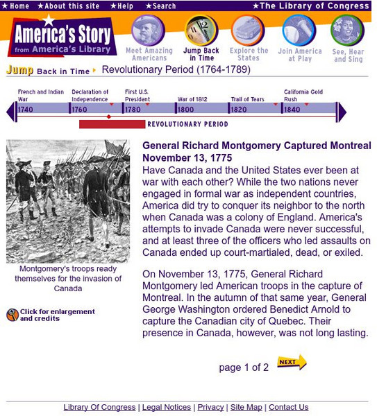
Loc: Gen. Montgomery Captured Montreal
Briefly profiles General Richard Montgomery and Benedict Arnold's assaults on Quebec during the Revolutionary War. Historic engravings are featured on these two pages from the Library of Congress.
Curated OER
Educational Technology Clearinghouse: Maps Etc: Province of Quebec, 1914
A map from 1914 of the province of Quebec, showing the more populous region around the St. Lawrence River from Montreal to Quebec and north to the mouth of the river into the Gulf of St. Lawrence. The map shows county boundaries, major...
Curated OER
Educational Technology Clearinghouse: Maps Etc: Quebec, 1904
A map from 1904 of the populous portion of Quebec Province, showing major cities and towns, railways, rivers, lakes, and the frontier with Ontario. An inset map shows the eastern portion of the province along the Gulf of St. Lawrence,...
Curated OER
Educational Technology Clearinghouse: Maps Etc: Province of Quebec, 1922
A map from 1922 of the province of Quebec, showing the more populous region around the St. Lawrence River from Montreal to Quebec and north to the mouth of the river into the Gulf of St. Lawrence. The map shows major cities and towns,...
Curated OER
Educational Technology Clearinghouse: Maps Etc: Province of Quebec, 1909
A map from 1909 of the province of Quebec, showing the more populous region around the St. Lawrence River from Montreal to Quebec and north to the mouth of the river into the Gulf of St. Lawrence. The map shows major cities and towns,...
Curated OER
Educational Technology Clearinghouse: Maps Etc: Province of Quebec, 1912
A map from 1912 of the province of Quebec, showing the more populous region around the St. Lawrence River from Montreal to Quebec and north to the mouth of the river into the Gulf of St. Lawrence. The map shows county boundaries, major...
Curated OER
Educational Technology Clearinghouse: Maps Etc: Neighborhood of Quebec, 1759
A map of the area around Quebec showing important sites in the siege and capture of the city by the British General James Wolfe in 1759 during the French and Indian War (1754-1763). The map shows the location of Quebec, Wolfe's camp on...
Curated OER
Etc: Maps Etc: Quebec Province (South Central Part), 1920
A map from 1920 of the south-central part of the province of Quebec, showing county boundaries and county seats, the Dominion capital of Ottawa, Province capital of Quebec City, major cities, towns, and ports, existing and proposed...
Curated OER
Educational Technology Clearinghouse: Maps Etc: Quebec, 1906
A map from 1906 of the province of Quebec. The main map details the more populous region around the St. Lawrence River from Montreal to Quebec and north to the confluence of the Saguenay River and Tadousac. The map shows major cities and...
Curated OER
Educational Technology Clearinghouse: Maps Etc: Quebec, 1613
A facsimile from a map by Samuel Champlain (1613) of the vicinity of Quebec on the St. Lawrence River, where on 3 July, 1608, Champlain laid the foundations of the city which still bears the name of Quebec. The map is keyed to show (A)...
Other popular searches
- Alberta and Quebec
- Quebec Winter Carnival
- Comparing Alberta and Quebec
- Quebec Act 1774
- Quebec Act
- Quebec Culture
- Quebec Canada Conflict
- Deforestation in Quebec
- Quebec Society
- Quebec Sovereignty
- Quebec Carnival Lesson Plans
- Quebec Separatism


