Curated OER
Mesopotamia
Here is resource that offers a great, organized approach to your unit on Mesopotamia and early civilizations! As learners study the topics in the unit, such as the Fertile Crescent, ancient Sumeria, the Assyrian and Persian Empires, and...
Alpha Omega
History and Geography—Two World Wars
Here's a combination textbook/workbook that examines the conditions in Europe that lead to World War I. Ideal for homeschoolers as well as classroom use.
Orlando Shakes
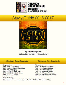
The Great Gatsby: Study Guide
Uncover the exciting world of the Roaring Twenties with The Great Gatsby study guide. Individuals become critics as they write a review of the production. Scholars also read historical information and analyze the differences between the...
American Museum of Natural History
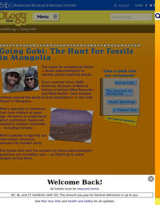
Going Gobi: The Hunt for Fossils in Mongolia
Take a trip on a fossil hunt. Pupils read about a trip to the Gobi Desert by a group of paleontologists to find fossils. Learners view pictures taken on the trip and determine what the scientists go through in the search for answers to...
Curated OER
Lesson Two: Writing Letters in Code
Combine your friendly letter lesson, grammar lesson, and technology lesson with this fun activity! Young writers compose letters to friends, and then convert the text to Webdings font. Their friends then decode the letter based on a key....
Curated OER
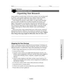
Organizing your Research
In this research worksheet, students read about how to organize themselves when doing research. They read about a student who had a topic to research but had difficulty coming up with books about his topic. Students suggest ways to...
Curated OER
Precipitation Map
In this precipitation map worksheet, students study the key and the map for the various precipitations that occur across the United States. Students then answer questions about the precipitation.
Federal Reserve Bank
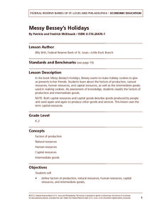
Messy Bessey's Holidays
Teach your class some fairly complex terms—factors of production, human resources, capital resources, natural resources, and intermediate goods—with a storybook (Messy Bessey's Holidays), plenty of visuals and handouts, and related...
Curated OER
LA CENERENTOLA (Cinderella)
Students work in groups to create a map key. The map key represents the diversity of each of the Cinderella stories previously read. They explore the cultural dimensions and contributions of the arts.
Curated OER
Discovering New Mexico
Seventh graders discuss the elements of maps and using basic linear measurement. They calculate the distance between the cities and create a simulated journey around New Mexico using a road map. They write out the directions for their...
Curated OER
Are We There Yet?
Young scholars discover how to use maps and why they are important when using a map. They calculate distance using a map scale and time using travel speed and a map scale.
Curated OER
Land Elevation
Learners investigate land elevation. In this map skills lesson, students use a physical map to identify various elevations of the land. Learners find landform features such hills and coastlines.
Curated OER
Country Capitals
Students locate country capitals on a world map. In this map skills lesson, students review the definition of the word country and discuss what a capital is. Students locate and label capital cities on a world map using a map marker.
Curated OER
Jordan's Neighborhood: Using a Compass Rose
A neighborhood map is a great way to practice compass rose and key skills! Use these 2 worksheets to introduce these concepts through reading and comprehension activities. First, students look at 3 compasses, circling their favorite and...
National Wildlife Federation
Massive Migrations: Grades K-8
Migratory animals follow the same path every year. Learners research the path of an assigned species and create a map highlighting key landmarks along the way. As a group, they come up with a presentation to share with their class.
PBS
Accessible Shapes
All the 2-D and 3-D measurement work you need is in one location. Divided into three sections, the geometry lesson plans consist of visualization of three dimensions, classifying geometric figures, and finding surface area and volume....
EngageNY
Organizing an Opinion, Reasons, and Evidence: Text 1 for Each Expert Group
Working in small groups, scholars continue reading an informational text about either Roberto Clemente or Althea Gibson. As they read, pupils create graphic organizers in their journals to help map their ideas logically.
Student Handouts
Christopher Columbus Workbook
Youngsters gain ample reading comprehension practice while studying the history of Christopher Columbus with this great workbook! It includes word puzzles and comprehension checks of multiple assessment styles, including multiple choice,...
Curated OER
1668 Map of Newark Activity
Eleventh graders read a map for historical information, decipher a map legend and symbols, and expand their knowledge of a historic time.
Curated OER
From Home To School
Students locate and use internet maps to trace a route from their home to school. They calculate the distance of the route using the map legend then determine the distance they travel to school and back in a regular school week and over...
Curated OER
Making Predictions by Analyzing Key Ideas and Details
Students make predictions. In this language arts lesson, students read nonfiction texts and make predictions about what they are going to read. Students confirm and revise their predictions as they read the text.
Curated OER
Watershed Investigations
Students explore the components of a watershed and the factors that affect it. They read a topographical map and use geometry to determine the area of a watershed. Students estimate the volume of a body of water and perform runoff...
Curated OER
Put Me in My Place: Using Alphanumeric Grids to Locate Places
Students practice locating points on a large wall grid and create and label a neighborhood map. In this geography lesson, students spell and discuss places as the teacher places them on the map. They discuss the concept of an...
Curated OER
Where Am I?
High schoolers apply map reading skills by locating places through the use of latitude and longitude.


