Curated OER
Circle the Earth - Explore Surface Types on a Journey around Earth
Students use CERES percent coverage surface data with a world map in locating landmasses and bodies of water at Earth's Equator.
Curated OER
Science: Trouble in the Troposphere
Students research a NASA Website and record information about an assigned city's tropospheric ozone residual monthly climate. In groups, they graph the information for the past year. They form new groups and compare their city's...
Curated OER
Rain and Our Environment
First graders understand the importance of rain in our environment by writing a sentence about something in existence that would cease to be without rain. They use describing words to describe the living thing's color and draw and color...
Curated OER
News Broadcasts
Pupils create a news broadcast after studying example broadcasts about disaster relief organizations. In this broadcast news lesson, students research disaster relief organizations and then write a news broadcast related to a disaster....
CK-12 Foundation
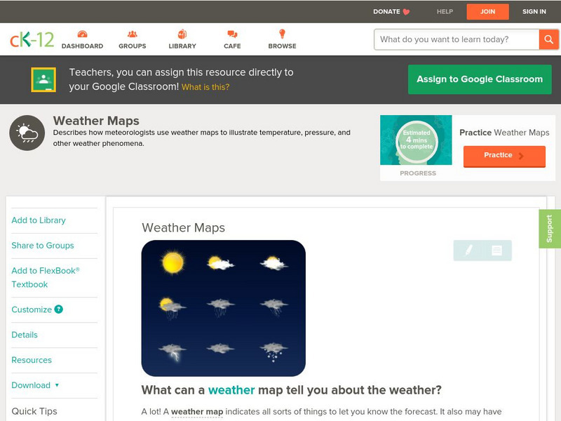
Ck 12: Earth Science: Weather Maps
[Free Registration/Login may be required to access all resource tools.] How meteorologists create and read weather maps.
CK-12 Foundation
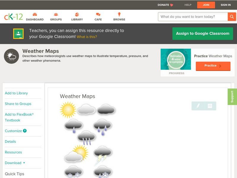
Ck 12: Earth Science: Weather Maps
[Free Registration/Login may be required to access all resource tools.] How meteorologists create and read weather maps.
CK-12 Foundation
Ck 12: Third Grade Science: Earth Science: Weather Forecasting
[Free Registration/Login may be required to access all resource tools.] Read about how meteorologists predict the weather and how technology and computers are used to forecast the weather. Also discusses what weather maps show us.
Annenberg Foundation
Annenberg Learner: Journey North: Weather and Songbird Migration
Ornithologist Dr. David Aborn shares the secrets of weather and migration. Learn to read weather maps and predict when you will see songbirds traveling through your locale.
PBS
Pbs Learning Media: Daily and Seasonal Weather: Interactive Lesson
Students investigate the relationship between daily weather and seasonal weather. Students will read about how weather data is collected, then interpret examples of weekly and monthly weather data to find seasonal patterns. Visual...
Other
Classzone: Weather Forecasters Use Advanced Technologies [Pdf]
An excerpt from an earth science textbook. The chapter shown here covers concepts about how weather data is collected, displayed and how meteorologists forecast fronts and storms.
Other
West Virginia Storm: Activity Giving a Weather Report
Forecasting the weather and delivering the forecast to the many people who turn on the nightly news is not an easy task. Now that you know some of the jobs in meteorology and know how to read a weather map, you and your team are ready to...
Other
Mcwdn: Maps & Globes: Landforms Mountains
Informative site about mountains. Look at the picture and read all about mountains, then take a quiz to show how much you know!
Math Science Nucleus
I. Science Ma Te: Integrating Science, Math and Technology
This site offers a wealth of online textbook-related materials that encourage the discovery of science in the world around us. Enter the site to access material on specific topics. Each section contains reading material (complete with...
Center for Innovation in Engineering and Science Education, Stevens Institute of Technology
Ciese Real Time Data Projects: The Stowaway Adventure
Through this series of Internet-based learning experiences and activities, students will use real-time data to track a real ship at sea and monitor weather conditions. Includes a teacher's guide with problem-solving lesson plans...
ClassFlow
Class Flow: Tornados in the Us
[Free Registration/Login Required] Overview: In this lesson, students will learn the basics about how tornadoes are formed, and when and where they are most likely to occur. They will learn that the United States is the country most...


