Curated OER
South Asia: Political Map
In this South Asia outline map activity, students & examine boundaries of each of the countries in the region. This map is labeled with the country and capital city names.
Curated OER
Central America: Unlabeled Map
In this Central American political map worksheet, students examine the boundaries of the countries and capital cities located in this region of the world.
Curated OER
Central America Map
In this Central American political map worksheet, students make note of national boundaries and capitals in this region of the world.
Curated OER
Asia and the South Pacific: Political Map
In this Asia and the South Pacific map worksheet, students examine national political boundaries and national capitals in this region of the world.
Curated OER
Asia and the South Pacific : Political Map
In this Asia and the South Pacific map learning exercise, students examine the boundaries of the nations in this region of the world. Students also note the location of capital cities as they are denoted by stars. Major bodies of water...
Curated OER
Central America Outline Map
In this Central American political map worksheet, learners make note of national boundaries and capitals in this region of the world. National capital city locations are noted with stars.
Curated OER
Central American Map
For this Central American political map worksheet, students examine the boundaries of this region of the world. The map may be used in a variety of classroom activities.
Curated OER
Central America Outline Map
In this Central American political map learning exercise, students make note of national boundaries and capitals in this region of the world. National capital city locations are noted with stars.
Curated OER
Central America Outline Map - Labelled
In this Central American political map worksheet, students make note of national boundaries and capitals in this region of the world. National capital city locations are noted with stars.
Curated OER
Life on the Border
High schoolers discuss different types of boundaries. They research the United States/Mexico border and answer questions about their findings. They create collages, posters, or multimedia presentations showcasing various areas of concern...
Curated OER
Graphing Linear Inequalities
In this graphing linear inequalities worksheet, students graph 1 linear inequality. Students walk through each step to graphing the inequality and shading the appropriate region on the graph.
Curated OER
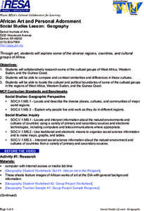
Geography
Young scholars work together in groups to research the cultural groups of West Africa, Sudan and the Guinea Coast. They compare and contrast each culture and locate the political and cultural boundaries on a map.
Curated OER
Lesson- Infinite Potential Well
Student create a numerical model which integrates Schrodinger's equation in 1 dimension. They discuss the properties of the solutions which match the boundary conditions. Student discusss any limitations if there are any in there model.
Curated OER
Historical Atlas
Sixth graders evaluate how revolutions have affected the world throughout history (i.e. boundaries of nations, culture, economics, etc...) through the research for and creation of a historical atlas for assigned countries.
Curated OER
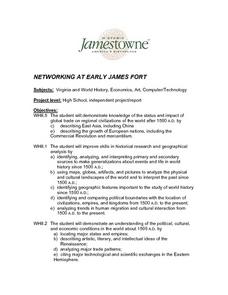
Networking at Early James Fort
High schoolers examine the impact of global trade on regional civilizations of the world after 1500. They research and analyze images of pottery excavated at Jamestown, and create a poster that presents information about world trade...
Curated OER
What Masks Reveal
Students explore the cultural significance of masks by investigating the role they play in ceremonies and on special occasions in societies from widely separated regions of the world.
Curated OER
Mapping Your Neighborhood
Students define and outline their neighborhoods using GIS (geographic information systems) or a regional map and relate their neighborhoods to the principles of Smart Growth.
Curated OER
United Kingdom
Middle schoolers investigate the geographical features of the United Kingdom. They create a clay, playdoh, or salt and flour map of the region. The maps should be labeled with landmarks and bodies of water. They can also draw maps on...
Curated OER
Symbols and Landmarks
Third graders study American national holidays, symbols, songs and landmarks. They appreciate the meaning and significance of our nation's ideals of liberty, justice and equality.
Curated OER
Making and Carrying Out Laws
Second graders explain the institutions and practices of governments in the United States and other countries. They explain the difference between making laws, carrying out laws, determining if laws have been violated and punishing...
Curated OER
Biographies of Heroes
Second graders explain the importance of individual action and character. They explain how heroes from long ago and the recent past make a difference in others' lives.
Curated OER
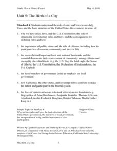
The Birth of a City
Third graders understand the role of rules and laws in our daily lives. They research the basic structure of the United States government. They participate in a simulated City Council meeting.
Curated OER
The Volcano Factory
Collaborative groups work together to report on the volcanic activity leading to island formation and construct models to demonstrate the process. Consider having each group present their project to the rest of the class. There are many...
Curated OER
My Friend, the Volcano
Working in cooperative groups, young scientists research and report on how undersea volcanic activity may benefit marine ecosystems. There are many links to websites that you can use to stimulate curiosity or for pupils to use for...


