Curated OER
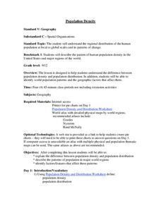
Population Density
Students examine world population density and population distribution. They create pie charts showing population distribution and analyze population patterns in the United States and major regions of the world. They identify...
Curated OER
Find a Cave
Students locate their own communites and the nearest caves on a United States map. They calculate the distance to the nearest cave using rough scale.
Curated OER
East Asia & The World
Students discuss the relationships between East Asia and the United States. They examine the importance of trade and politics. They examine graphs and charts of certain aspects of the region and discuss.
Curated OER
Recognizing How Another Culture Differs From One's Own
Students determine what it means to be on time. In this cultural comparisons lesson, students compare the notion of punctuality between the United States and Guinea. Students read "Being on Time," by Kimberly Ross and discuss the...
Curated OER
An International Dinner Table
Students investigate the origins of several crops eaten in the United States today. The facto0rs that influence consumer choices and the influences on the American population as to eating preferences are discussed in this lesson.
Curated OER
Images of Our People
Students investigate the history of peoples in the western United States. To accomplish this Students use photographs as images that capture the context of different cultures. Then they write reflections about each culture.
Curated OER
Finding River Cities
Using a wall map, students will find major rivers in the four regions of the United States. Then they answer questions about how people use natural resources, such as rivers.
Curated OER
The Causes of Prohibition
Eleventh graders explore the origins of the Prohibition Movement in the United States. In small groups, they analyze the influence of World War I in the passage of the eighteenth amendment. Students explain how different demographics of...
Curated OER
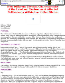
Land and Environment Affected Settlement
Students analyze the physical characteristics of different regions of the United States and how these physical characteristics affected settlements across the States.
Curated OER
From Bolls to Bolts
Fifth graders explore the economic effects of the colonization of North America. In this Social Studies lesson, 5th graders examine the economic and cultural results that occurred due to North America entering the market. Students...
Curated OER
Across Five Aprils
Eighth graders are introduced to the novel "Across Five Aprils" written by Irene Hunt. They become familiar with the people, places, and events referenced in the story and comprehend the story of the Civil War. Students are given a...
Curated OER
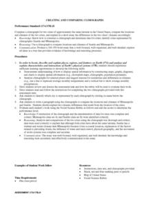
Creating and Comparing Climographs
Students are introduced to the importance and usefulness of climographs. In groups, they create a climograph of two cities on about the same latitude. They compare and contrast the locations and climates of the two cities and write a...
Curated OER
States and Territories
In this United states worksheet, 5th graders read a short script pertaining to the states and territories. Students complete 10 fill in the blank questions and self check this online interactive worksheet.
Curated OER
Southeast States
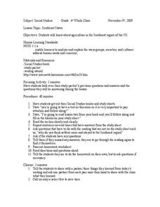
Fourth graders acquire knowledge about the settlement of the southeast region of the United states. In this united states geography lesson, 4th graders learn to analyze and understand the ways in which groups in society have marked...
National Endowment for the Humanities
The 1828 Campaign of Andrew Jackson: Territorial Expansion and the Shift of Power
Young scholars make connections between changes in voting participation and the election of 1828, and describe regional factors evidenced by the voting results of the election of 1828.
National Endowment for the Humanities
The 1828 Campaign of Andrew Jackson and the Growth of Party Politics
High schoolers analyze changes in voter participation and regional power, and review archival campaign documents reflecting the dawn of politics as we know it during the critical years from 1824 to 1832. Students utilize worksheets and...
Curated OER
Home Work
Students identify and examine domestic work, skills, and crafts, they find various arenas of traditional learning in their homes and daily lives. They identify experts at home and in their region whose skills contribute to building...
Curated OER
Civil War and Reconstruction
Learners examine the differences between the North and South during the pre-Civil War era. In this Civil War era lesson plan, students spent 7 days looking at things that were different between the Union and Confederate state before the...
Curated OER
The Constitutional Convention: Four Founding Fathers You May Never Have Met
Learners read biographies of their assigned Founding Father. They present an oral argument that their assignee deserves to be better known by making connections between regional politics and postions defined by character.
Curated OER
Acid Rain in our State
Students conduct internet research on acid rain, a serious environmental problem. They examine the pH levels of rainwater for their state, collect data from their community and investigate the causes and solutions for acid rain.
Curated OER
Quarters from the Coast
Students examine the Maine state quarter and discuss the features on the quarter that identify Maine as a coastal state. They identify coastal states and inland states on a map.
Curated OER
Making and Carrying Out Laws
Second graders explain the institutions and practices of governments in the United States and other countries. They explain the difference between making laws, carrying out laws, determining if laws have been violated and punishing...
Curated OER
The 1828 Campaign of Andrew Jackson: Issues in the Election of 1828 and Beyond
Students research the campaign and election issues of Andrew Jackson. In this presidential election instructional activity, students research the campaign of 1828. Students then list the important issues. Students discuss the political...
Curated OER
Natural Resources and Transportation in the United States
Students study thematic maps (included with the lesson) to determine possible relationships. They develop three hypotheses about the relationship. Students choose one of their hypotheses to explain. The explanation is to include reasons...
Other popular searches
- United States Regions
- United States Maps Regions
- 5 United States Regions
- United States Regions South
- Seven United States Regions
- Unites States Regions
- 5 Regions of the United States
- United States Economic Regions
- United States Climate Zones


