National Wildlife Federation
National Wildlife Federation: Mississippi River Delta
Briefly explore the geography and history, meet the wildlife, and understand the conditions threatening Coastal Louisiana.
CK-12 Foundation
Ck 12: Earth Science: Landforms From Stream Erosion and Deposition
[Free Registration/Login may be required to access all resource tools.] Explains how and where rivers erode and deposit sediments, including particles and dissolved ions.
Other
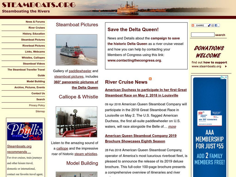
Steamboating the Rivers
A detailed site providing information on the history of steamboats and many facts on this older form of transportation. Take a virtual tour and learn about some popular steamboats of the time.
PBS
Pbs Learning Media: Taming the Mississippi
At 2,300 miles long, the Mississippi River is the second longest river in North America. People have tried to control the flow of the river to prevent floods and keep it flowing towards port cities. This can lead to loss of land in the...
Other
Arkansas Department of Parks and Tourism: Arkansas Virtual Regional Map
Take a virtual tour of Arkansas by clicking on each of its major regions .. the Ozarks, River Valley, Central, Delta, Timberlands, and the Ouachitas region. Terrific photos, video clips, maps, and descriptive information is included for...
Other
Virtual Online Steamboat Museum: Steamboat Museum
This resource was created to help save the Delta Queen, the magnificent steamboat that still makes her way up and down the rivers. There are hundreds of photos and stories, collections, and research links available to the steamboat...
Curated OER
University of Texas: Relief Map of Vietnam
From the Perry-Castaneda Collection, a relief map of Vietnam, showing the highlands, river valleys, and the Mekong Delta. Click on the map to zoom in for a closer view.
NOAA
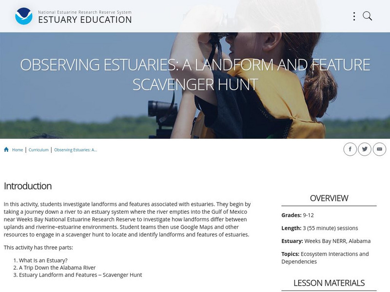
Noaa: Estuaries 101 Curriculum: Observing Estuaries:
Students investigate landforms and features associated with estuaries by taking a journey down a river to an estuary system where the river empties into the Gulf of Mexico near Weeks Bay. They will use Google Maps and other resources to...
Curated OER
University of Texas: Botswana: Map
A small map of Botswana that shows the Okavango River and delta as well as the salt pans. From the Perry-Castaneda Collection.
Curated OER
Etc: Maps Etc: Delta of the Ganges River, India, 1873
A map from 1873 of the Ganges River delta in what was at the time the Bengal province of British India. The map shows the main course of the Ganges River, the Hoogly and Hooringotta distributaries, and the Sunderbunds at the mouth of the...
Curated OER
Science Kids: Science Images: Ganges River Delta
This NASA satellite image shows the Ganges River Delta. The Ganges River flows through India and Bangladesh. For more information on rivers, check out the ten longest rivers in the world or our fun river facts for kids.
Curated OER
Science Kids: Science Images: Nile River Delta
This is an amazing satellite image of the Nile River Delta as seen from orbit. Located in North East Africa, the Nile River is largely agreed to be the longest river in the world, reaching 6650 kilometres (4132 miles) in length. For more...
Curated OER
Educational Technology Clearinghouse: Maps Etc: The Perdido River, 1790 1842
A map of the Perdido River area, including Mobile Bay, Pensacola, and the Mississippi Delta. The Perdido River was the disputed boundary of West Florida between the United States and Spain, resolved in 1819 when Spain ceded Florida under...
Curated OER
Unesco: Senegal: Saloum Delta
Fishing and shellfish gathering have sustained human life in the 5,000 km2 property, which is formed by the arms of three rivers. The site comprises brackish channels encompassing over 200 islands and islets, mangrove forest, an Atlantic...
The British Museum
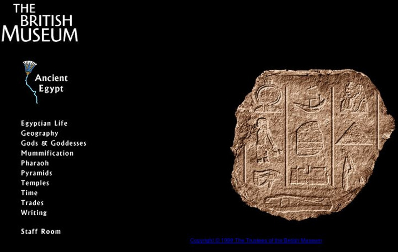
British Museum: Ancient Egypt
A comprehensive site on Ancient Egypt, including sections on the lifestyle, geography, religion, and politics of the country.
NOAA
Noaa: National Ocean Service Education: Estuaries
Illustrated tutorial explains estuary ecosystems. Animations and illustrations help students become more familiar with the plant and animal communities which make up this coastal habitat.
US Environmental Protection Agency
Epa: Exploring Estuaries
Find click-through tours of estuaries in New York and in Louisiana that provide sustained reading on the science of river deltas. Text is supported by illustrations and a glossary of special terms.
Curated OER
Okavango Delta Map
Experience the Okavango, a "river that never meets the sea." Learn about the animals there, how to make papyrus, and swampy deltas.
CK-12 Foundation
Ck 12: Fourth Grade: Earth Science: Erosion and Deposition by Flowing Water
[Free Registration/Login may be required to access all resource tools.] Discusses how flowing water causes erosion; describes how runoff, streams, and rivers change Earth's surface; and identifies features caused by groundwater erosion.
Curated OER
Ganges River Delta.
A really cool site showing Satellite (Landsat 7) images of unique geographical and meteorological phenomena. Images show cloud formations to rainforest devastation.
Encyclopedia of Earth
Encyclopedia of Earth: Ocean Oil: Deepwater Horizon Disaster
A collection of articles on the Deepwater Horizon oil spill that happened on April 20, 2010. It was caused by an offshore explosion on an oil platform fifty miles southeast of the Mississippi River delta.
Curated OER
Educational Technology Clearinghouse: Maps Etc: North America, 1899
A study map from 1899 using North America to illustrate various geographic terms commonly found on maps. The map shows examples of continent, river valley, peninsula, strait, bay, political boundary, lakes, island, ocean, cape, sound,...
PBS
Pbs: Journey to Planet Earth: Land of Plenty, Land of Want
Part of the PBS series "Journey to Planet Earth," this site explores the "fundamental problem facing today's farmer: how to feed the world's growing population without endangering our environment." Includes video and educational resources.
National Humanities Center
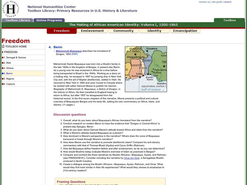
National Humanities Center: Toolbox Library: Bight of Biafra, Making of African American Identity: V. 1
An audio clip of a Yoruba drum and two accounts by slaves or their descendants that offer African perspectives on life and culture in the Niger River Delta.


