CK-12 Foundation
Ck 12: Second Grade Science: A World of Ice and Water
[Free Registration/Login may be required to access all resource tools.] Covers different bodies of water, including rivers, lakes, and oceans.
Read Works
Read Works: Westward Expansion the Erie Canal
[Free Registration/Login Required] An informational text about the building of the Erie Canal. A question sheet is available to help students build skills in reading comprehension.
InterKnowledge Corp.
Geographica.com: Adventure in Argentina
This site from Geographica.com contains information on a variety of parks in Argentina. A description of each follows the name of the park.
Other
Alberta Riparian Habitat Management Society: Riparian Soils [Pdf]
Riparian soils occur along the edges of a lake, stream or river. Pictures and diagrams in this fact sheet explain the importance of and composition of riparian soils.
EL Education
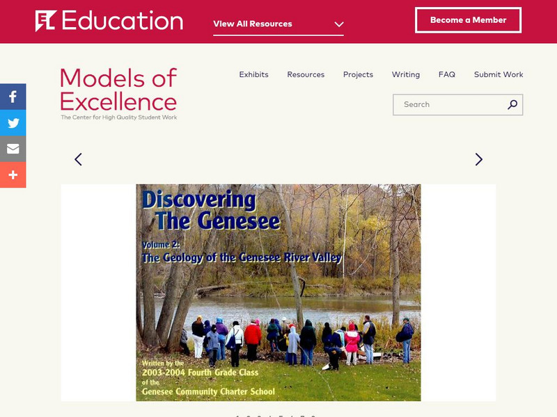
El Education: Discovering the Genesee Volume 2
The Geology of the Genesee River Valley is the second volume of a series produced by 4th grade students at the Genesee Community Charter School while studying geology, physical fitness, and artist composition. The Students spent three...
Curated OER
Montreal and the Junction of the St. Lawrence and Ottawa Rivers, 1909
A map from 1909 of Montreal at the confluence of the Ottawa and St. Lawrence Rivers and vicinity, showing the city, railroads, the Island of Montreal, Isle of Jesus, Perrot Island, Riviere des Prairies, Lake St. Francis and Lake St....
Curated OER
Unesco: Kazakhstan: Saryarka Steppe and Lakes of Northern Kazakhstan
Saryarka - Steppe and Lakes of Northern Kazakhstan comprises two protected areas: Naurzum State Nature Reserve and Korgalzhyn State Nature Reserve totalling 450,344 ha. It features wetlands of outstanding importance for migratory water...
Curated OER
Mountains, Plains, Rivers, Isothermal Lines of the United States, 1873
A map from 1873 of the United States showing the physical features of mountain systems, plateaus, basins, plains, rivers, lakes, and coastal features, with elevations given for prominent peaks given in feet above sea level. The map is...
Curated OER
Photograph: Hudson's Bay Company Post, Dog Head Point, Lake Winnipeg, 1884
This entry from the National Library of Canada's presentation on Canadian Confederation, looks at the 1870 inclusion of Manitoba. Built from the North-Western Territory, the province was founded by Metis, Francophones from Lower Canada,...
Ducksters
Ducksters: Science for Kids: Freshwater Biome
Kids learn about the freshwater aquatic biome. Ecosystems such as rivers, streams, ponds, lakes, wetlands, swamps, and bogs.
ClassFlow
Class Flow: Map Skills Germany
[Free Registration/Login Required] In this lesson map skills are reinforced by identifying physical features in Germany. Mountains, rivers, lakes, and land elevation are discussed. Political maps identify population and cities.
Science Education Resource Center at Carleton College
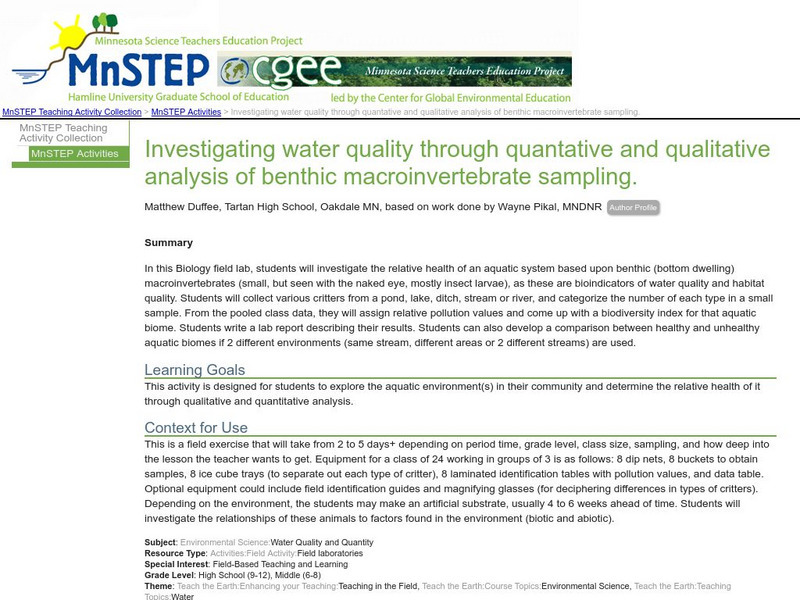
Serc: Investigating Water Quality Through Quantative and Qualitative Analysis
By looking at the bottom dwelling macroinvertebrates, students will investigate water quality and habitat quality in this field lab. Students will record the number of creatures found at the bottom of a pond, lake, ditch, stream or river...
Curated OER
University of Texas: Zambia: Relief Map
A relief map of Zambia showing the mountainous regions, rivers, lakes, and swamps. Clicking on the map will enlarge it. From the Perry Castaneda Collection.
Curated OER
Educational Technology Clearinghouse: Maps Etc: Quebec, 1613
A facsimile from a map by Samuel Champlain (1613) of the vicinity of Quebec on the St. Lawrence River, where on 3 July, 1608, Champlain laid the foundations of the city which still bears the name of Quebec. The map is keyed to show (A)...
Curated OER
Educational Technology Clearinghouse: Maps Etc: Welland Canal, 1833 1871
A map from 1921 of the Niagara River area between Lake Ontario and Lake Erie showing the location of the Welland Canal bypassing the Niagara Falls. The Welland Canal, "a canal on the Canadian side of the Niagara River, connecting lakes...
Curated OER
Educational Technology Clearinghouse: Maps Etc: Province of Quebec, 1922
A map from 1922 of the province of Quebec, showing the more populous region around the St. Lawrence River from Montreal to Quebec and north to the mouth of the river into the Gulf of St. Lawrence. The map shows major cities and towns,...
Curated OER
Educational Technology Clearinghouse: Maps Etc: Province of Quebec, 1909
A map from 1909 of the province of Quebec, showing the more populous region around the St. Lawrence River from Montreal to Quebec and north to the mouth of the river into the Gulf of St. Lawrence. The map shows major cities and towns,...
Curated OER
Educational Technology Clearinghouse: Maps Etc: Province of Quebec, 1912
A map from 1912 of the province of Quebec, showing the more populous region around the St. Lawrence River from Montreal to Quebec and north to the mouth of the river into the Gulf of St. Lawrence. The map shows county boundaries, major...
Curated OER
Educational Technology Clearinghouse: Maps Etc: Province of Quebec, 1914
A map from 1914 of the province of Quebec, showing the more populous region around the St. Lawrence River from Montreal to Quebec and north to the mouth of the river into the Gulf of St. Lawrence. The map shows county boundaries, major...
Curated OER
Educational Technology Clearinghouse: Maps Etc: Central Perthshire, 1908
A detailed travel map of Scotland from 1908, showing portions of counties Perth, Stirling, Clackmannan, Dumbarton, and Linlithgow. The map shows first class and secondary roads, railways, cities, towns, ports, canals, rivers, and terrain...
Curated OER
Educational Technology Clearinghouse: Maps Etc: Relief Map of Africa, 1890
A relief map from 1890 of Africa showing the major mountain, desert, river, and lake systems on the continent. "The whole continent is a moderately-elevated plateau surrounded of all sides by marginal mountains which either slope...
Curated OER
Educational Technology Clearinghouse: Maps Etc: Montreal, 1888
A map from 1888 of Montreal and vicinity showing the city, the Island of Montreal, St. Lawrence River, Isle of Jesus, Ottawa River, Riviere des Prairies, Sorel River, and Lake St. Louis, and the neighboring cities and towns of Longueil,...
Curated OER
Etc: Port Royal (After Champlain), 1603 1639
A facsimile from a map by Samuel Champlain (1613) of the Port Royal basin (Annapolis Royal), Nova Scotia. The map is keyed to show (A) our habitation, (B) Champlain's garden, (C) road made by Poutrincourt, (D) island, (E) entrance, (F)...
Curated OER
Etc: Maps Etc: Niagara Falls During the War of 1812, 1814
A map of the Niagara River between Lake Erie and Lake Ontario showing the site of the Battle of Lundy's Lane during the War of 1812.
Other popular searches
- About Rivers and Lakes
- Rivers and Lakes Geography
- Lakes and Rivers
- Rivers Lakes Streams
- Rivers, Lakes, Streams
- Usa Lakes and Rivers


