Curated OER
Educational Technology Clearinghouse: Maps Etc: Switzerland, 1872
A map of Switzerland in 1872, showing the Cantons, major cities and towns, railways, mountain systems and passes, rivers, and lakes. An inset map details the area around Bern, and a latitude reference to New Brunswick is shown on the...
Curated OER
Educational Technology Clearinghouse: Maps Etc: Switzerland, 1803 1815
A map of Switzerland in 1803, under the Act of Mediation issued by Napoleon establishing the Swiss Confederation. This map is color-coded to show the nineteen Cantons under the Act in tan, and the three Cantons, the Bishopric of Basel,...
Curated OER
Etc: Maps Etc: Interior Water Routes of the Us, 1910
A map from 1910 of the United States showing the navigable rivers and lakes of the interior in which water depths are three feet or more.
Curated OER
York Region District School Board: Pioneer Life in Upper Canada: Water
Pioneers usually settled near rivers or lakes as the waterways were their highways. Find out about their methods of travel.
Curated OER
York Region District School Board: Pioneer Life in Upper Canada: Water
Pioneers usually settled near rivers or lakes as the waterways were their highways. Find out about their methods of travel.
Other
The Weekly South Dakotan: South Dakota History for 4th Grade
From the very beginning and through the twentieth century, this comprehensive collection of lessons will enrich students studying the history in between and the effects on South Dakota.
Encyclopedia of Earth
Encyclopedia of Earth: Oceans and Seas: Gulf of St. Lawrence
Detailed information about the hydrology and the geography of the Gulf of St. Lawrence. Discusses water quality, aquatic species, and some of the ecoregions that surround the St. Lawrence Seaway, including lowlands and forests....
PBS
Pbs Learning Media: Atchafalaya Bay Deltas
The Mississippi Delta is disappearing because of rising sea levels and the construction of levees, yet the deltas in the Atchafalaya Bay are growing. View this video from NASA showing images collected over 31 years showing the growth of...
Other
Alberta Riparian Habitat Management Society: What Is Riparian?
Learn what riparian areas are, why they are important for the health of standing and moving fresh water, how to assess their health, and how to take care of them.
Smithsonian Institution
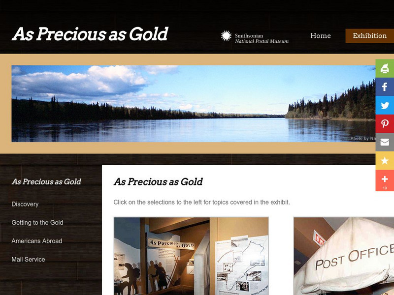
National Postal Museum: As Precious as Gold
"As Precious as Gold," is an online exhibit from the National Postal Museum which explores the rich history of the Alaskan/Klondike gold rushes. Find stories on extraordinary women, the trails, the Palm Sunday avalanche, the U.S. Postal...
US Environmental Protection Agency
Epa: Water Resources: Water Bodies
Learn about EPA's work to protect and manage water resources and what you can do to help.
US Geological Survey
U.s. Geological Survey
The U.S. Geological Survey reports on the latest news affecting the earth today, as well as providing a wealth of data, reports, and information.
PBS
Pbs: American Experience: Panama Canal
Regarded as one of the seven wonders of the modern world, the Panama Canal opened for business on August 15, 1914. America's ingenuity and innovation had triumphed over insurmountable odds. PBS brings us this incredible story via online...
University of North Carolina
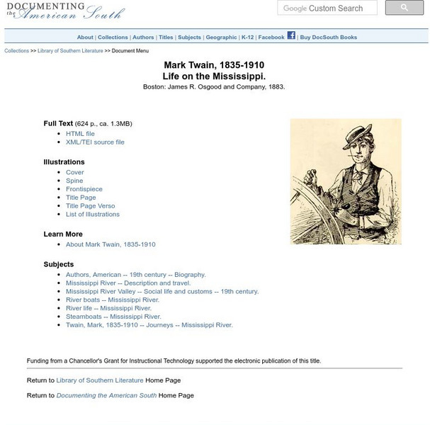
Mark Twain: Life on the Mississippi
Here, read Mark Twain's (1835-1910 CE) book, "Life on the Mississippi," which was originally published in 1883. Download two HTML versions of the text: one providing links to images in the original text and one with images included.
Center for Innovation in Engineering and Science Education, Stevens Institute of Technology
Ciese Collaborative Projects: The Global Water Sampling Project
By testing your local water quality, you will be able to compare your results with students around the world. Register your class, and follow the project instructions. Additional teacher resources, references, and Ask-an-Expert sources...
Curated OER
University of Texas: Democratic Republic of the Congo: Political Map
A political map the the Democratic Republic of the Congo that shows the province boundaries, major cities and highways, neighboring countries, and significant physical features. From the Perry Castaneda Collection.
Australian Museum
Australian Museum: Sedimentary Environments
This resource gives short descriptions of how sedimentary deposition occurs in rivers, lakes, river mouths, coral reefs, glaciers, arid environments, and tropical environments.
Other
Corporation of the County of Haliburton: The County of Haliburton
Haliburton is an Ontario county that is renowned for it tourism due to the regions many lakes and rivers. Information is provided on the areas government, economy and tourism activities.
NASA
Nasa: World Map Puzzle
This site from the National Aeornautics and Space Administration provides an interesting activity with a relief map and its correlation with space. "Wouldn't it be fun to make your own miniature world, complete with mountains, valleys,...
CK-12 Foundation
Ck 12: Life Science: Aquatic Biomes
[Free Registration/Login may be required to access all resource tools.] Aquatic biomes can be generally classified based on the amount of salt in the water. Freshwater biomes have less than 1% salt and are typical of ponds and lakes,...
NSTATE
Netstate.com: The Geography of Arkansas
Quick facts about the geography of Arkansas including land area, highest and lowest points, elevations, lakes, rivers, regions, and climate.
PBS
Pbs Learning Media: The Water Planet
75% of our earth is covered by water. Water can be found in oceans, lakes, rivers, groundwater, and sea ice. View these captivating photos of our earth showing the different water sources and images of our earth taken by NASA. Background...
Pennsylvania State University
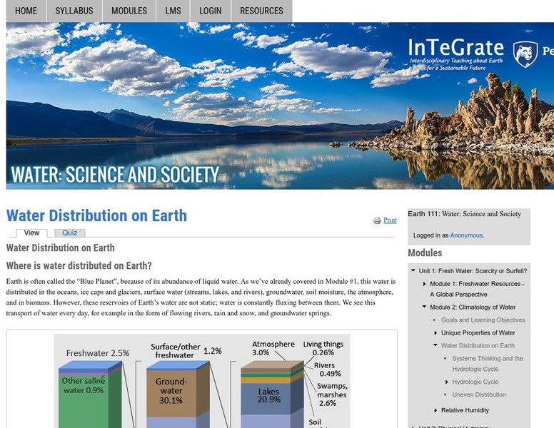
Earth 101: Distribution of Water on the Earth's Surface
The distribution of water on the Earth's surface is extremely uneven. Only 3% of water on the surface is fresh; the remaining 97% resides in the ocean. Of freshwater, 69% resides in glaciers, 30% underground, and less than 1% is located...
American Geosciences Institute
American Geosciences Institute: Earth Science Week: Splish Splash
Students conduct a large-group brainstorming session on the various places where liquid water can be found on Earth. Then they create a list of places, such as oceans, lakes, rivers, aquifers and trace the path the water travels.
Other popular searches
- About Rivers and Lakes
- Rivers and Lakes Geography
- Lakes and Rivers
- Rivers Lakes Streams
- Rivers, Lakes, Streams
- Usa Lakes and Rivers


