Curated OER
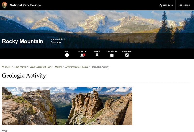
National Park Service: Rocky Mountain National Park: Geologic Activity
The National Park Service gives information on glaciers during the Bull Lake glaciation period and the Pinedale glaciation period. Find out what happened to these glaciers and what they left behind.
Curated OER
Western Mountains: The Rockies
See beautiful photographs of Canadian mountains while introducing yourself to the formation, vegetation, animal life, and other geological features.
Curated OER
Etc: Maps Etc: Mexico, Central America, and the West Indies, 1898
A map from 1898 of Mexico, Central America and the West Indies. The map includes an inset map of Cuba and the Isthmus of Nicaragua. "The surface of the Rocky Mountain highland in Mexico is quite similar to that of the great plateau...
Curated OER
Educational Technology Clearinghouse: Maps Etc: Denver Basin, 1911
A geologic map of a section of the Colorado Front Range near Denver and Golden showing the structure and topography of the common border between the Great Plains and Southern Rockies. The map is keyed to show rock types, formations, and...


