Curated OER
SHOW 303: The Channel Island Fox
Young scholars explore how archaeologists and other scientists use different clues to piece together a picture of the past. Students perform activities that allow them to conduct three types of scientific research. They discuss their...
Curated OER
Geology of Yosemite
Young scholars are shown slides of Yosemite and explore how the valley was formed by performing an experiment. Instructions on how to set up the lab are included. They can be assessed orally or by writing a report on the outcome of the lab.
Curated OER
Do Human Practices Affect Water Quality?
Students determine if human practices have any noticeable effects on the quality of stream life as measured by the presence of certain macroinvertebrates. They collect, preserve and identify macroinvertibrate samples and quantify the data.
Curated OER
Mountains in the Sea Exploration No Escape
High schoolers study data to hypothesis about the influence of a water circulation cell on the retention of benthic invertebrate larvae in the area of a seamount. They investigate the positives and negatives of larvae retention in this...
Curated OER
Community Improvement
Students examine a local body of water to determinet the health of its ecosystem and monitor it during the year. If needed they write a report on any conditions that need improvement including photographs and relevant data.
Curated OER
Three Dimensional Geology
Students use rocks and fossils to interpret the geology of an area. They use prior knowledge and make recommendations about where to build a subdivision based on the rocks.
Curated OER
Don't oZone Out
Students study the ozone and measure its concentration in different areas. Students use Ecobadge strips and other equipement for measurement. Then they share their results on an on-line forum. Also, students study environmental problems.
Curated OER
Archaeology Volunteers
For this archaeology worksheet, students read about 4 tasks involving archaeologists. Students also answer 3 questions about the reading.
Curated OER
Natural Hazards
Students evaluate the hazards of naturally occurring events. After watching a video concerning safety hazards, students work in groups to discuss the safety issues involved in taking a trip to a mountainous region. Recommendations are...
Curated OER
Using My Nasa Data To Determine Volcanic Activity
Young scholars use NASA satellite data of optical depth as a tool to determine volcanic activity on Reunion Island during 2000-2001. They access the data and utilize Excel to create a graph that has optical depth as a function of time...
Curated OER
Coon Rapids
Students study the development and future of Coon Rapids, Minnesota. They navigate through learning activities about the development and
predict future growth of Coon Rapids.
Curated OER
Creating and Analyzing Graphs of Tropospheric Ozone
Students create and analyze graphs using archived atmospheric data to compare the ozone levels of selected regions around the world.
Curated OER
Earthquake Introduction
Learners investigate basic principles and properties of earthquakes, including vocabulary, causes, and types of faults. They examine history of seismic activity in their home state, and complete "Locating Patterns of Distribution" lab.
Curated OER
Landforms
Students study how landforms affect all aspects of a community. Students work in groups to identify landforms from other works of art. In cooperative groups Students select a work of art depicting a particular land form and create a poem.
Curated OER
My Own Private Idaho; Using Social Studies to Explore Idaho
Students engage in several activities to explore Idaho and Social Studies themes. Using an variety of media, students become familiar with Idaho's geography and geology.
Curated OER
What's Its Slope
Students identify the slope of a lines.In this algebra lesson, students define the meaning of slope and write an equation given the slope. They graph linear functions using the slope and y-intercept.
Curated OER
Math and Native Americans
Students explore how math is relevant to Native Americans. Students investigate Indian culture through geometry. They describe and create geometric polygons and patterns. Students problem solve with tangram patterns to make Indian...
Curated OER
Identifying Sea Ice
Students study different types of sea ice and interview an Yupik elder or local hunter. In this sea ice lesson, students study the native language for sea ice terms. They interview an elder from Alaska's northern coast about their...
Curated OER
African Safari
Seventh graders examine different countries in Africa to research. They choose one to concentrate their research on using the five themes of geography. They design a multimedia presentation that will make up the African safari.
Curated OER
High Mountain Retreat
Students explore and analyze atmospheric conditions for a high mountain retreat. They examine the relationship between altitude, atmospheric pressure, temperature and humidity at a particular location. In addition, they write reports...
US Geological Survey
U.s. Geological Survey: The National Map: 125 Years of Topographic Mapping
Website offers a history of the National Program for Topographic Mapping (1884-2009).
Math Science Nucleus
Math Science Nucleus: Topographic Maps
For a picture of a topographical map, go to this page. There is some information to help you understand what they are.
CK-12 Foundation
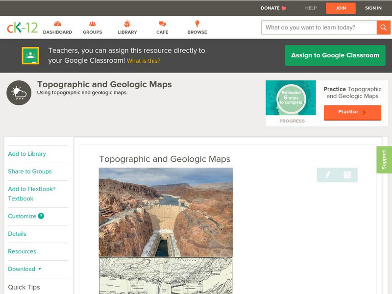
Ck 12: Earth Science: Topographic and Geologic Maps
[Free Registration/Login may be required to access all resource tools.] How to use topographic and geologic maps.
CK-12 Foundation
Ck 12: Earth Science: Map Projections
[Free Registration/Login may be required to access all resource tools.] How to use topographic, bathymetric, and geologic maps.


