US Geological Survey
Usgs: Monterey Submarine Canyon, California Moored Array Data Report [Pdf]
This advanced site discusses some of the research done and research techniques used in studies of the Monterey Canyon. Great graphics showing the position of the canyon relative to other features of the continental margin. Also...
Other
University of California: Ocean Drilling Program
Scientists probe the ocean floor off Costa Rica and find evidence that may tell us more about what goes on in ocean trenches.
University of California
Ucmp: Plate Tectonics: The Mechanism
A basic description of the driving force behind plate movement. Describes major features of the ocean floor including mid-oceanic ridges.
US Geological Survey
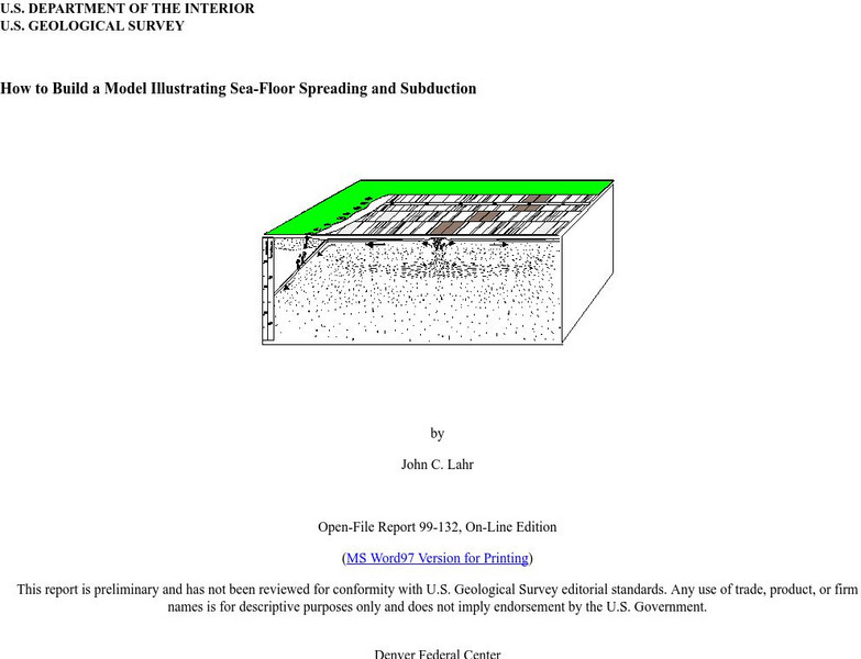
Usgs: How to Build a Model Illustrating Sea Floor Spreading
This is a comprehensive website featuring how to build a model that illustrates sea-floor spreading and subduction. It has diagrams and pictures reviewing major geological concepts.
University of California
University of California, Santa Barbara/abyssal Hills
This article, published in Nature magazine, gives a detailed account of the abyssal plain feature called abyssal hills.
Institute of Marine Science
Forsea: If I Can't See It, How Do I Know It's There?
A diagram showing features of the seafloor and a laboratory experiment involving a model of the seafloor highlight this site. This is a good resource for teachers as well.
University of California
Mid Ocean Ridge
An article from Scientific American details some recent discoveries about the ridge systems. "New maps reveal striking details of how segments of the Ridge form and evolve."
US Geological Survey
Usgs: u.s. Atlantic Continental Margin Gloria Mapping Program
This site from the U.S. Geological Survey allows you to access detailed images of the continental margin around the United States. There is additional information about the sonar methods used, and a wealth of additional sources listed.
US Geological Survey
Usgs: Plate Tectonics and Mid Oceanic Ridges
Excellent graphics and understandable text about all aspects of plate tectonics including mid-ocean ridges.
US Geological Survey
Usgs: Bathymetry of the Marshall Islands
This map details the area around the Marshall Island seamounts. Seamounts are one of many features that are found in conjunction with abyssal plains.
Extreme Science
Extreme Science: Challenger Deep
A short description of the world's deepest ocean trench. Includes diagram and map.
Other
Ocean Trenches
A rather detailed explanation of how trenches form and why. No graphics, but some interesting explanations as well as links to other sites and extensive reference list.
University of Washington
University of Washington: Coastal Processes and the Continental Margin
Events affecting the continental margin off Washington State are presented. This article comes from the "Thompson Times," an onboard newspaper from the UW's primary research vessel, the Thomas Thompson.
Encyclopedia of Earth
Encyclopedia of Earth: Arctic Ocean
Lengthy illustrated article about the Arctic Ocean discusses all the many features and characteristics of this vast northern ocean--sea ice, icebergs, ice shelves, ice islands, the Arctic Ocean floor, continental shelf--as well as the...
Science Education Resource Center at Carleton College
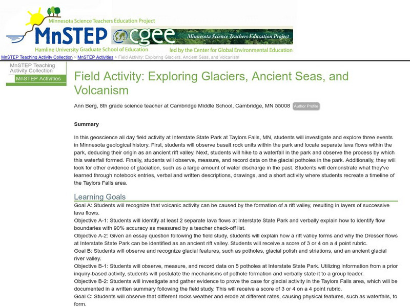
Serc: Field Activity: Exploring Glaciers, Ancient Seas, and Volcanism
In this geoscience all day field activity at Interstate State Park at Taylors Falls, MN, students investigate and explore three events in Minnesota geological history.
Woods Hole Oceanographic Institution
Woods Hole Oceanographic Institute: What Are the Deepest Parts of the Ocean?
A brief description of the ocean's deepest parts.
Science Struck
Science Struck: Interesting Facts About the Abyssal Zone
The Abyssal Zone lies deep in the ocean in the pelagic layer between 4,000 to 6,000 m or 13,000 to 19,500 ft. Learn about some of the unique life forms that call this zone their home, how they have adapted to the extreme pressure and...
Curated OER
Unesco: Spain: Teide National Park
Situated on the island of Tenerife, Teide National Park features the Teide-Pico Viejo stratovolcano that, at 3,718 m, is the highest peak on Spanish soil. Rising 7,500 m above the ocean floor, it is regarded as the world’s third-tallest...


![Usgs: Monterey Submarine Canyon, California Moored Array Data Report [Pdf] Handout Usgs: Monterey Submarine Canyon, California Moored Array Data Report [Pdf] Handout](https://d15y2dacu3jp90.cloudfront.net/images/attachment_defaults/resource/large/FPO-knovation.png)


