Curated OER
If I Can't See It, How Do I Know It's There?
Students build a model ocean using a variety of materials representing the various levels of the ocean. They collect data about the ocean floor in a partner activity. They practice working with topographical mapping grids.
Curated OER
Under The Sea
Second graders study how a tsunami is formed by underwater events such as earthquakes, volcanoes or landslides. They discuss what they knew about living and non-living things in the ocean.
Curated OER
Seafloor Spreading
In this seafloor spreading instructional activity, students find mistakes in statements that are descriptive of seafloor spreading. Students correct the given sentences to make a true statement.
Rainforest Alliance
How Do Jaguars and Howler Monkeys in Belize Depend on Us?
How does weather play a role in the lives of land and sea creatures? Find out with a lesson focused on habitats and the ways animals from different homes are connected. Here, learners explore how the life of a jaguar and howler monkey...
Curated OER
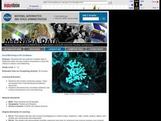
Coral Bleaching in the Caribbean
Students use authentic satellite data on the NASA website to determine when the sea surface temperature meets the criteria to induce coral bleaching.
NOAA
Community Ecology and Sampling
Seamounts in the Coral and Tasman Seas are home to more than 850 different species. Groups explore hydrothermal vents, researching the organisms found there and their energy source. They also learn about seamounts, exploring their unique...
Curated OER
Mountains in the Sea Exploration No Escape
High schoolers study data to hypothesis about the influence of a water circulation cell on the retention of benthic invertebrate larvae in the area of a seamount. They investigate the positives and negatives of larvae retention in this...
Curated OER
Sunken Slave Ship
Students imagine they are archaeologists who are looking for treasure under the sand or sea. They work in teams to create the story and site of a shipwreck in a tub or aquarium filled with sand and water.
Curated OER
Diatom Ooze
Students explore seafloor sediment. In this ocean environment lesson, students describe the characteristics of different types of seafloor sediment and oozes. They compare and discuss locations of sediments and oozes by plotting the...
Curated OER
Mid-Ocean Magnetism
Students investigate magnetic evidence that supports the theory of sea floor spreading.
Curated OER
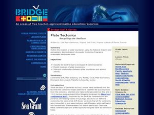
Plate Tectonics: Recycling the Seafloor
Young scholars classify earth's layers and plates using Ocean Seismicity data. In this plate tectonics lesson, students outline where the plate boundaries are on the world map. They then compare these predicted boundaries with USGS map...
Discovery Education
Sonar & Echolocation
A well-designed, comprehensive, and attractive slide show supports direct instruction on how sonar and echolocation work. Contained within the slides are links to interactive websites and instructions for using apps on a mobile device to...
Curated OER
Round and Round
Learners interpret data from a three-dimensional array of current monitors to determine an overall pattern of water circulation. They hypothesize what effect an observed water circulation pattern might have on seamount fauna. A very...
North Iowa
Identifying Kinds of Pronouns
Provide your ESL or ELA pupils with some skills practice for identifying various kinds of pronouns. Comprised of 40 problems and broken into four parts, pupils first underline all the pronouns in each sentence, then identify them as...
Curated OER
Reading Satellite Images
Students analyze satellite images. In this astronomy lesson, students examine 3 satellite images in order to understand how satellite images are taken and what they can teach scientists.
Curated OER
Exploring the Night Sky: Summer
Students explain how moon phases occur. They describe and explain at least two common misconceptions that people have about the moon. Students explain what a star is. They explain 3 ways that the night sky has been used throughout history.
Curated OER
Sum + It = Up
Students review silent reading techniques as well as summarization. They read copies of "Forest Life" silently and complete a story web to organize the main points of the story. They then use use the points to write a brief paragraph to...
Curated OER
Bell Live! The Great Lakes: A Superior Adventure
Students participate in a virtual field trip to Lake Superior. In groups, they perform experiments in which test the level of toxins and bacteria in the water. They also watch video segments life in the lake and discuss their observations.
TeachEngineering
Teach Engineering: Map That Habitat
Historically, sea floor mapping occurred with a more simple data collection method: soundings. Soundings are taken by dropping a weight with a pre-measured rope off the side of the boat and noting the measurement on the rope when the...
TeachEngineering
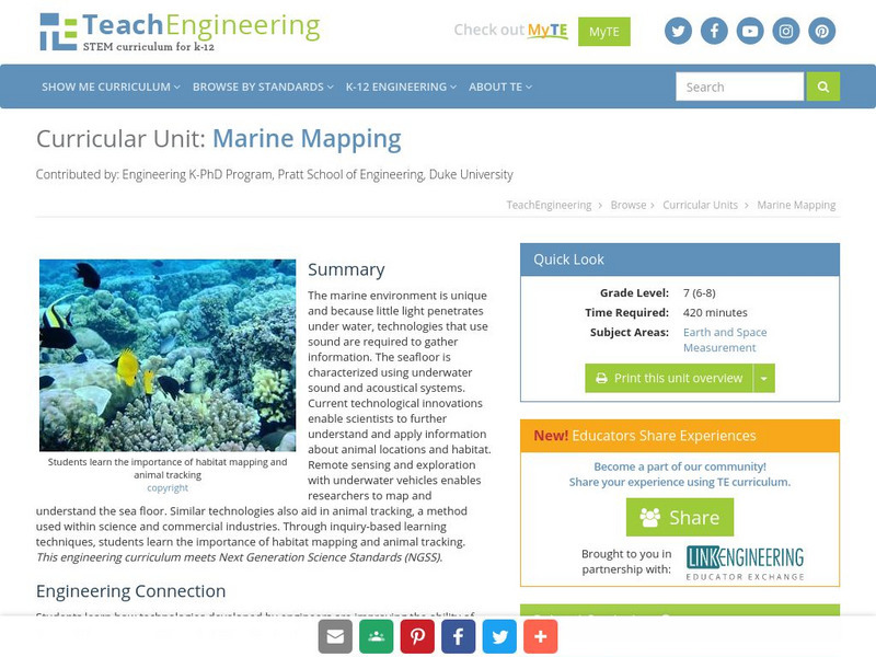
Teach Engineering: Marine Mapping
The marine environment is unique and requires technologies that can use sound to gather information since there is little light underwater. The seafloor is characterized using underwater sound and acoustical systems. Current...
NOAA
Noaa: Explorations
This resource page contains an exhaustive list of pictures and videos of sea floor structures found all over the world.
US Geological Survey
Usgs: u.s. Atlantic Continental Margin Gloria Mapping Program
This site from the U.S. Geological Survey allows you to access detailed images of the continental margin around the United States. There is additional information about the sonar methods used, and a wealth of additional sources listed.
University of California
Mid Ocean Ridge
An article from Scientific American details some recent discoveries about the ridge systems. "New maps reveal striking details of how segments of the Ridge form and evolve."
US Geological Survey
Usgs: Monterey Submarine Canyon, California Moored Array Data Report [Pdf]
This advanced site discusses some of the research done and research techniques used in studies of the Monterey Canyon. Great graphics showing the position of the canyon relative to other features of the continental margin. Also...


