Curated OER
The Rocks Under Illinois
The goal of this fine geology lesson is to have learners create a map that shows how the rock layers are arranged far underground where they can't be seen. The ambitious lesson plan requires high schoolers to learn the law of...
National Energy Education Development Project
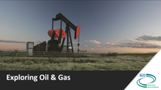
Exploring Oil and Gas
The United States consumes more oil than any other country, about 1.85 billion barrels (or 77 billion gallons) a day. Viewers learn about the history of fossil fuel exploration and how they are formed in an informative presentation. They...
Curated OER
Ride the Rock Cycle
Students examine the steps of the rock cycle. They describe what happens to the rocks in each of the stages. They participate in a rock cycle game to help them with the steps.
Curated OER
Entering The Twilight Zone
In this lesson sixth grade students get into groups and research a given ocean habitat. The major features of cold-seep communities are the objective but plenty information is given about other habitats which could be assigned to...
Curated OER
MLA Documentation Exercises
Has your school adopted the MLA style for documentation? If so, use this worksheet to assess whether or not your class members know the rules. Young researchers complete of series of documentation exercises using the MLA format. They...
Curated OER
Island formation
Students explain what an island is, and distinguish islands from similar landforms. They compare and contrast the different ways in which islands are formed.
Curated OER
Reading Maps of the East Pacific Rise
Students make qualitative and quantitative observations and use various maps to investigate the features of the East Pacific Rise The study actual bathymetric maps of the EPR region. They identify key features of the ridge and explore...
Curated OER
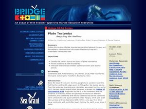
Plate Tectonics: Recycling the Seafloor
Young scholars classify earth's layers and plates using Ocean Seismicity data. In this plate tectonics lesson, students outline where the plate boundaries are on the world map. They then compare these predicted boundaries with USGS map...
Curated OER
WHY WE AREN'T FILTER FEEDERS
Students describe three methods of obtaining food: scavenging, filter feeding, and hunting. They describe three methods of obtaining food: scavenging, filter feeding, hunting, and list at least two reasons why humans are not considered...
Curated OER
Island Formation
Students create models of how islands are formed by hot spots and then write a summary of their observations and of how they think their model relates to volcanic hot spots and island formation.
Science Education Resource Center at Carleton College
Serc: Inquiry Into High Resolution Ice Core and Marine Sediment Records
Activity in which questions are provided relating to interpreting paleoclimate data such as characteristics that make sites favorable for paleoclimate records, locating sites using a map, finding patterns and correlations in the data,...
US Geological Survey
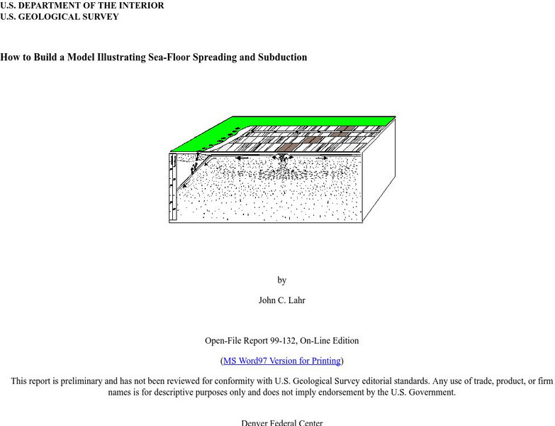
Usgs: How to Build a Model Illustrating Sea Floor Spreading
This is a comprehensive website featuring how to build a model that illustrates sea-floor spreading and subduction. It has diagrams and pictures reviewing major geological concepts.


