Library of Congress
Loc: American Memory Timeline: Colonial Settlement,1600s 1763
Read about the colonization in the New World by many European countries. Hyperlinks to you to more specific topics.
Curated OER
San Geronimo De Los Taos Mission, New Mexico
A Spanish Franciscan and a French Jesuit report on the reciprocal relationship between natives and Catholic missionaries as Europeans settled New France and New Spain.
Smithsonian Institution
National Museum of American History: Jamestown, Quebec, Santa Fe: Three North American Beginnings
Explore the origins of Canada and the United States as Jamestown, Quebec, and Santa Fe celebrate their 400th anniversary.
OpenStax
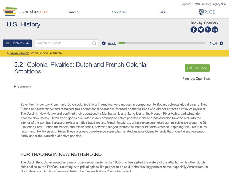
Open Stax: Colonial Rivalries: Dutch and French Colonial Ambitions
After reading a section of a chapter on "Colonial Societies," students will be able to compare and contrast the development and character of the French and Dutch colonies in North America and discuss their economies.
The Newberry Library
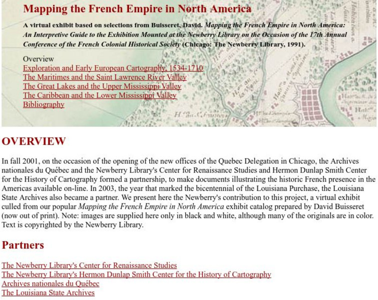
Newberry Library: Library Exhibit: Mapping the French Empire in North America
A virtual exhibit containing documents illustrating the historic French presence in the Americas.
Curated OER
Slideshow
Three documents reflecting official views of how to rule and regulate a successful colony in New France, Jamaica, and the Spanish Indies.
Curated OER
Educational Technology Clearinghouse: Maps Etc: North American Colonies, 1643
A map of the North American Colonies in 1643 at the establishment of the New England Confederation. The map is color-coded to show the territorial claims of the British, French, Dutch, and Swedish at the time, and shows the British...
Curated OER
Etc: Claims of Various European Countries to the Us, 1643 1655
A map of the eastern coast of North America showing territorial claims of Europeans and the development of the United Colonies of New England (New England Confederation) in 1643, and the territorial changes between the Dutch and British...
Curated OER
Etc: Maps Etc: The Mississippi River Route of Hennepin, 1697
A facsimile of a portion of the map created in 1697 describing the exploration and discoveries of Father Louis Hennepin in New France and Along the Mississippi. The map shows the region from the Great Lakes to the Gulf of Mexico along...
University of Groningen
American History: Outlines: Louisiana and Britain
One of Jefferson's acts doubled the area of the country. At the end of the Seven Years' War, France had ceded to Spain the territory west of the Mississippi River, with the port of New Orleans near its mouth -- a port indispensable for...
Curated OER
Educational Technology Clearinghouse: Maps Etc: The Acadian Peninsula, 1775
A map of New Brunswick and Nova Scotia in 1775, when it was known as Acadia. Acadia had been ceded by France to the British under the Treaty of Utrecht (1713). At the outbreak of the French and Indian War, the British began a campaign of...
Curated OER
Educational Technology Clearinghouse: Maps Etc: North American Colonies, 1783
A map of eastern North America in 1783 at the end of the American Revolutionary War, showing the territory of the newly formed United States as proposed by the Treaty of Paris, the Canadian border extending to the Ohio River proposed by...


