Curated OER
Sir Francis Drake
Help your learners prep for an exam testing content knowledge related to Florida's State History. Your class can use this printable page to review vocabulary, identify locations on a map, and research both knights and the Sir Francis...
Curated OER
Drake’s West Indian Voyage 1588-1589
Young scholars examine the exploration routes of Sir Francis Drake. In this American exploration lesson, students investigate primary sources to trace the routes and contact with the natives that Sir Francis Drake experienced on his...
Curated OER
Drake's West Indian Voyage 1588-1589
Middle schoolers investigate several maps detailing Sir Francis Drake's voyages. In this geography lesson, students practice reading maps and locating the precise locations of where Sir Francis Drake visited. Middle schoolers...
Curated OER
The Spanish Armada
In this Spanish Armada study guide worksheet, students discover the background and significant details of this event in world history. Students read 7 sections of information and examine photographs and maps.
Curated OER
Early Explorers of America
Fifth graders examine a time line of early American explorers from England, Spain, and France. They trace exploration routes on maps and write reports about early explorers. Students view a laser disc presentation, Land of Opportunity...
Mariners' Museum and Park
Mariners' Museum: Sir Francis Drake
A biography of Sir Francis Drake which includes images of his ship, a map of his travels, and a bibliography of reference books.
Library of Congress
Loc: Drake's West Indian Voyage 1588 1589
While studying early American exploration students will view the maps Sir Francis Drake used in his attacks of the Spanish in the New World. This lesson plan makes use of primary source maps to help the students learn how to analyze them.
Independence Hall Association
U.s. History: Britain in the New World: Early Ventures Fail
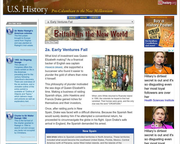
Several Englishmen sailed to the New World to establish settlements for England. Read about Sir Humphrey Gilbert's fate, and the mystery of Roanoke. Follow Sir Francis Drake on the map as he circumnavigated the globe.
National Humanities Center
National Humanities Center: Toolbox Library: Pacific Coast, American Beginnings: 1492 1690
Primary resources for U.S. history and literature offer two excerpts from the explorations of the Pacific coast by Sir Francis Drake and Vitus Bering as well as maps drawn to reflect those journeys. Includes questions for discussion.
Curated OER
Etc: Maps Etc: Jefferys' Sketch of New Albion, 1753
A facsimile of a sketch map from Jeffery (1753) showing the explorations of Sir Francis Drake along the California coast. The map is keyed to show the locations of: (1) C. das Navadas, or Snowy Cape; (2) Punta de los Reys; (3) Les...
Curated OER
Etc: Maps Etc: Hondius's Map of Drake's Route, 1628
A facsimile of a sketch map by Jodocus Hondius (1628) showing the explorations of Sir Francis Drake along the California coast. The map is keyed to show the locations of: (1) Nova, Albion; (2) Hic prae ingenti frigore in Austrum reverti...
Curated OER
Educational Technology Clearinghouse: Maps Etc: Dudley's Carta Prima, 1646
A facsimile of a sketch map by Robert Dudley published in 1646 showing the explorations of Sir Francis Drake along the California coast. The map shows the area from latitude 40 degrees to 36 degrees, and is keyed to show anchorages and...
Curated OER
Educational Technology Clearinghouse: Maps Etc: Nova Albion, 1646
A facsimile of a map by Robert Dudley published in Arcano del Mare (1646) showing the explorations of Sir Francis Drake along the California coast.
Curated OER
Educational Technology Clearinghouse: Maps Etc: Virginia, 1577
A facsimile of an early map (1651) showing the discoveries of Sir Francis Drake in North America, including the coastline of Ould Virginia and Maryland, the Bay of Checepiake (Chesapeake Bay), Lord Delaware Bay, Cape Hatteras and Cape...
Curated OER
An Aleut in His Baidarka, Ca. 1744
Two excerpts from the explorations of the Pacific coast by Sir Francis Drake and Vitus Bering as well as maps drawn to reflect those journeys.


