Curated OER
Social Studies and Children's Literature
Young scholars write a journal in response to literature. The story that is read is about prairies. The subject of prairies becomes an object for research. The culminating activity is the making of a map where prairies exist in the...
Curated OER
Lesson 2: Mapping With Words
Students demonstrate an understanding of the personal relationship that Wabanaki peoples had with the land by analyzing selected Wabanaki place names. They practice map-reading and map-making skills.
Curated OER
Learning to Use Map Legends
Fifth graders comprehend the purpose of and use map legends. They identify and use symbols and lines from legends on a general-purpose map and four topical maps to completely and accurately answer eight questions on a geography worksheet.
Curated OER
The Hatfield and McCoy Feud
Fourth graders investigate the Hatfield and McCoy feud. In this Hatfield and McCoy feud lesson, 4th graders examine factors that caused the feud. Students also locate on a map where the feud took place, make a timeline of the main events...
Curated OER
Australian Aboriginal Art And Storytelling
Students explore Aboriginal storytelling traditions through the spoken word and through visual culture. They listen to stories of the Dreamtime told by the Aboriginal people and investigate Aboriginal storytelling in contemporary dot...
Roy Rosenzweig Center for History and New Media
Continental Differences
Middle schoolers break into groups and closely investigate primary sources associated with the seven different continents. After deciding which continent their primary sources relate to, representatives from each group present their...
US Apple Association
Apples: A Class Act! (Grades 4–6)
Middle schoolers have a bushel of fun as they engage in activities and research core facts about apples. Packed with suggestions for in-class activities and out-of-class research, the colorful 6-page packet is sure to satisfy hungry...
Curated OER
Pennsylvania Colony
Students research the main reasons for the colonists moving to the Pennsylvania colony. They analyze maps, label a bubble map, list similarities/differences of immigrants then and now, and create a colonial newspaper advertisement.
Curated OER
Thirteen Original Colonies
Students use maps, the Internet, graphic organizers and discussion to explore the history of the Middle American Colonies. They consider how the colonies were founded and the ideas of religious freedom and self-government they embodied.
Curated OER
Map Making
Students draw continents and oceans on a handmade globe and transfer their globe onto a flat map. For this maps lesson plan, students use paper and a tennis ball to make their globes.
Curated OER
On the Road Again
Students examine migration patterns in Africa and China. They watch excerpts from a documentary, define key vocabulary words, complete various student organizers, and create a poster.
Curated OER
Thematic Unit: Beginning Holocaust Studies
Fifth graders discuss concepts of diversity, culture, and prejudice, gain understanding of harm caused by prejudice, and demonstrate ability to think critically and a desire to act morally.
Curated OER
Winter Holidays Around the World
How much do you know about the holidays around the world? Second graders put their knowledge to the test with a 14-day lesson plan about global celebrations. They read informational text, employ KWL charts, and compare and contrast the...
Curated OER
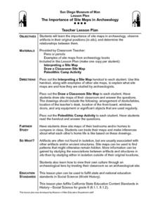
The Importance of Site Maps in Archaeology
Students consider the importance of site maps in archeology. They interpret site maps, draw site maps of their classroom and home and then participate in simulated Paleolithic archeological camp activity.
Curated OER
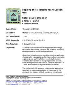
Hotel Development on a Greek Island
Students investigate various locations on Greek Island of Santorini, and create hotel development to encourage tourism on island. They consider importance of balancing economic development with historic site preservation.
Curated OER
South Carolina Voices: Lessons from the Holocaust
Learners examine the location of the Holocaust. For this mapping lesson, students analyze two maps identifying the area in which the Holocaust took place. Learners familiarize themselves with the symbols used during this time period and...


