Curated OER
The Physical World: Continents and Oceans
In this world map activity, study the map of the continents and oceans. Students label each of the 12 sections of the world map.
Curated OER
Southwest Bus Ride
In this geography skills practice worksheet, students take a trip through the southwestern United States as they examine maps, information cards, and respond to 12 questions.
Curated OER
The Spanish Armada
In this Spanish Armada study guide worksheet, students discover the background and significant details of this event in world history. Students read 7 sections of information and examine photographs and maps.
Curated OER
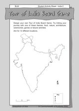
Tour of India Board Game
In this India board game activity worksheet, students use the outline map of India to create their own board games that feature the culture and locations of the country.
Curated OER
Focus on Russia; From Communism to Capitalism
In this Russian history worksheet, students respond to 12 short answer questions about Communism and Capitalism. Students also use the provided maps of the Russia and the U.S.S.R. to help them answer the questions.
Curated OER
Causes of World War II
In this World War II worksheet, learners view a PowerPoint presentation on the war and then respond to 82 short answer questions about the content of the presentation. The PowerPoint presentation is not included with this worksheet.
Curated OER
Urban Geo Worksheet
In this urban geography worksheet, students respond to 20 short answer questions about urban geography after they have read a related article. The article is not included.
Curated OER
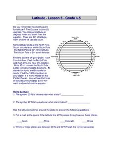
Latitude
In this latitude worksheet, students answer questions about latitude that include absolute locations of countries and coordinates. Students complete 12 questions.
Curated OER
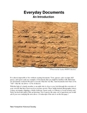
Everyday Documents
Almost more of a lesson than a worksheet, this particular resource has learners examine different types of historical documents. There is a historical docment embedded in the worksheet that learners study, and they also bring in...
Curated OER
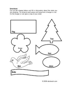
State Information
In these research worksheets, students will discover facts about one of the fifty United States. They are asked to research seven facts about their state including the state bird, state motto, and state flower. Students then create a...
Curated OER
State Nicknames Quiz
In this online interactive geography quiz worksheet, students examine the chart that includes the names of 49 states. Students identify the nicknames of the states in 6 minutes.
Curated OER
USA National Parks Quiz
In this online interactive geography quiz worksheet, learners examine the chart that includes 58 state names. Students identify the names of the national parks in the listed states in 5 minutes.
Curated OER
Suburbs Quiz
In this online interactive geography quiz worksheet, students examine the chart that includes details about 18 major world suburbs. Students identify the names of the suburbs in 3 minutes.
Curated OER
Countries w/ Biggest Armies Quiz
In this online interactive military quiz worksheet, students examine the chart that includes details about the number of troops in 20 countries. Students identify the names of the countries in 4 minutes.
Curated OER
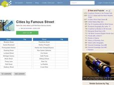
Famous Streets Quiz
For this online interactive geography quiz worksheet, learners examine the chart that includes the names of 18 famous streets in the world. Students have 4 minutes to identify the names of the cities where the streets are found.
Curated OER
Biggest Cities in Canada Quiz
In this online interactive geography quiz worksheet, students examine the chart that includes the population of 20 Candian cities. Students identify the names of the largest cities in Canada in 4 minutes.
Curated OER
Highest Mountain Countries Quiz
In this online interactive geography quiz worksheet, students examine the chart that includes the elevations of 20 world mountains. Students identify the names of the mountains in 4 minutes.
Curated OER
Biggest Cities in Each State Quiz
In this online interactive geography quiz activity, students examine the chart that includes the names of 50 U.S. states. Students identify the names of the two largest cities in each state in 8 minutes.
Curated OER
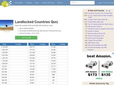
Landlocked Countries Quiz
In this online interactive geography quiz worksheet, students examine the chart that includes details about the population in 44 landlocked countries. Students identify the names of the countries in 5 minutes.
Curated OER
Famous Lakes Quiz
In this online interactive geography quiz worksheet, students examine the chart that includes details about 15 famous world lakes. Students identify the names of the lakes in 3 minutes.
Curated OER
Regions of Countries Quiz
In this online interactive geography quiz worksheet, students examine the chart that includes details about 20 world regions. Students identify the names of the countries where the regions are located in 4 minutes.
Curated OER
Country Flags Quiz
In this online interactive country flag quiz worksheet, students examine the 20 pictured country flags and try to name all of the countries represented in 4 minutes.
Curated OER
World's Biggest Lakes Quiz
In this online interactive geography quiz worksheet, students examine the chart that includes the area of 20 of the world's largest lakes. Students identify the names of the lakes in 4 minutes.
Curated OER
Biggest Cities in India Quiz
For this online interactive geography quiz worksheet, students examine the chart that includes the population of 20 Indian cities. Students identify the names of the largest cities in India in 4 minutes.


