Curated OER
Map Work: Using the Index and Grid References
In this maps worksheet, students use the Oxford First Atlas to answer 20 questions about cities in Great Britain. Students will need to use the index and grid references to locate cities or countries.
Curated OER
Blank Map: The United States of America
In this map worksheet, students use the blank outline map of the United States to label the 50 states or for any other study purpose. Each state boundary is shown with no name labels.
Curated OER
Middle East Geography Worksheet
In this geography skills worksheet, students examine the provided map of the Middle East, identify the noted countries, and write facts about each of the countries.
Curated OER
Japan's Geography Worksheet
In this geography skills worksheet, students label a map of Japan and then respond to 8 short answer questions about the country.
Curated OER
North Africa & Southwest Asia Map Quiz
In this geography skills instructional activity, students examine the blank outline map of North Africa and Southwest Asia. Students label the countries located in the region.
Curated OER
Europe Map
In this world geography activity, students study the map of Europe and locate the 48 countries within the continent. Students write the names on the provided lines.
Curated OER
The Treaty of Versailles: An Outside Perspective
In this World War I worksheet, high schoolers read an article about the Treaty of Versailles and examine 2 maps. Students then respond to 8 short answer questions based on the information.
Curated OER
Earth's Features
In this geography worksheet, students label a map of the world with the Arctic Circle, Tropic of Capricorn, Tropic of Cancer, Equator, North Pole, South Pole, and the Antarctic Circle.
Curated OER
Globe Lesson 9 - Around the World - Grade 6+
In this geography skills worksheet, learners read 5-travel scenarios and use their problem solving skills to respond to 9 short answer questions.
Curated OER
10 Biggest Islands Map Quiz
In this online interactive geography quiz worksheet, students respond to 10 identification questions regarding the biggest islands in the world.
Curated OER
Jordan's Neighborhood: Using a Compass Rose
A neighborhood map is a great way to practice compass rose and key skills! Use these 2 worksheets to introduce these concepts through reading and comprehension activities. First, students look at 3 compasses, circling their favorite and...
Curated OER
Revolution! The Atlantic World Reborn
This resource is rich with primary and secondary source material regarding major events in the Atlantic world during the Age of Revolution. While there are suggested classroom activities toward the beginning of the resource, its true...
Curated OER
Early Greeks-Unit Test
In this social studies activity, 7th graders focus on Early Greeks. Students respond to a total of 30 matching, multiple choice, and fill in the blank questions.
Curated OER
States/Capitals L-N: Matching
In this geography practice worksheet, students match the 17 listed states to the appropriate 17 listed capital cities located in the United States.
Texas State Energy Conservation Office
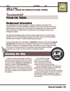
Investigation: Tour de Texas
Teams of Texas tourists gather into groups to analyze what they can do with $50 worth of an alternative fuel. They write checks, keep a balance sheet, and map out their sight-seeing route taking into consideration the location of...
Curated OER
United States Map: March 31
In this calendar dates worksheet, students learn that March 31st was the day the first map of the United States was published. Students then create a map of either their classroom or school.
Curated OER
U.S. Geography for Children: Michigan
In this Michigan map activities activity, students observe an outline map of the state of Michigan, locate and label specific places and areas, and create a map key. Students complete 5 activities.
Curated OER
U.S. Geography for Children
In this U.S. map activity worksheet, students observe maps of the continental United States, Hawaii, and Alaska, locate and label landforms and bodies of water, and create symbols for natural resources and places of interest. Students...
Curated OER
Canadian Provinces Quiz
In this online interactive geography quiz activity, students examine the map that includes 13 Canadian provinces. Students identify the names of the provinces in 3 minutes.
Curated OER
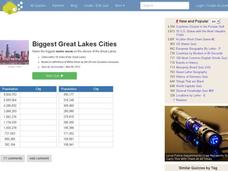
Great Lakes Cities Quiz
In this online interactive geography worksheet, students examine a map of the Great Lakes region and identify the 20 noted cities on the map using a pull down menu within 4 minutes.
Curated OER
Do You Know Your 50 States?
Learners use the names and abbreviations of the 50 states to label a blank map of the United States.
Curated OER
Lewis & Clark: The Louisiana Purchase
In this facts about the Louisiana Purchase and the Lewis and Clark expedition online interactive worksheet, students read information and observe a map of the Louisiana Purchase to answer questions showing their comprehension skills....
Curated OER
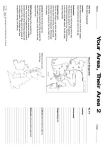
Your Area, Their Area
In this Your Area, Their Area activity, students locate and identify an area on a map, then write short answers to factors about it. They then create a poster with materials provided.
Curated OER
Family Life in a Village in Bangladesh
In this Bangladesh worksheet, students read about the lives of men and women and the weather in Bangladesh. They then take that information to create a poster. Maps are also provided.


