Curated OER
Middle East Quiz
In this geography skills quiz learning exercise, students take 1 of the 3 provided outline map quizzes on the 23 Middle Eastern countries. Three separate quizzes are offered.
Curated OER
Where Is Japan? What Direction Is It?
First graders locate countries on maps and globes and learn about the hemispheres and the cardinal directions. They listen to books read out loud and dicuss geography.
Curated OER
Direction March
Students participate in a game that explores map reading skills and intermediate directions. The teacher turns over a direction card for each player or team and announces the move, and they move towards a designated cardinal or...
Curated OER
Antarctica Map
In this Antarctica worksheet, students study a very detailed map of this continent. Important features on this map are labeled.
Curated OER
Idaho State Map
In this Idaho state map learning exercise, students color and label important physical features and cities. Students also study the background map to learn the location of Idaho as related to the rest of the U.S.
Curated OER
Massachusetts State Map
In this Massachusetts worksheet, students will study a map of the state. Students will use this map to label and/or familiarize themselves with various aspects of the state.
Curated OER
Pennsylvania State Map
In this geography of Pennsylvania worksheet, students color and label a map of the state. Students also study the location of Pennsylvania on a grey background map of the entire 50 states.
Curated OER
Utah State Map
In this geography of Utah learning exercise, students color and label a map of the state of Utah. Students also study a second map that shows the location of this state in the U.S.
Curated OER
Tennessee State Map
In this Tennessee state geography worksheet, students color and label major cities and physical features on the map. Students also study a second map of the U.S. that shows the location of the state of Tennessee.
Curated OER
Virginia State Map
For this geography of Virginia worksheet, students color the map and label major cities and physical features. Students also study a second map showing the location of the state of Virginia in the United States.
Curated OER
Delaware State Map
In this geography of Delaware learning exercise, students color the map and label major cities and physical features. Students also study a second map showing the location of the state of Delaware in the United States.
Curated OER
California State Map
In this geography of California worksheet, students color the map and label major cities and physical features. Students also study a second map showing the location of the state of California in the United States.
Curated OER
Georgia State Map
In this geography of Georgia worksheet, students color the map and label major cities and physical features. Students also study a second map showing the location of the state of Georgia in the United States.
Curated OER
Florida State Map
In this geography of Florida activity, learners color the map and label major cities and physical features. Students also study a second map showing the location of the state of Florida in the United States.
Curated OER
Going, Going, Ghost
Third graders research ghost towns. In this geography lesson plan, 3rd graders locate ghost towns on a map and choose one location to research. Students construct a research paper and present it to the class.
Curated OER
Geography - Mapping the Holocaust
Eighth graders map the important locations of the Holocaust. In this Holocaust lesson, 8th graders research the location of countries involved in the Holocaust as well as the location of concentration camps. Students mark the locations...
Curated OER
Physical and Human Geography Review Worksheet and Study Guide
In this geography skills activity, students respond to 30 short answer questions pertaining to physical and human geography.
Curated OER
Trailblazers - Now and Then
Students, working in pairs, use maps to determine the most efficient routes between two cities. They research which route would have been used by early trailblazers. They present a first person account of one of the trailblazers place in...
Curated OER
U.S. History: What Happened Here?
Students apply the global positioning system to create maps of local historical sites. By collaborating with local historical groups, they research events and relate them to broader, national history. In addition to writing essays...
Curated OER
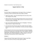
Regional identities in Italy
In this Italy map activity worksheet, learners complete 2 map activities that require them to identify major cities and landforms in the country.
Curated OER
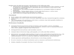
Cemetery Mapping Lesson
Eighth graders explore historical records. In this cemetery mapping lesson, 8th graders analyze local community data as they examine gravestones and read epitaphs.
Curated OER
Thinking Critically about Geography
For this map reading worksheet, students answer 2 critical thinking questions about a map shown. Page has links to additional resources.
Curated OER
Native American Homelands
Students discuss the Navajo, Sioux, and Iroquois tribes, noting their distinctive characteristics. They trace the homeland of each of the tribes on maps and create map keys. Students explain how they developed their map keys.
Curated OER
Latitude on World Maps - World Map Activity 2
Learners explore the concept of latitude. In this geography lesson, students discover the global grid system and complete a map activity which require them to record the latitude of various cities in the world.


