Nature Conservancy
The Nature Conservancy: From America's Rainforest to America's Desert
On this virtual field trip, teachers will help their young scholars travel to the lush, rain-soaked splendor of the Olympic Peninsula and explore the urban watershed of Seattle. Next, they will head to Arizona's dry, desert landscape and...
TeachEngineering
Teach Engineering: All About Water!
Students learn about the differences between types of water (surface and ground), as well as the differences between streams, rivers and lakes. Then, they learn about dissolved organic matter (DOM), and the role it plays in identifying...
PBS
Pbs: New Perspectives on the West
This in-depth resource presents a history of the American West from pre-Columbian times until World War I with profiles, documents, and images. It encourages visitors to link these into patterns of historical meaning for themselves....
University of Toronto (Canada)
Selected Poetry of E. Pauline Johnson (1861 1913)
Read Pauline Johnsons poems: "Brier: Good Friday," "Flint and Feather," "The Pilot of the Plains," "Shadow River: Muskoka," and "The Song My Paddle Sings." Each poem includes copyright information, the source of the original text,...
University of Chicago
Ancient Mesopotamia: Warfare and Empire [Pdf]
In this instructional activity learners discuss how the changing natural environment can become a source of conflict between some groups within a society. Discuss with students how using the rivers for irrigation caused conflict between...
North Carolina Department of Environmental Quality
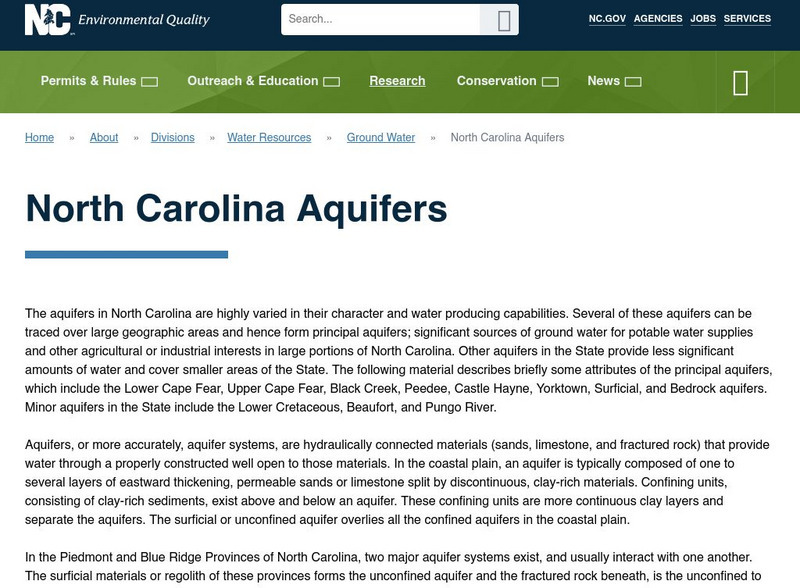
Nc Division of Water Resources: North Carolina Aquifers
The aquifers in North Carolina are highly varied in their character and water producing capabilities. Several of these aquifers can be traced over large geographic areas and hence form principal aquifers; significant sources of ground...
Alabama Learning Exchange
Alex: The Tennessee Valley Authority and Marshall County
Learners will create computer models based both on contemporary maps and primary sources to explore the role of the Tennessee Valley Authority's hydroelectric projects in altering more than 75 miles of the natural landscape and in...
University of Massachusetts
University of Massachusetts: King Phillip's War
This site contains a very brief description of King Phillip's War; however; it also provides some background on Metacom as well as several pictures and drawings related to the War.
Other
News in Science: Evidence of Water Flows on Mars
From ABC News in Science, Irene Klotz's article examines a network of canyons and riverbeds on Mars's surface which, according to scientists, may have been home to certain "microbial life."
Read Works
Read Works: The British Empire Doctor David Livingstone
[Free Registration/Login Required] An informational text British missionary and explorer Doctor David Livingstone. A question sheet is available to help students build skills in reading comprehension.
NSTATE
The Geography of Texas
Here you will find a variety of facts about the geography of the state of Texas. Find out the geographic center, total area, climate and much more.
Other
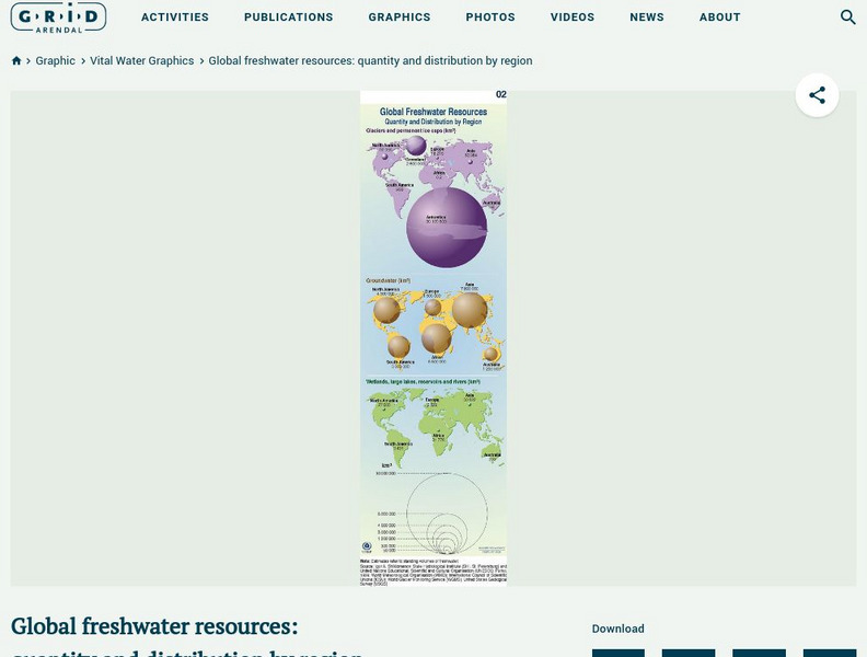
Grid Adrenal: Global Freshwater Resources: Quantity and Distribution by Region
Glaciers and icecaps contain approximately 70% of the world's freshwater, but groundwater is by far the most abundant and readily available source of freshwater. This graphic illustrates the quantity (in cubic kilometres) and...
US Geological Survey
Usgs: How Much Water Is There on (And In) the Earth?
The USGS gives an overview of the amount of water on Earth and where it is located. It gives a few interesting facts about the Earth's supply of water. Click Home to access the site in Spanish.
Curated OER
Educational Technology Clearinghouse: Maps Etc: North America, 1899
A study map from 1899 using North America to illustrate various geographic terms commonly found on maps. The map shows examples of continent, river valley, peninsula, strait, bay, political boundary, lakes, island, ocean, cape, sound,...
Curated OER
Educational Technology Clearinghouse: Maps Etc: Northeast China, 1971
"Northeast China - the provinces of Heilungkiang, Kirin, and Liaoning - is the most important region of the country and a nationally significant and still-developing center of agricultural production. Most of the Northeast remained...
Curated OER
Educational Technology Clearinghouse: Maps Etc: New Hampshire, 1903
A map from 1903 of New Hampshire showing the capital of Concord, counties and county seats, principal cities and towns, railroads, rivers, and mountain ranges. "New Hampshire, one of the New England States of the American Union, lies...
Curated OER
Etc: Routes of Lewis and Clark, 1804 1805
A map of western North America showing the routes of exploration by Meriwether Lewis and William Clark (1803-1806), and Zebulon Pike (1806-1807). The map shows the newly purchased Louisiana Territory, the Indian Territory east of the...
Curated OER
Educational Technology Clearinghouse: Maps Etc: Nile, 1903
This is a highly detailed map of the Nile River basin from the Tropic of Cancer south to the river's source at Victoria Nyanza (Lake Victoria). This map shows both the Blue Nile and White Nile river systems in 1903. Major cities, trade...
Curated OER
Educational Technology Clearinghouse: Maps Etc: California, 1904
A map of California from 1904 showing the State capital of Sacramento, major cities and towns, railroads, mountain systems, lakes, rivers, and coastal features. "California, first settlement made in 1769 by the Spaniards. Gold was...
Curated OER
Portrait: Cavelier De La Salle
Rene Robert Cavelier, Sieur de La Salle (1643 - 1687) was a French explorer. He explored the Great Lakes region of the United States and Canada, the Mississippi River, and the Gulf of Mexico. La Salle claimed the entire Mississippi basin...
Curated OER
Science Kids: Science Images: Water Pollution
This image helps highlight the problem of water pollution that can effect various rivers, lakes and other sources of water.


![Ancient Mesopotamia: Warfare and Empire [Pdf] Lesson Plan Ancient Mesopotamia: Warfare and Empire [Pdf] Lesson Plan](https://d15y2dacu3jp90.cloudfront.net/images/attachment_defaults/resource/large/FPO-knovation.png)


