Other
River Systems of the World
Find statistics about the many river systems of the world. Includes facts such as length, drainage area, cities, notable tributaries, and more. Also provides links to sites about some of the rivers.
Curated OER
Cnn: Tsunami Death Toll Tops 56,000
December, 2004 article tracing the destruction caused by the Asian tsunami. Find photos, videos, interactive media, and more.
BBC
Bbc: Country Profile: Pakistan
Thorough look into demographic information, leadership, culture and more about Pakistan. Find pictures, audio, statistics, and more.
BBC
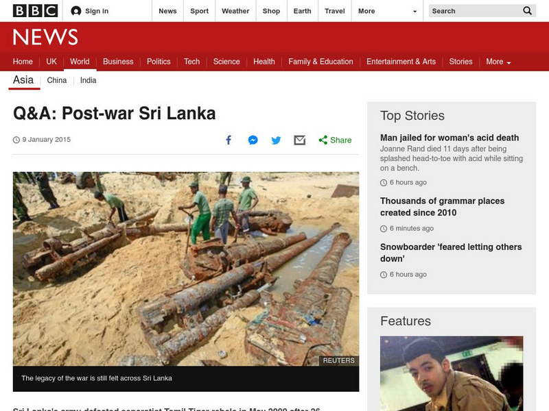
Bbc: Post War Sri Lanka
This article discusses conflict in Sri Lanka between the Tamil "Tigers," and the national government. The major issues of the conflict are clearly explained. (13 November 2012)
BBC
Bbc: News: Timeline: Afghanistan
This timeline shows a very brief history of Afghanistan from 1919 to 2006 including a look at the current war there. There are a few links to more in-depth coverage of some of the key events.
BBC
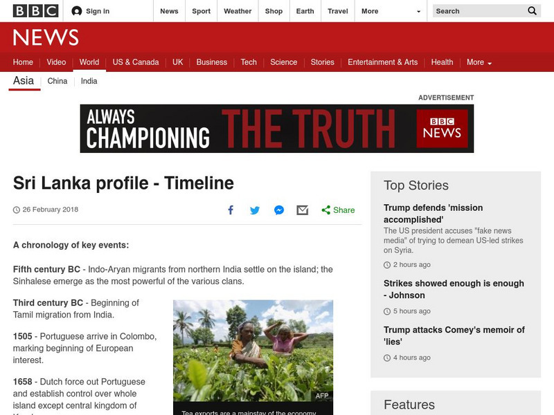
Bbc: News: Timeline: Sri Lanka
A timeline covering Sri Lanka from the the 5th century BC to the present with special attention given to Sri Lankan civil war
BBC
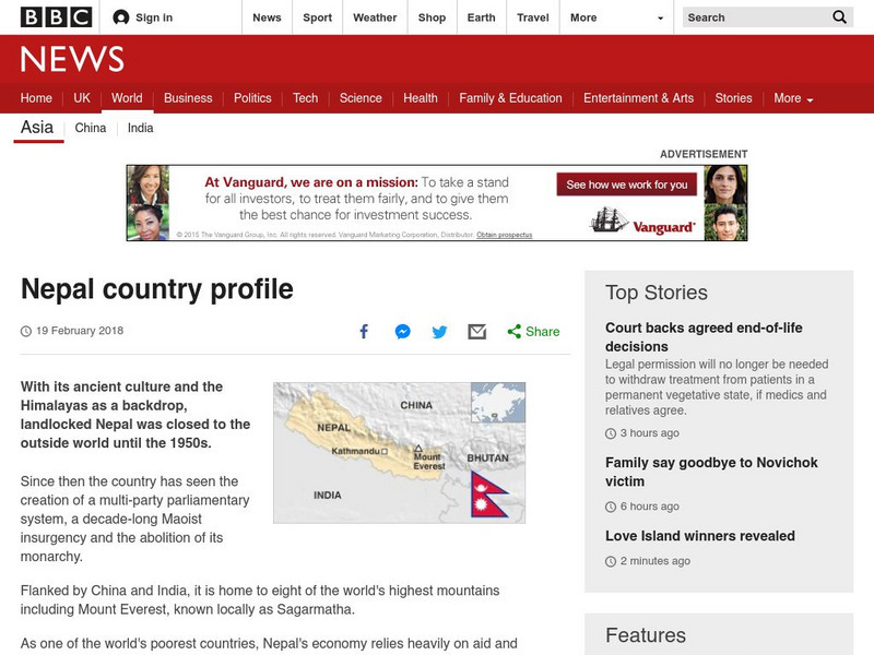
Bbc: News: Country Profile: Nepal
A national profile of Nepal providing a short summary of the nation's economic, political, and social conditions since the early 1990s, in addition to a list of significant facts and links to related subjects.
BBC
Bbc: News: Country Profile: Bangladesh
Provides an overview and some basic facts about the Asian country of Bangladesh. Also discussed is the current leader and its media market.
BBC
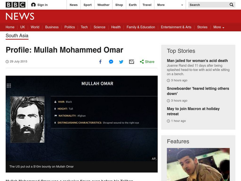
Bbc: Profile: Mullah Mohammed Omar
Profile of Mullah Mohammed Omar, one of Osama Bin Laden's main supporters in Afghanistan. (updated May 2011)
Curated OER
Unesco: Sri Lanka: Old Town of Galle and Its Fortifications
Founded in the 16th century by the Portuguese, Galle reached the height of its development in the 18th century, before the arrival of the British. It is the best example of a fortified city built by Europeans in South and South-East...
Curated OER
Etc: Greece and War With Persia, 499 479 Bc
A map of Greece and Asia Minor at the time of the wars with Persia (Greco-Persian Wars, 499-479 BC). The map is color-coded to show the extent of the Ionian Revolt (499-493 BC) from Macedonia along the coast of Asia Minor to the island...
Curated OER
Etc: Maps Etc: Babylonia Before the Semitic (Chaldaean) Conquest, About 4000 Bc
A map of Babylonia, in current Iraq, before the Semitic (Chaldaean) Conquest, about 4000 B.C. This map shows the early territories of Makan and Melucha between the rivers Tigris and Euphrates, with the Makan capital Ur inhabited by the...
Curated OER
Etc: Maps Etc: Ethnolinguistic Groups of China, 1971
" Ethnolinguistic Groups - Almost all inhabitants of mainland China are of Mongoloid stock, and ethnic distinctions in the country are largely linguistic rather than racial. The Han comprise nearly 95 percent of the population; the...
Curated OER
Unesco: Japan: Iwami Ginzan Silver Mine and Its Cultural Landscape
The Iwami Ginzan Silver Mine in the south-west of Honshu Island is a cluster of mountains, rising to 600 m and interspersed by deep river valleys featuring the archaeological remains of large-scale mines, smelting and refining sites and...
Curated OER
Carver, Jonathan 1781, New Map of North America
"The David Rumsey Historical Map Collection focuses on rare 18th and 19th century North and South America cartographic history materials. Historic maps of the World, Europe, Asia and Africa are also represented. The collection categories...
Curated OER
Educational Technology Clearinghouse: Maps Etc: Arabia, 700 Bc
A map of Arabia and adjacent countries around 700 BC to "Illustrate the historic era at the beginning of records.". This map shows regions of fertile lands, sandy deserts, steppe deserts, and mountain ridges. The Tigris, Euphrates, and...
Curated OER
Educational Technology Clearinghouse: Maps Etc: Philippine Islands, 1912
A map from 1912 of the Philippine Islands, showing the major islands, cities, coastal features, and surrounding seas. The map shows the railways on Luzon at the time, including the route from Manila to Lingayen in the north, and from...
Curated OER
Unesco: China: Mount Wuyi
Mount Wuyi is the most outstanding area for biodiversity conservation in south-east China and a refuge for a large number of ancient, relict species, many of them endemic to China. The serene beauty of the dramatic gorges of the Nine...
Curated OER
Unesco: Indonesia: Lorentz National Park
Lorentz National Park (2.35 million ha) is the largest protected area in South-East Asia. It is the only protected area in the world to incorporate a continuous, intact transect from snowcap to tropical marine environment, including...
Curated OER
Unesco: Viet Nam: Citadel of the Ho Dynasty
The 14th -century Ho Dynasty citadel, built according to the feng shui principles, testifies to the flowering of neo-Confucianism in late 14th century Viet Nam and its spread to other parts of east Asia. According to these principles it...
Curated OER
Unesco: Thailand: Ban Chiang Archaeological Site
Ban Chiang is considered the most important prehistoric settlement so far discovered in South-East Asia. It marks an important stage in human cultural, social and technological evolution. The site presents the earliest evidence of...
Curated OER
Unesco: Israel: Sites of Human Evolution at Mount Carmel
Situated on the western slopes of the Mount Carmel range, the site includes the caves of Tabun, Jamal, el-Wad and Skhul. Ninety years of archaeological research have revealed a cultural sequence of unparalleled duration, providing an...
Curated OER
Science Kids: Science Images: Mt Aconcagua, Argentina
Mt Aconcagua is the highest mountain in the world outside of Asia. Located in Argentina, South America, it reaches an impressive height of 6962 metres (22841 feet). This photo shows the beautiful mountain peak reaching through the...
ClassFlow
Class Flow: National Geographic Survey
[Free Registration/Login Required] How much do you know about the world around us? Questions provided by National Geographic Survey. http://www.nationalgeographic.com/roper2006/findings.html
Other popular searches
- South Asia Geography
- South East Asia Geography
- Climate South East Asia
- India and South Asia
- South East Asia Map
- South Asia Geography Theme
- Cultures of South Asia
- South Asia Primates
- South Asia Maps
- South Asia Government
- South Asian Religions
- South Asia Economics


