California Polytechnic State University
Australian Geography Unit
At the heart of this resource is a beautifully detailed PowerPoint presentation (provided in PDF form) on the overall physical geography of Australia, basic facts about the country, Aboriginal history, and Australia culture and lifestyle.
Curated OER
Maps that Teach
Students study maps to locate the states and capital on the US map. Students locate continents, major world physical features and historical monuments. Students locate the provinces and territories of Canada.
Curated OER
Regions of South America
Students explore facts about South America in the four lessons of this unit. Booklets are created from the materials produced as the class delves into the topic.
Curated OER
Lesson Plan on Migration
Fourth graders diagram written and oral directions of a Native American, European Viking, Right Whale or Humpback Whale migration route, the student diagram all directions only in the sequence given, with arrows indicating direction of...
Curated OER
Describing A Place - Part I The British Isles
In this describing place worksheet, learners label the cardinal and ordinal directions on a compass rose using the drop-down menus. They complete a matching activity by matching an item from column C with one in A and B. They read an...
Curated OER
Where In the World Am I?
Learners identify their location in the world after studying latitude, longitude, relative location, and absolute location. They use assigned web site to find information to make a flipbook that answers questions about their location in...
Curated OER
Identifying Continents and Oceans
Learners locate and identify the four major oceans and the seven continents on a world map. They use an unlabeled world map and compass rose to describe relative locations of the continents and oceans.
Curated OER
Traveling Through North America
Students identify places and landmarks in North America, specifically Canada and the United States, by using and constructing maps. Six lessons on one page; includes test.
Curated OER
Sports Franchises: The Demographic Dimension
Students examine how U.S. population patterns have changed over time. Using the growth of major league baseball to illustrate these patterns, students create maps, examine regional migration patterns, and make predictions for the future.
Curated OER
Ramadan (Islamic Holiday)
Learners recognize that different groups of people have celebrations unique to them. They identify countries on a map where Islam is a dominant religion. They demonstrate their understanding of fasting and abstinence.
Curated OER
Landforms All Around
Students create a "Landform Dictionary". They develop an overlay map and participate in hands-on activities to identify the key characteristics of landforms. They discuss the plant and animal life of these areas. Handouts for the lessons...
Curated OER
English Vocabulary Skills: AWL Sublist 1 - Exercise 3b
In this online interactive English vocabulary skills worksheet, students answer 10 matching questions which require them to fill in the blanks in 10 sentences. Students may submit their answers to be scored.
Curated OER
Cambodian New Year
Students compare and contrast the New Year celebration in Cambodia to the celebration in the United States. They mathematically determine the amount of beans added to the "mountain" during the three day celebration.
Curated OER
The Lesson: Bio-fuels
Students explore the pros and cons of bio-fuel use. In this environmental stewardship lesson, students visit selected websites to discover what bio-fuels are and the effect they may have on the environment.
Curated OER
Geographic Terms Glossary
For this geography worksheet, students learn 60 common geographic terms. Students read the words that are arranged in alphabetical order along with the meanings. There are no questions to answer; this is a glossary.
Curated OER
Conditions in And Connections To Indonesia
Eleventh graders research an animal and its habitat, the conditions of that habitat and how its connections to the rest of the world are affecting that habitat.
Curated OER
Travel to Mesoamerica
Students research books, watch movies, and look on the internet to find information on ancient America, Mexico, and Central America. In this Mesoamerica lesson plan, students participate in a social studies unit on North America of the...
Curated OER
Columbus' Perception of the New World
pupils investigate readings relating to the voyage of Columbus in 1492 and to make historical connections based on those readings. They form pairs to share insights and answer specific questions, and share information in a final class...
Curated OER
What is Islam? Who Are Muslims?
Ninth graders discover Muslim beliefs. In this Islam lesson, 9th graders identify biases and stereotypes about Muslims. Students then research the cultures and traditions of Muslim nations creating PowerPoint presentations that feature...
Curated OER
Plate Tectonic - Volcanoes Post Lab
Second graders discover volcanoes that occur around the world. They identifying volcano parts.
Curated OER
University of Texas: Map of Southern Asia
This political map shows the countries and capitals of the Middle East and South Asia as well as other countries in Asia.
Other
Asia Society: Policy
A comprehensive storehouse of all types of information on Asia, both current and past: maps and statistics, Asian food, travel guides, photographs, articles, timelines, and more. Asia Source is the work of the Asia Society, a national...
NOAA
Noaa: Cpc: Regional Climate Maps
Provides large colorful maps of climate data about each continent for the current week, month, or previous quarter.
BBC
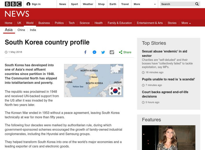
Bbc: News: Country Profile: South Korea
BBC News offers a general overview of the affluent East Asian country of South Korea. Focus is on history, country facts, leaders, and media. Provides links to a timeline of key events and recent news articles.


