Curated OER
Educational Technology Clearinghouse: Clip Art Etc: William Sampson
A United States Navy admiral nown for his victory in the Battle of santiago de Cuba during the Spanish-American War.
Curated OER
Educational Technology Clearinghouse: Clip Art Etc: William Thomas Sampson
William Thomas Sampson (9 February 1840 - 6 May 1902) was a United States Navy admiral known for his victory in the Battle of Santiago de Cuba during the Spanish-American War.
Independence Hall Association
U.s. History: Reactions to a Troubled World
Read about the rising militarism and fascism in Europe and Asia as dictators expanded their territories. See how the United States reacted with its series of three neutrality acts.
Internet History Sourcebooks Project
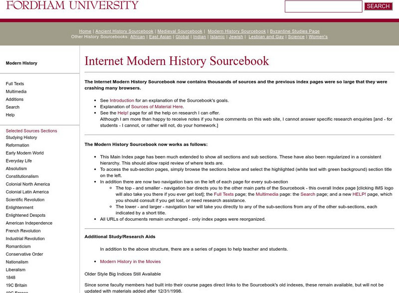
Fordham University: Modern History Sourcebook
A rich Fordham University site of primary source material that include full-text, and multimedia sites. There are additional study and research guides such as Modern History in the Movies.
US Navy
Naval History and Heritage: Survivors of the Uss Maine
List of crewmen who survived the explosion on board the USS Maine.
Arlington Cemetery
Arlington National Cemetery: Rough Riders Memorial
This site from the Arlington National Cemetery provides brief information and two large pictures on the Rough Riders Memorial at the National Cemetery.
Curated OER
Martin Anthony Schuster in 1906 (Feb. 4 1871 Feb. 9, 1952)
A personal account of the experiences of the 6th Missouri Volunteer Infantry, Company A, as seen through the eyes of one man.
Curated OER
Etc: N America Illustrating the Conquest of Canada and War of Indep, 1757 1783
A map of eastern North America illustrating the Conquest of Canada and the War of Independence (1757-1783). The map shows major cities of the time, major river ways, topography and political boundaries. The map is color-coded to show the...
Other
University of Georgia: Georgia History
This site has great links to the history of Georgia. Categories of links include: Prehistoric Period, Spanish Georgia, French Georgia, Georgia as an English Colony, American Revolution to the Civil War, Reconstruction to the 20th...
Curated OER
Wikipedia: National Historic Landmarks in Louisiana: Fort Jesup
Fort Jesup was built in 1822 to help protect the western border between American and Spanish territories. Under the command of future U.S. President Zachary Taylor, soldiers at the fort monitored Texas as it passed from Spanish and...
Curated OER
Etc: Mountain Passes & Overland Routes in the West, 1841 1850
A map of the Pacific region of the United States west of the Rocky Mountains in 1841-1850. The map shows the Old Spanish Trail from Los Angeles to Santa Fe, the Pioneer Route from the Platte River to San Francisco, the routes of Fremont...
Curated OER
Educational Technology Clearinghouse: Maps Etc: North America, 1783
A map of North America, Central America, and northern South America at the end of the American Revolutionary War (1783). The map is color-coded to show the territory of the United States at the time, British possessions in Canada,...
Curated OER
Etc: Maps Etc: British Possessions in North America, 1775
A map showing the British possessions in North America in 1775, before the outbreak of hostilities during the American Revolutionary War. The map shows the boundaries of the British Colonies along the Atlantic, the Proclamation Line of...
Curated OER
Educational Technology Clearinghouse: Maps Etc: Colonial Georgia, 1732 1763
A map of Colonial Georgia, showing the proclamation line of the original United States established at the end of the American Revolutionary War in 1763, the boundary when Georgia was established from the Carolinas as a buffer between the...
Curated OER
Etc: Development of Early Carolina, 1663 1732
A map showing the development of the Carolinas from the land grant of Charles II in 1663 to the establishment of the Province of Georgia by charter in 1732. The map shows the area of Carolina as established by the Patent of 1665...
Curated OER
Etc: Maps Etc: Land Claims of the Thirteen Original States, 1783
A map of eastern North America showing the land claims of the original thirteen states after the American Revolutionary War, from the Atlantic coast to the Mississippi River, as well as the boundaries of the British and Spanish...
Curated OER
Etc: Development of the Northwest Territory in Us, 1790 1810
A map of the American Northwest Territory showing the boundary developments in 1790, 1800, and 1810. The upper left map shows the territory acquired by the United States from Britain after the Revolutionary War as established by the...


