Curated OER
Tiny Tortillas
Students read the rhyme "Tiny Tortillas" and then explain what the poem is about. They create a list of rhyming words from the poem. They compare and contrast the poem "Tiny Tortillas" with the poem "Patty Cake". They clap out the beat...
Curated OER
Geography and Artifacts of Mexico
Students review the structure of government in Mexico and discuss how it is different than the United States. Using artifacts, they must label and identify the city or state in which the artifact originated. They use the artifact clues...
Curated OER
Living Through Fire
Students investigate the poverty found in Haiti. In this current events lesson, students research the noted Web sites to study Haiti's geography, history, and civil war.
Curated OER
Coiling Geography "On the Pampas"
First graders are introduced to the rope coiling form of art used by the gaucho culture of South America. They read "On the Pampas" by Maria Cristina Brusca, view the illustrations of the coiling technique and create original pieces.
Curated OER
Explorers
In this Explorers study guide worksheet, students respond to 3 questions regarding Prince Henry the Navigator, Vasco da Gama, Columbus, Magellan, Cortez, Pizarro, Drake, and Cartier. Answers are included.
Curated OER
Social Studies Quiz B-Grade 4
In this grade 4 social studies quiz worksheet, 4th graders complete a 15 question multiple choice quiz covering a variety of grade 4 concepts.
Curated OER
Chinese, Japanese, and Korean Language Basics
Students in seventh and eighth grade Introduction to Foreign Language class are introduced the basic greetings, farewells, courtesy words, and basic phrases in Mandarin Chinese, Japanese and Korean. In pairs, they create a very short...
Curated OER
Regions of South America
Students explore facts about South America in the four lessons of this unit. Booklets are created from the materials produced as the class delves into the topic.
Curated OER
Castolon Historic District
Students complete a variety of activities that go along with the study of and possible fieldtrip to the Castolon Historic District in Big Bend National Park, TX.
Curated OER
Christmas in Mexico
Students identify how Christmas holidays are celebrated in Mexico, compare Mexican holidays with U.S. holidays, and learn Mexican customs. Lesson includes many downloadable activities to try with students.
Curated OER
Cultural Corner- "Mexico"
Young scholars use print and electronic resources to gather information about Mexico. They present a mini-museum to share with students, parents, and other interested classes around the district. They present their information in a video...
United Nations
United Nations Cyberschoolbus: Pais a Un Vistazo
Country information at-a-glance from the UN's site for children. In Spanish. Select a country to see its location, major cities, population statistics, links to country newspapers, UN mission contact information, and economic, health,...
Other
Spanish Speaking Countries, Nationalities, Capitals
This site provides the user with a list of Spanish Speaking countries, their capitals, their location and the nationalities of those who live there. Excellent resource! Provides a link to a map as well as a link to practice identifying...
University of Oregon
Mapping History Project: Territorial Expansion of the u.s. 1783 1853
Click on the sliding bar and watch how the United States territory grew with the Louisiana Purchase, Florida Acquisitions, Texas Annexation, Oregon Country, and Mexican Cession.
University of Texas at Austin
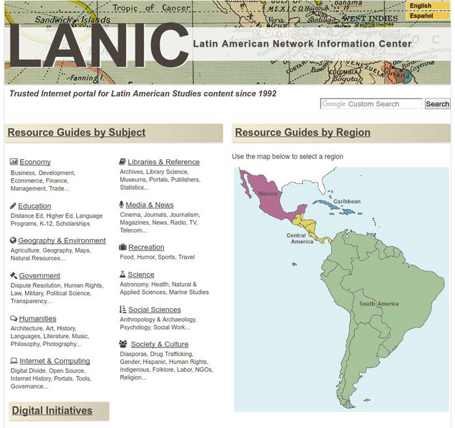
Lanic: Latin American Network Information Center
Vast network of information from and about Latin America is provided. Major topic headings include countries, economy, education, government, humanities, science, social sciences, society and culture, recreation, media and communication,...
Science Struck
Science Struck: List of Latin American Countries With Their Capitals
Presents a map and list of all the Latin American countries, along with their capitals, population, land area, and names of the largest cities. (Note: Puerto Rico is a territory of the United States, not a country on its own.)
Curated OER
Etc: Maps Etc: Political and Physical Africa, 1901
A map from 1901 of the political and physical features of Africa. The map uses color-contouring to show highlands above 2000 feet in buff tints, lowlands in greens, and the submerged part of the continental plateau in light blue. The map...
Nations Online Project
Nations Online: Spain
Presents a virtual destination guide and profile of the European country of Spain, background overview, and numerous links to comprehensive information on the country's culture, history, geography, economy, environment, population, news,...
Lizard Point Quizzes
Lizard Point: Spain: Provinces Quiz
Try this interactive geography quiz which tests your knowledge about the Provinces in the country of Spain.
Other
Beyond the Map: Dividing the World: Treaty of Tordesillas
An interesting look at the Treaty of Tordesillas, how it affected Spanish and Portuguese exploration, and how it was ignored by other countries.
Biblioteca Virtual Miguel de Cervantes
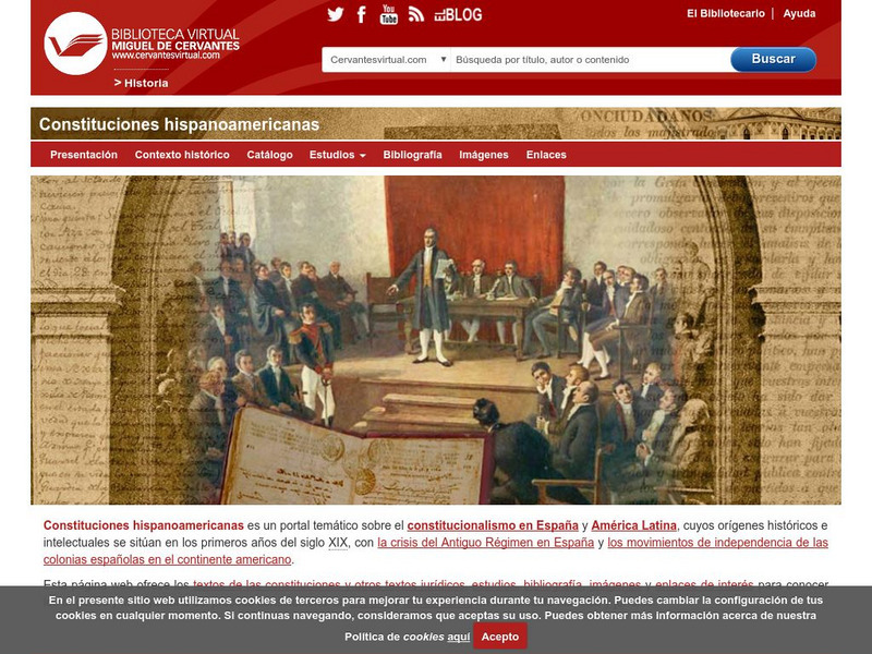
Constituciones Hispanoamericanas
Fascinating comparison of Spanish-speaking countries. Includes the flag and a general map of each country. Statistical data is provided for each country. Constitutional and government information is available for each country.
Houghton Mifflin Harcourt
Holt, Rinehart and Winston: Estados Unidos
Easy-to-read Spanish map of the United States with country information below. A nice site with links to the States and the rest of the world's countries as well!
Other
Embassy of Honduras in Washington, d.c.
This is the official website of the Embassy of Honduras in the United States. Has an abundance of information on tourist destinations and general facts on country-specific topics including art, geography, climate, government, history,...
INTERNET Red 2000
All About Spain: Las Regiones De Espana
This site gives you an interactive map of the 17 autonomous regions of Spain. After clicking on them, you get more information about the different regions. (In Spanish)


