Curated OER
Educational Technology Clearinghouse: Maps Etc: Suez Canal, 1912
This map illustrates the route of the Suez Canal through Egypt and the Sinai Peninsula.
Yale University
Yale Law School: Obligation of Egypt to Comply With the 1951 Resolution
A statement made by the United States Representative to the United Nations, before the Security Council on March 25, 1954, asking the UN to remember their previous resolution (of 1951) which required Egypt to stop provoking Israel by...
American-Israeli Cooperative Enterprise
Jewish Virtual Library: Eisenhower Publicly Threatens Israel With Sanctions
In this speech to the American public on February 20, 1957, Eisenhower explains how the Suez War began and the diplomatic events which took place to try and end it. He also explains what the United States is prepared to do to Israel to...
Library of Congress
Loc: Country Study: India
An extensive site from the Library of Congress that covers all kinds of topics about India. Includes a very detailed history of British India under "Company Rule, 1757-1857," "The British Raj, 1858-1947," and "Sepoy Rebellion, 1857-59."...
University of California
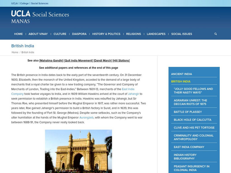
Ucla: Manas: British India
An overview of the British presence in India, 1600-1947, from university professor Vinay Lal. Includes links to related topics, such as the British East India Company, and to biographical details of many key figures from this period in...
Internet History Sourcebooks Project
Fordham University: Modern History Sourcebook: Eisenhower Doctrine on the Middle East
Contains the actual text to the Eisenhower Doctrine on the Middle East, Eisenhower's speech to Congress on January 5, 1957.
Travel Document Systems
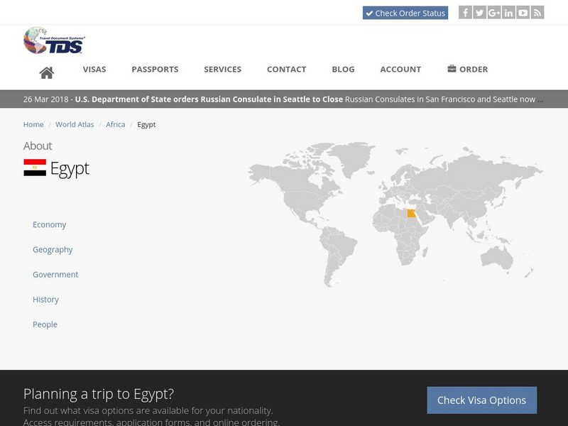
Tds: Egypt: History
Read a concise history of Egypt, covering the times of pre-pharaonic Egypt up to current times. Find out about the pharaohs, Turkish occupation, British control, and Egypt today. Includes brief information on the Muslim Brotherhood in...
First World War
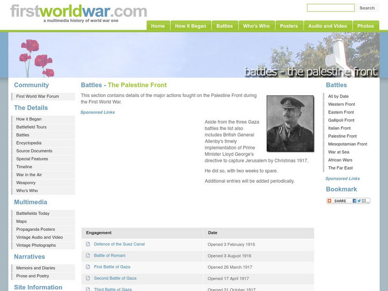
First World War: Battles, the Palestine Front
FirstWorldWar.com offers a table of contents of the battles in World War I that took place on the Palestine Front.
White Pine Pictures
White Pine Pictures: Hungarian Revolution 1956
As part of the film series produced about various groups that resettled in Canada, White Pines Pictures gives a brief historical background of the wave of Hungarian immigration in 1956. Click on the teacher link at the top for lesson...
Michigan State University
Michigan State University: Eisenhower Doctrine 1957
Provides the actual text to the Eisenhower Doctrine, a speech given by President Eisenhower to Congress on the situation in the Middle East.
Independence Hall Association
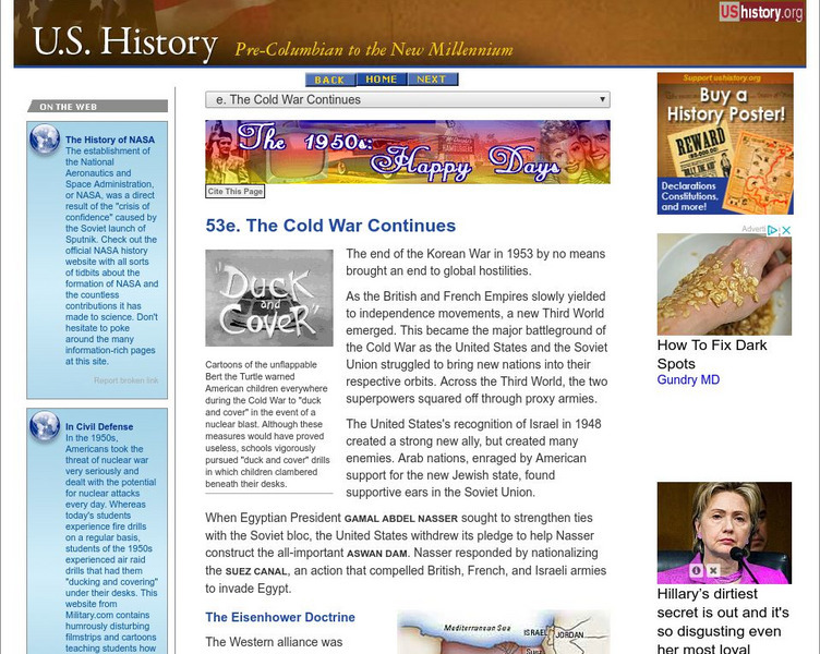
U.s. History:the Cold War Continues
A comprehensive look at U.S. foreign policy during the Eisenhower administration. The Cold War was at its height, and the United States used many tactics to fight and contain the spread of Communism. Be sure to watch the cartoon of Bert...
Travel Document Systems
Tds: Singapore: History
Read how the history of Singapore was intertwined with the British East India Company. Information is from the U.S. State Dept. Background Notes.
Other
West Chester University: Egypt & Europe in the 19th Century
A scholarly article that examines the history of Egypt during the period of imperialism. The author provides a good explanation as to why Egypt fell under the British sphere of influence by the late 19th century.
Open Door Team
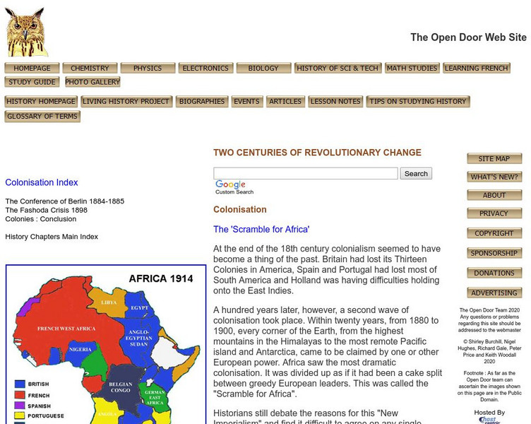
Open Door Web Site: Britain and the Scramble for Africa
Briefly describes Britain's motivations for imperializing African regions. Includes the text of a speech given by Lord Cruzon entitled, "The True Imperialism."
Curated OER
Educational Technology Clearinghouse: Maps Etc: Colonial Africa, 1899
Map of Africa in 1899 showing the colonial possessions of European powers on the continent established at the Berlin Conference of 1885. This map shows major cities and trade centers, railroad routes and canals, major river systems, and...
Curated OER
Etc: Maps Etc: Physical, Political, and Economic Asia, 1872
A map of Asia from 1872, showing physical features including mountain systems, deserts, lakes, rivers with direction of flow, coastal features, and ocean currents, political boundaries and foreign possessions at the time, and commercial...
Curated OER
Educational Technology Clearinghouse: Maps Etc: Pre Colonial Africa, 1885
A map of the African continent prior to the Berlin Conference of 1885, when the most powerful countries in Europe at the time convened to make their territorial claims on Africa and establish their colonial borders at the start of the...
Curated OER
Educational Technology Clearinghouse: Maps Etc: Delta of the Nile, 1916
A map from 1916 of the Nile Delta, showing the water courses of the delta, the Pyramids, Cairo, Alexandria, Rosetta, Damietta, and Port Said and Suez at the openings of the Suez Canal.
Curated OER
Educational Technology Clearinghouse: Maps Etc: Africa, 1919
A map from 1919 of Africa showing the territorial changes made after World War I. The map shows the areas ceded by Germany, including Togo and Kamerun to be decided by British and French mandate, German East Africa under British mandate,...
Curated OER
Educational Technology Clearinghouse: Maps Etc: Colonial Africa, 1903
A political map of Africa, as it was in 1903, showing European land claims after the Berlin Conference in 1885. The lack of natural boundaries, that is, boundaries along rivers, mountains, or native lands, shows the European system of...
Curated OER
Educational Technology Clearinghouse: Maps Etc: Pre Colonial Africa, 1870
A physical and political map of Africa prior to the Berlin Conference of 1885, which established the European colonial territory claims on the continent. This map shows the African states of Morocco, Algiers (Algeria), Tripoli, Egypt,...
Curated OER
Educational Technology Clearinghouse: Maps Etc: Pre Colonial Africa, 1858
Map of Africa in 1858, prior to the extensive European colonization of the continent established at the Berlin Conference of 1885. This map shows the European possessions of the Cape Colony, Natal, and Orange River Free State, and the...
Curated OER
Etc: Maps Etc: Africa Before the Berlin Conference, 1884
This is an interesting map of Africa showing the continent before the Berlin Conference of 1885, when the most powerful countries in Europe at the time convened to make their territorial claims on Africa and establish their colonial...
Curated OER
Etc: Maps Etc: Physical and Political Map of Africa, 1879
Map of pre-colonial Africa, showing the predominately native countries and territories of the African continent in 1879. The counties include the Barbary States of Morocco, Algeria, Tunis, Tripoli and Fezzan, the Egyptian territories of...
Other popular searches
- Impact of Suez Canal
- Suez Canal Crisis
- Suez Canal Cris
- Panama and Suez Canal
- Suez Canal Imperial
- Imperialism Suez Canal
- Suez Canal Crisi


