Curated OER
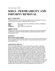
Activity #5 Soils-Permeability and Impurity Removal
Young scholars predict which types of soils would work best for keeping contaminants contained. They comprehend that in the past, landfills have been one major source of groundwater contamination. Pupils comprehend that placing and...
Curated OER
Investigation 1 - Wetlands, Forests & Deserts
Fourth graders examine surface terrain and how plants and animals are affected by the temperatures and precipitation that elevation and terrain creates. Then students predict what type of environment plants and animals live in.
Curated OER
Three Dimensional Geology
Learners use rocks and fossils to interpret the geology of an area. They use prior knowledge and make recommendations about where to build a subdivision based on the rocks.
Curated OER
Mapping the Unknown
Students explain how early maps of the ocean bottom were made. They describe and execute a method for producing a low-resolution map of a surface that cannot be seen or touched. Students analyze the data from a mapping activity and...
Curated OER
Half-Life Lab
Students participate in a lab in which they are introduced to carbon-dating. In groups, they use the holes of paper from a hole puncher and determine the rate of retention after shaking coins onto the same area. They record their...
Curated OER
Earth: the Apple of Our Eye
Young scholars dissect an apple to model the percentage of land on Earth that can be used as a food-producing resource. They use fractions to determine the habitable and agriculture area of the apple.
Curated OER
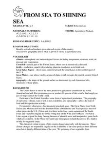
FROM SEA TO SHINING SEA
Identify agricultural products grown in each region of the country.
Discuss how geography affects what is grown or raised in a particular area.1. Hand out a copy of the two activity sheets "Food From Sea to Shining Sea" to each student....
Curated OER
Watershed Analysis
Students conduct a regional watershed analysis of an area of their choosing. Using on-line data and their personal knowledge of the area, they determine the annual hydrologic budget and teach the class about "their" watershed.
Curated OER
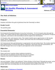
The Path of Pollution
Students follow the path of pollution from the Chernobyl accident. Students name and locate countries where radiation traveled to, describe how air pollution travels from one area to another, and seqence the travel of radiation in...
Curated OER
Sarita Wetland Restoration
Students collaborate on the plannng and implementation of the Sarita Wetland Restoration. The Sarita Wetland is the remnant of former Lake Sarita that was drained in the early 1900's. The goal of the entire project is to improve water...
Curated OER
Locating Patterns of Volcano Distribution
Pupils examine patterns of volcanic distribution worldwide, use tables to plot and label location of each volcano on map, lightly shade areas where volcanoes are found, and complete open-ended worksheet based on their findings.
Curated OER
Wetlands/Watershed Model
Students work together to create a watershed model. They discover the flow of surface water on different topography. They examine how materials originate from miles away and end up in a different wetland.
Curated OER
Let's Have a Lesson Within a Lesson
Pupils role-play the role of a student who does not comprehend the language the lesson is being instructed in. Using the internet, they research the characteristics, distribution and migration of human populations over time. In groups,...
Curated OER
Travelogue of a Planet
High schoolers randomly select a planet, including Earth. They research key features of the planet including mass, volume, density, gravity, temperature, weather, geology, atmosphere, surface features, location from sun, Earth and other...
Curated OER
Colonizing the Stars
Young scholars compare and contrast the size, composition and surface features of the nine planets of our solar system with the possible sizes and compositions of extra -solar planets.
Curated OER
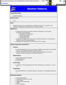
Weather Patterns
High schoolers use yearly averages over a five-year period to understand weather trends for a specific area.
Curated OER
Exploring Our Watershed System
Students examine how watershed systems are made up, and visit the Susquehanna watershed system and map out the system. They evaluate the order of watercourses in their area.
Curated OER
What is a Watershed, Anyway?
Young scholars constrct a watershed and write about their observations. Students use maps to locate their area in relation to the watershed and inquire about what is applied to the ground above.
Curated OER
COLD SEA WATERS
Students examine how old sea waters affected the local and state area during the summer of 1998. Studying a detailed web-site helps students examine sea temperatures.
Curated OER
Water Management in Florida
Students discuss water management. They examine the water management districts in their area. They complete an experiment in which they role-play a water management manager.
Curated OER
Conflict Over Land Use 217
Students examine the land use values of a variety of people in Kenya. They determine how these differences can cause conflict among those who use the same land area. They look at the conflict from different points of view and they...
Curated OER
Trading in a Marketplace
Students complete a trade simulation in a marketplace. In the simulation, they role play the role of producer and consumer of goods and apply the concepts of supply and demand. In groups, they discover how an environment can affect the...
Curated OER
Emphasizing Scale When Creating a Site-Specific Work of Art
Students study art by Matthew Ritchie. Students view pictures of the artist and discuss art that is created specifically for a designated area. Students create pen and ink drawings on letter size paper. Using an overhead, students...
Curated OER
Cool, Clear Water - Or Is It?
Students use a problem solving method to offer a solution to one of the water quality problems within the Kansas Lower Republican River Basin. Groups research a problem area, then produce a skit, poem, song or story to illustrate the...
Other popular searches
- Surface Area and Volume
- Surface Area and Net
- Cylinder Surface Area
- Surface Area of Prisms
- Surface Area Volume
- Surface Area of Cylinders
- Finding Surface Area
- Surface Area Cone
- Surface Area Volume Cylinder
- Surface Area Lesson
- Cylinder Surface Area Nets
- Lateral Surface Area


