Latimer Clarke Corporation
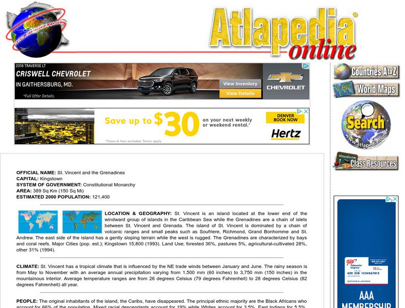
Atlapedia: St. Vincent and the Grenadines
A complete profile of St. Vincent and the Grenadines including highlights on its geography, climate, people, modern history, economy, communications, and military. Click on the maps to enlarge them.
BBC
Bbc: News: Country Profile: St Vincent and the Grenadines
The BBC provides an overview, facts, and information on its leaders and the news media. Links to a timeline of key historical events and an audio of the national anthem.
Wikimedia
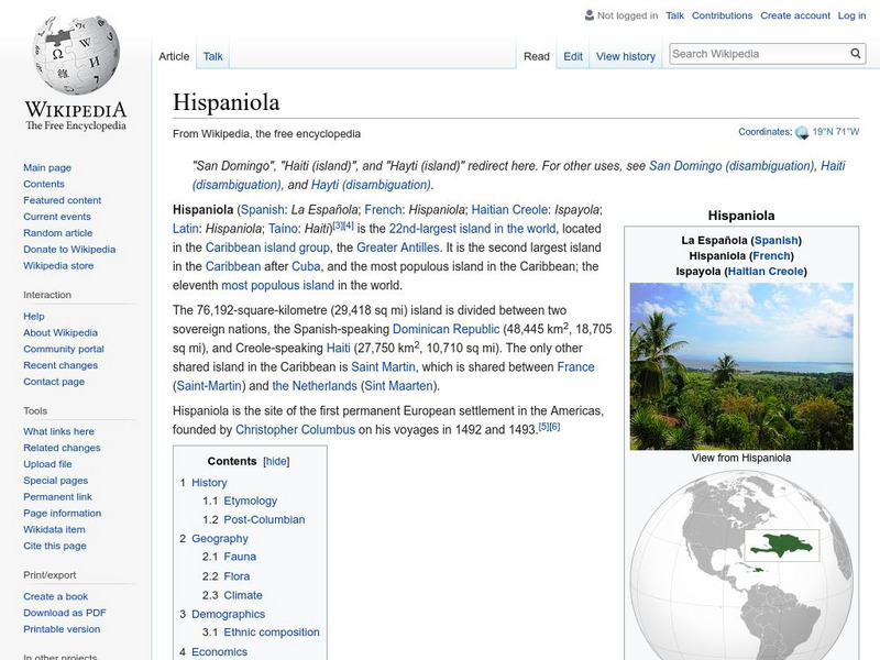
Wikipedia: Hispaniola
Good overview of the history, geography, and ecology of the island of Hispaniola in the Caribbean. It is made up of Haiti and the Dominican Republic.
A&E Television
History.com: Amerigo Vespucci
Amerigo Vespucci was an Italian-born merchant and explorer who took part in early voyages to the New World on behalf of Spain around the late 15th century. By that time, the Vikings had established settlements in present-day North...
InterKnowledge Corp.
Geographia.com: Antigua and Barbuda
"The Official Homepage of the Antigua and Barbuda Department of Tourism". Summarizes details on geography, climate, history, culture, and tourist information.
Curated OER
Educational Technology Clearinghouse: Maps Etc: United States, 1917
A map of the United States and territories showing the expansion from the formation of the original states to the purchase of the Danish West Indies (Virgin Islands) in 1917. The map is color-coded to show the original states, the states...
Curated OER
Etc: Maps Etc: North America and West Indies, 1870
A map of North America, Central America, and the Caribbean to St. Thomas and St. John islands in 1870 showing political boundaries at the time, mountain systems and terrain, rivers, and major cities. The map is color-coded to show the...
Curated OER
Educational Technology Clearinghouse: Maps Etc: North America, 1882
A map from 1882 of North America, Central America, and the Caribbean, showing political boundaries at the time, major cities, mountain systems, lakes, rivers, and coastal features of the region. The map is color-coded to show general...
Curated OER
Etc: Maps Etc: Isthmus With Completed Panama Canal, 1914
A map from 1914 of the completed canal across the Isthmus of Panama. The map shows the Caribbean Sea entrance at Colon, the route of the canal through Gutan Lake and lock system, the Pacific entrance at the city of Panama, the Canal Zone...
Curated OER
Nutmeg02.jpg (17122 Bytes)
Featured is the official online tour guide from Geographia.com of the island of Grenada in the Caribbean. Learn about the geography, history and tourist attractions of these volcanic islands.
Curated OER
Beach.jpg (17555 Bytes)
Featured is the official online tour guide from Geographia.com of the island of Grenada in the Caribbean. Learn about the geography, history and tourist attractions of these volcanic islands.
Curated OER
Educational Technology Clearinghouse: Maps Etc: West Indies, 1910
A relief map from 1910 of the West Indies and Central America showing the land relief of the islands and isthmus, the extent of the submerged Florida, Bahamian, and Yucatan platforms, the basins of the Gulf of Mexico and Caribbean Sea,...
Curated OER
Educational Technology Clearinghouse: Maps Etc: North America, 1901
A map from 1901 of North America, Central America, the Caribbean, and Greenland (Danish America) showing the political boundaries at the time. The map shows capitals and major cities, mountain systems, lakes, rivers, coastal features,...
Curated OER
Educational Technology Clearinghouse: Maps Etc: North America, 1921
A map from 1921 of North America, Central America, Greenland, and the Caribbean showing political borders, capitals and major cities, railroads, canals, mountain systems, lakes, rivers, islands, and coastal features of the region. An...
Curated OER
Educational Technology Clearinghouse: Maps Etc: North America, 1910
A map from 1910 of North America showing the Dominion of Canada, Greenland, the United States, Mexico, Guatemala, British Honduras (Belize), San Salvador (El Salvador), Honduras, Nicaragua, Costa Rica, Panama, and the islands of the...
Curated OER
Etc: Maps Etc: The United States and Neighbors, 1898
A map from 1898 of North America, Central America, Greenland, and the Caribbean to Puerto Rico, subtitled "The United States and its Neighbors in North America." The map is color-coded to show the possessions of Greenland (to Denmark),...
Curated OER
Etc: Maps Etc: Orographical Map of North America, 1911
A map from 1911 of North America, Central America, Greenland, and the Caribbean showing mountain systems (orographical), highlands, plains, and major rivers of the region. The map uses colot-contouring to show general land elevations...
Curated OER
Educational Technology Clearinghouse: Maps Etc: South America, 1921
A map from 1921 of South America showing the political boundaries of the time, major cities, railroads, terrain, rivers, and coastal features, and includes an insert map of the Galapagos Islands. " South America, the fourth largest grand...
Curated OER
Indigenous Ceremonial Centre of Tibes
This site give background on Tibes, one of the most important archaeological sites in Puerto Rico or the Caribbean -- it was home to one of the oldest Taino ceremonial complexes in the islands (includes ancient ball courts). Site has...
Curated OER
Educational Technology Clearinghouse: Clip Art Etc: Abraham Whipple
Abraham Whipple (26 September 1733 - 27 May 1819) was an American revolutionary naval commander. Whipple was born near Providence, Rhode Island and chose to be a seafarer early in his life. He embarked upon a career in the lucrative West...


