Curated OER
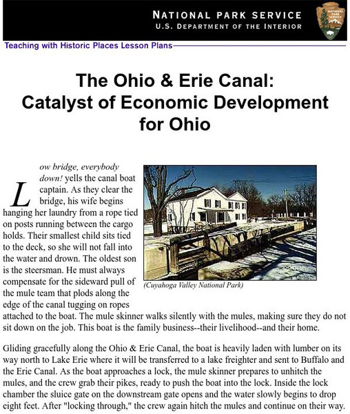
National Park Service: Teaching With Historic Places: The Ohio & Erie Canal
How were the canals used and what were the effects of this transportation system on daily life in the 19th century? This lesson plan incorporates the use of historic sites in the study of Ohio and U.S. history.
Other
The Erie Canal: Low Bridge, Everybody Down [Pdf]
The learning activity examines how the Erie Canal affected New York State's development.
Curated OER
National Park Service: The Ohio & Erie Canal
This site begins with a story to introduce the Ohio & Erie Canal. Following the story is an extensive lesson plan for students to learn about the canal's structure, use, and much more. Included in the instructional activity are links...
Other
New York State Archives: Erie Canal Time Machine
Take a trip back in time to 1825 to learn about the Erie Canal. Resources includes three projects that require students to look at documents and answer questions.
University of Richmond
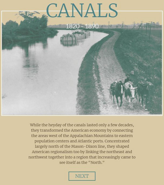
American Panorama: Canals
Excellent resource maps the growth of canals and economic development in the nineteenth-century by presenting data about the commodities and products that moved across the canals and shows the spaces that canals connected.
Other
New York State Canals: Erie Canal Map
This site has a map of the Erie Canal and lets you zoom in on different parts of the Canal to view where the locks are.
Siteseen
Siteseen: American Historama: Erie Canal
Provides details about the Erie Canal that stretched for 363 miles linking the Great Lakes with the Atlantic Ocean.
Other
Berkshire Television: Erie Canal 175 Years
This site contains some brief information on the history of the Erie Canal and the impact it had on the United States. There is also a photo gallery of historic images.
University of Houston
University of Houston: Engines of Our Ingenuity: No. 1420: The Erie Canal
Read about the history of the Erie Canal and the impact it had on the economy in this article, which is a transcript of a radio broadcast.
Other
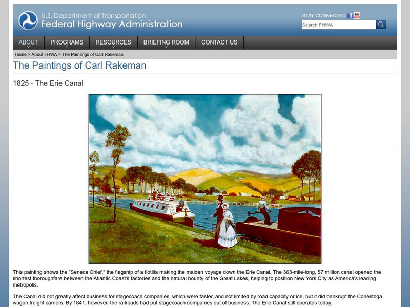
Paintings of Carl Rakeman: 1825 the Erie Canal
This site contains a picture of a painting of the "Seneca Chief" making its maiden voyage on the Erie Canal, followed by a brief paragraph on the Erie Canal.
Ohio History Central
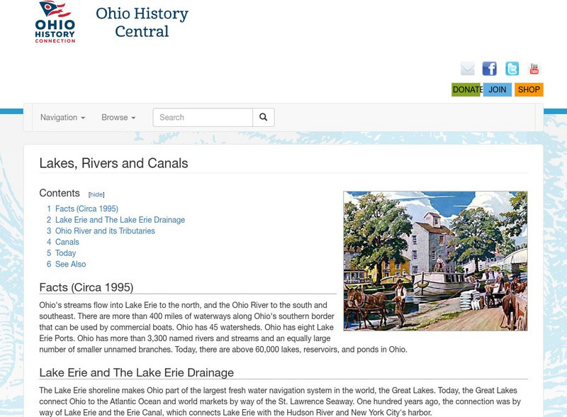
Ohio History Central: Lakes, Rives, & Canals
This site provides a brief introduction to the river system and canals of Ohio. Includes a history of the canal system, details and maps of the drainage throughout the state, and how the river systems are used today.
Independence Hall Association
U.s. History: The Canal Era
See how the building of canals in New York, Pennsylvania, and Ohio not only opened up the west by making travelling easier and joining western territories to northern states, but also transformed cities from small burgs to major...
Other
Cleveland State University: Bibliography of Ohio Canals
Resource offers bibliography of historic and contemporary works on the Ohio & Erie Canal.
Other
Canal Society of Ohio: Ohio's Historic Canals
Site provides information on current remains of all Ohio's historic canals including the Ohio & Erie Canal. Site also provides map of canal system.
Other
Map of New York Canals
Site has great map of the entire canal system of New York. Student can click on regions they "would like to see in greater detail."
Other
Map of New York Canals
Site has great map of the entire canal system of New York. Student can click on regions they "would like to see in greater detail."
Curated OER
Etc: The Route of the Erie Canal, 1815 1825
The route of the Erie Canal, showing the line of transportation from Lake Erie to New York City .
Curated OER
Cross Section of the Original Erie Canal
Overview of the Erie Canal from its initial proposal to its completion.
Curated OER
Wikipedia: Natl Historic Landmarks in Ny: Erie Canal Natl Historic Landmark
Aqueduct for Erie Canal over Schoharie Creek.
Curated OER
Wikipedia: National Historic Landmarks in Ohio: Miami and Erie Canal Deep Cut
Mile long segment of the Miami and Erie Canal cut as deep as 52 feet (16 m), in order to cut a trough through a blue clay ridge separating the St. Marys and Auglaize River watersheds.


![The Erie Canal: Low Bridge, Everybody Down [Pdf] Activity The Erie Canal: Low Bridge, Everybody Down [Pdf] Activity](https://d15y2dacu3jp90.cloudfront.net/images/attachment_defaults/resource/large/FPO-knovation.png)
