PBS
Wnet: Thirteen: Wake Up, America: New Modes of Transport in 19th Century America [Pdf]
A lesson plan from the producers of the 16-episode PBS series "Freedom: A History of US" that examines how new technology and scientific advances of the nineteenth century changed America. Includes ideas for directing students through a...
Digital History
Digital History: Accelerating Transportation
A thorough look at the transportation revolution that occured in the early 1800s. Read about the building of roads, canals, and the spread of railroads. Find out about the surprising opposition to improved transportation, and see how...
Curated OER
Wikipedia: National Historic Landmarks in Ohio: Ohio and Erie Canal
A four mile (6 km) section of canal, including Tinkers Creek Aqueduct.
Smithsonian Institution
National Museum of American History: River Towns, River Networks
This resource provides information about communities that lived on or near water, including the canals.
Curated OER
Image of a Canal Boat
Overview of the Erie Canal from its initial proposal to its completion.
OpenStax
Open Stax: On the Move: The Transportation Revolution
By reading this section of a chapter on "Industrial Transformation in the North", students will learn about the development of improved methods of nineteenth-century domestic transportation and identify the ways in which roads, canals,...
Independence Hall Association
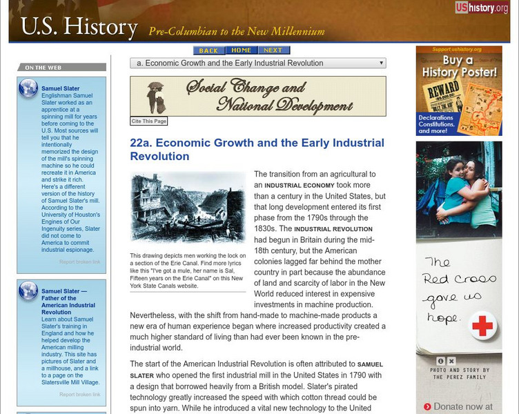
U.s. History: Economic Growth and the Early Industrial Revolution
A very thorough look at the industrial growth in the North because of the advent of the Industrial Revolution in America. See what industries grew, how factories became more productive, and find out how the states cultivated economic...
Curated OER
Educational Technology Clearinghouse: Maps Etc: Welland Canal, 1833 1871
A map from 1921 of the Niagara River area between Lake Ontario and Lake Erie showing the location of the Welland Canal bypassing the Niagara Falls. The Welland Canal, "a canal on the Canadian side of the Niagara River, connecting lakes...
Digital History
Digital History: The Sections [Pdf]
Soon after the end of the Revolutionary War, the characteristics of the various parts of the new United States established themselves. Find out about the sectionalism, economy, and needs in the country in the early 1800s--the...
University of Groningen
American History: Outlines: An Uncertain Economy 1820 1860
In the 1820s, America's population was still moving ever westward in search of opportunities and advancement. These people are sometimes depicted as being fiercely independent and strongly opposed to any kind of government control or...
University of Groningen
American History: Outlines: Economic Expansion, Enlarged Markets
The United States was greatly affected by the Industrial Revolution taking place in Europe during the 18th and 19th centuries. New inventions and capital investment led to the creation of new industries and the spread of economic growth....
Have Fun With History
Have Fun With History: Pioneers and the Frontier
Learning module with a variety of video and other resources on the expansion westward as pioneers settled new frontier in the 1800s.
Other
Zca: History of Zoar Village
A brief description of this Ohio communal society that persisted until 1898.
Raleigh Charter High School
Mrs. Newmark's Page: The Industrial Revolution
Take this quiz to assess your knowledge on the industrial revolution.
Ohio State University
Osu History Teaching Institute: Immigration to America in the 1800s
Learners will be introduced to the reasons people came to America and the different modes of transportation used for the journey. Students will follow the journey of one man from Switzerland to Ohio.
Other
City of Port Colborne
The City of Port Colborne is located on the Niagara Peninsula at the southern terminus on the Welland Canal and the norther shore of Lake Erie. Links provide information on the city's history and a video that showcases the community.
Curated OER
Educational Technology Clearinghouse: Maps Etc: Buffalo and Vicinity, 1920
A map from 1920 of Buffalo New York and vicinity, showing principal cities and towns, Lake Erie, Niagara River and falls, railroads, and the Erie Canal.
Curated OER
Educational Technology Clearinghouse: Maps Etc: Buffalo and Vicinity, 1916
A map from 1916 of Buffalo New York and vicinity, showing Lake Erie, Niagara River and falls, railroads, the harbor with steamer routes to all lake ports, and the Erie Canal.
Curated OER
Educational Technology Clearinghouse: Maps Etc: Buffalo and Vicinity, 1922
A map from 1922 of Buffalo New York and vicinity, showing neighboring counties, principal cities and towns, Lake Erie, Niagara River and falls, railroads, and the Erie Canal.
Curated OER
Etc: Maps Etc: Buffalo, Rochester, and Albany, 1910
A series of maps from 1910 showing the overland waterways of New York, including the river route between Lake Erie and Lake Ontario near Buffalo and Niagara Falls, the route of the Erie Canal, the Hudson River between Troy and Albany,...
Curated OER
Educational Technology Clearinghouse: Maps Etc: Great Lakes Region, 1906
A map from 1906 of the Great Lakes Region, showing major cities and ports, canals (including the Erie Canal), rivers, and steamship routes across the lakes, including routes of the St. Lawrence and Lake Champlain.
Curated OER
Educational Technology Clearinghouse: Maps Etc: Fort Herkimer, 1776 1832
A plan of Fort Herkimer on the Mohawk River, originally built during the French and Indian War, and rebuilt during the American Revolutionary War (1776, renamed Fort Dayton). The fort was destroyed during the building of the Erie Canal...
Curated OER
Educational Technology Clearinghouse: Maps Etc: Amsterdam, New York, 1920
A road map of Amsterdam, New York, from the 1920 Automobile Club of Rochester, showing the Mohawk River, principal roads, railroads and stations, the Erie Canal, and major landmarks.


