Curated OER
Man, Kneeling, in Traditional Clothing Portraying a 17th Century Aboriginal Man
View aspects of the history of the aboriginal peoples of Canada through photographs. Culture, ways of life, and struggles can be examined in this database of primary source images (most from the late nineteenth and early twentieth century).
Curated OER
Photograph of a Man Paddling a Kayak Off the Coast of Greenland, 1889
View aspects of the history of the aboriginal peoples of Canada through photographs. Culture, ways of life, and struggles can be examined in this database of primary source images (most from the late nineteenth and early twentieth century).
Other
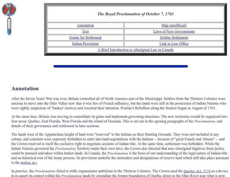
The Royal Proclamation of October 7, 1763
The original text of the British Royal Proclamation, 1763 - the document that dealt with the governance of the new colonies of British North America. The author of the site has published the text of the document as well as an annotation...
Encyclopedia Britannica
Encyclopedia Britannica: Larry Doby
This entry from Encyclopedia Britannica features Larry Doby, an American baseball player, the second African-American player in the major leagues and the first in the American League when he joined the Cleveland Indians in 1947.
Curated OER
Educational Technology Clearinghouse: Clip Art Etc: Abraham Whipple
Abraham Whipple (26 September 1733 - 27 May 1819) was an American revolutionary naval commander. Whipple was born near Providence, Rhode Island and chose to be a seafarer early in his life. He embarked upon a career in the lucrative West...
Curated OER
Wikipedia: National Historic Landmarks in Alabama: Fort Mitchell Site
Fort Mitchell represents three periods of interaction with Native Americans. The first period is the martial aspect of Manifest Destiny, when the Creek Indian Nation was defeated and forced to concede land.; the second represents the...
Curated OER
Educational Technology Clearinghouse: Maps Etc: The State of Ohio, January 1804
After the French and Indian War, France ceded control of the Northwest region including Ohio to Great Britain. With American independence, Ohio became a part of the Northwest Territory, the first organized land addition to the original...
Curated OER
Educational Technology Clearinghouse: Maps Etc: The New West, 1889 1912
A map of the western United States showing the rapid growth of the New West between 1885 and 1912 during the presidencies from Benjamin Harrison to Howard Taft. The map is color-coded to show the States admitted to the Union before the...


