Polk Brothers Foundation Center for Urban Education at DePaul University
De Paul University: Center for Urban Education: Grant Park [Pdf]
"Grant Park" is a one page, nonfiction passage about Chicago creating a landfill by putting the trash from the Chicago fire in 1971 into the lake, on which they built Grant Park. It is followed by an open-ended question which requires...
Travel Document Systems
Tds: Chad: Geography
A great look at the physical features, climate, and topography of the landlocked country of Chad. Read about the climate zones and wildlife. Information is from the U.S. State Dept. Background Notes.
Exploring Nature
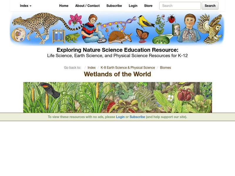
Exploring Nature Educational Resource: Wetlands of the World
A set of illustrated fact pages and activity sheets on different wetlands ecosystems, e.g. the Florida Everglades and Chesapeake Bay.
Globe Tracks
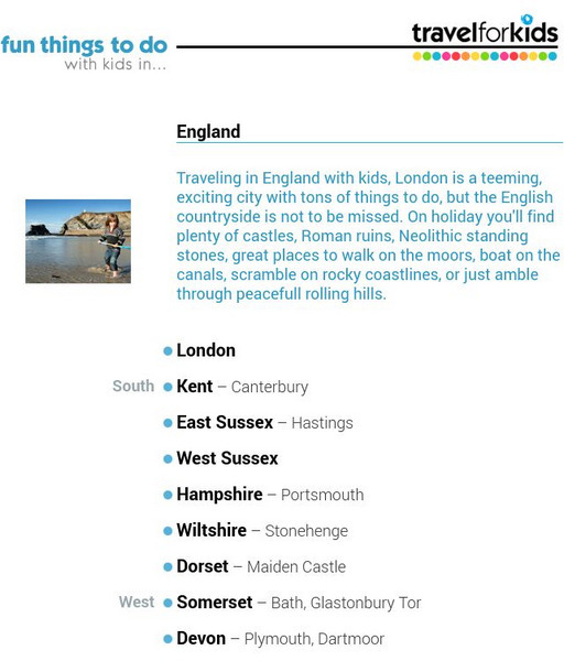
Travel for Kids: England
"London is a teeming, exciting city, but the English countryside is not to be missed, especially with plenty of castles, great places for walks on the moors and rocky coast, lakes, and woodlands." Explore the geography and culture of...
Wikimedia
Wikipedia: Saint Lawrence Seaway
This site looks at the history, locks, dimensions, ecology, international trade, and tourism related to the St. Lawrence Seaway in Canada.
Curated OER
Educational Technology Clearinghouse: Clippix Etc: Great Blue Heron by the Lake
Great Blue Heron by the Lake
Other
Aboriginal People's Television Network: Ojibwe Documentary Series
Waasa-Inaabidaaa We Look In All Directions is a six-part documentary series about five hundred years of Ojibwe history and culture for bands in the Great Lakes Region The resource has teacher's guides for each episode, maps, timelines,...
Siteseen
Siteseen: American Historama: Erie Canal
Provides details about the Erie Canal that stretched for 363 miles linking the Great Lakes with the Atlantic Ocean.
Library of Congress
Loc: America's Story: Nevada
Use this site to explore the rich history of Nevada. Learn about Native American culture from the past and in the future.
Curated OER
Chippewa Camp. Click for Larger Image.
This site provides information on the Indians that inhabited the Great Lakes Region upon settlement by Europeans.
Siteseen
Siteseen: American Historama: Hoover Dam
Article provides statistics and facts about the Hoover Dam, the powerplant, and Lake Mead.
Other
History of the St. Lawrence Seaway Project
Timeline of events detailing the history of the St. Lawrence Seaway Project.
Other
D Cist: Rush Bagot Monument Comes Out of Hiding
This newspaper article gives a brief description of the Rush-Bagot Treaty in its reporting on the monument to this treaty in Washington DC.
US Environmental Protection Agency
Epa: Gulf of Mexico Program: Woodland Cultures (2000 Bc to 1,000 Bc)
This site presents information on the three periods of Woodland Culture. It briefly describes how the Woodland culture began as small villages depending on subsistence farming and hunting. Also describes the move to the mound building...
Lonely Planet
Lonely planet.com: Color Map of Nicaragua
This site has a great full color map of Nicaragua complete with cities, rivers and lakes detailed. Or you can choose the "zoom out" feature and see all of Central America and the Caribbean.
Utah Education Network
Uen: Nhmu: Cultural Clutter Tales in the Trash
Fourth graders list three or more types of evidence of prehistoric cultures that encouraged archaeologists to investigate the marshes around the Great Salt Lake.
Curated OER
Educational Technology Clearinghouse: Maps Etc: Ontario, 1903
A map from 1903 of the Ontario province south of Lake Nipissing and the Ottawa and French Rivers. The map shows county boundaries, major cities and towns, railways, rivers, lakes, and islands of the Great Lakes.
Curated OER
Educational Technology Clearinghouse: Maps Etc: Ontario, 1911
A map from 1911 of the southern part of Ontario from the Algoma and Nipissing districts south to the Great Lakes and St. Lawrence River. The map shows district and county boundaries, major cities and towns, forest reserves, the Algonquin...
Curated OER
Educational Technology Clearinghouse: Maps Etc: Northern Campaign, 1812 1814
A map of the Great Lakes region of North America showing the area of conflict during the northern campaign of the War of 1812, from Lake Michigan east to Lake Champlain and the Hudson River. The map shows the routes of Hull, Wilkinson,...
Curated OER
Etc: Scene of Operations in the War of 1812, 1812 1815
A map of the Great Lakes Region of North America to the Hudson River showing the northern area of conflict during the War of 1812, including the important sites of Fort Dearborn (Chicago), Battle of Tippecanoe, Detroit, Frenchtown (River...
Curated OER
Educational Technology Clearinghouse: Maps Etc: Settled Ontario, 1920
A map from 1920 showing the most populous portions of the Canadian provinces of Ontario and Quebec along the Great Lakes and St. Lawrence River. The map shows major cities and towns, railways, lakes, and rivers in the area.
Curated OER
Etc: Maps Etc: Canada, Railways and Economic Regions, 1911
A map from 1911 of Canada showing the principal economic regions, railway network, and shipping routes in the Great Lakes and Hudson Bay. The map is color-coded to show the industrial districts, agricultural lands, grazing lands, and...
Curated OER
Educational Technology Clearinghouse: Maps Etc: Mississippi Valley, 1672 1673
A facsimile from the collection of Francis Parkman (1865) of an early map of the Mississippi River Valley from the Great Lakes to the Gulf of Mexico, showing the explorations of Father Jacques Marquette (1672-1673). The map shows Lac de...
Curated OER
Etc: Chief Scene of Operations French and Indian War, 1754 1755
A map of the eastern Great Lakes region to the Hudson River and Lake Champlain showing the chief scene of operations of the French-Indian War at the outbreak of the war in 1754-1755. The map shows the British and French forts and...


![De Paul University: Center for Urban Education: Grant Park [Pdf] Unit Plan De Paul University: Center for Urban Education: Grant Park [Pdf] Unit Plan](https://d15y2dacu3jp90.cloudfront.net/images/attachment_defaults/resource/large/FPO-knovation.png)


