Curated OER
Great Lakes Ecology
Eighth graders identify the Great Lakes, and describe the habitat of life of a loon. They are able to point to and explain one of the major river systems that enters the Great Lakes with a focus on the Clinton River and the food webs...
Centers for Ocean Sciences
Ocean and Great Lakes Literacy: Principle 1
Is your current lesson plan for salt and freshwater literacy leaving you high and dry? If so, dive into part one of a seven-part series that explores the physical features of Earth's salt and freshwater sources. Junior hydrologists...
Curated OER
Teaching About the Hydrosphere
Eighth graders are introduced to the Earth's hydrologic system including the cycling of water in the atmosphere and the movement of water on the surface of the planet using the Great Lakes watershed as an example.
Curated OER
Who Are the Aliens in Our Inland Seas?
Students work in teams to research specific landforms in Great Lakes Watershed, compile information into data table, and write legend explaining landform for children's book. Students then research area surrounding landform, compile...
Curated OER
Great Lakes Watershed
Eighth graders construct a watershed model. In this earth science instructional activity, 8th graders compare the Great Lakes watershed to others in the country. They explain its in the ecosystem.
Curated OER
Shedding Light on Watersheds
Learners discuss what a watershed is, complete online activities showing them how to take care of a watershed, and create a model of a watershed that they experiment with to see what happens when it is disrupted by civilization.
Michigan Sea Grant
Exploring Watersheds
Collaboratively, students partake in a hands-on activity in which they build models of a watershed. Each group member draws an elevation map—a bird's eye view—of their model and predicts how water will flow from the high to low points....
Curated OER
Identifying Pennsylvania Watersheds
Ninth graders study and identify the six major drainage systems in Pennsylvania. In this watershed lesson students read an article, complete an activity and take a quiz on what they learned.
Curated OER
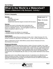
What in the World Is a Watershed?
Students discover the role of a watershed. In this geography lesson, students are shown a diagram of a watershed and discuss the definition of a watershed. Students demonstrate the role of a watershed by using an umbrella and spraying it...
Curated OER
Bell Live! The Great Lakes: A Superior Adventure
Young scholars participate in a virtual field trip to Lake Superior. In groups, they perform experiments in which test the level of toxins and bacteria in the water. They also watch video segments life in the lake and discuss their...
Curated OER
Snapshot Day Definitions & Activities
In this watershed worksheet, students read through related definitions and complete 17 short answer questions about deposition and erosion in the Hudson River.
Curated OER
Great Flathead Lake Ecosystem Mystery
Students analyze data to solve the mystery of what contributed to an ecological disaster at Great Flathead Lake. They read and graph the available data, create a food web of the problem ecosystem, and construct a formal problem statement...
Curated OER
Eutrophication Experiments
Observe two different water samples and write down observations. Write a paragraph which predicts the relative amounts of nutrients, nitrates, and phosphates in the water samples. Compare water samples under a microscope.
Curated OER
Repopulating Michigan's Waterways
Eleventh graders identify the parts of an ecosystem and how communities change over time. For this ecology lesson students formulate a habitat restoration plan.
NOAA
Noaa: Freshwater
This site is designed to assist the educator in teaching concepts and processes related to freshwater environments and to increase stewardship of these important resources. There are links to resources regarding the Great Lakes...
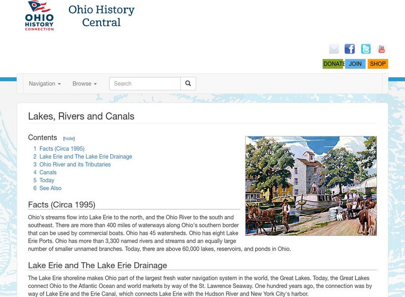
Ohio History Central
Ohio History Central: Lakes, Rives, & Canals
This site provides a brief introduction to the river system and canals of Ohio. Includes a history of the canal system, details and maps of the drainage throughout the state, and how the river systems are used today.
Curated OER
Educational Technology Clearinghouse: Maps Etc: The United States, 1910
A map from 1910 of the United States showing general elevations, water depths, watershed boundaries, and terrain features, including the Pacific Slope, Great Basin, Colorado Plateau, Cordilleran Highlands, Rocky Mountains, Great Central...


