Curated OER
Etc: Maps Etc: The Great Powers and Imperialism in China, 1919
A map of China from 1919 showing the territorial possessions claimed in the country under European and Japanese imperialism after the Treaty of Shimonoseki (1895) between Japan and China, and the Conference of Paris, or Paris Peace...
Curated OER
Educational Technology Clearinghouse: Maps Etc: Northern Campaign, 1812 1814
A map of the Great Lakes region of North America showing the area of conflict during the northern campaign of the War of 1812, from Lake Michigan east to Lake Champlain and the Hudson River. The map shows the routes of Hull, Wilkinson,...
Curated OER
Etc: Maps Etc: Europe After the Congress of Vienna, 1815
A color map of Europe after the Congress of Vienna in 1815, which redrew the continent's political boundaries after the French Revolution, Napoleonic Wars, and the dissolution of the Holy Roman Empire. This map is color-coded to show...
Curated OER
Educational Technology Clearinghouse: Maps Etc: The Thirteen Colonies , 1776
A map of the thirteen colonies at the outset of the American Revolutionary War, showing major cities and towns, the Great Lakes, mountains, rivers, and coastline.
Curated OER
Educational Technology Clearinghouse: Maps Etc: Pylos, 425 Bc
A map of Pylos on the Bay of Navarino, Messenia, Greece, site of the great naval battle between Athenian and Spartan fleets during the Peloponnesian War.
Curated OER
Etc: Maps Etc: Sketch of the Niagara River Between Queenston and Chippewa, 1812
A map from 1832 of the Niagara River between Queenston and Chippewa. During the War of 1812, the Niagara region became an important battleground. Fort Niagara was located on the American side and Fort George was located on the Canadian...
Curated OER
Educational Technology Clearinghouse: Maps Etc: Northwest Territory, 1795
The Ohio Valley and Great Lakes region after the French and Indian War (1754-1763). The Northwest Ordinance of 1787 was the first organization of land in the United States after the first 13 colonies. This ordinance set the important...
Curated OER
Educational Technology Clearinghouse: Maps Etc: The State of Ohio, January 1804
After the French and Indian War, France ceded control of the Northwest region including Ohio to Great Britain. With American independence, Ohio became a part of the Northwest Territory, the first organized land addition to the original...
Curated OER
Image From a New Enemy
In-depth look at World War I. Includes summaries of the war years; sound clips of eye-witness accounts; virtual tours of trenches on the Western Front; maps; articles and overviews; and similar resources.
Curated OER
Image From From Disaster to Victory: The British Army From 1916 1918
In-depth look at World War I. Includes summaries of the war years; sound clips of eye-witness accounts; virtual tours of trenches on the Western Front; maps; articles and overviews; and similar resources.
Curated OER
Image From the German Front Experience
In-depth look at World War I. Includes summaries of the war years; sound clips of eye-witness accounts; virtual tours of trenches on the Western Front; maps; articles and overviews; and similar resources.
Curated OER
Image From Life in the Trenches Virtual Tour
In-depth look at World War I. Includes summaries of the war years; sound clips of eye-witness accounts; virtual tours of trenches on the Western Front; maps; articles and overviews; and similar resources.
Curated OER
Image From the Western Front: Lions Led by Donkeys?
In-depth look at World War I. Includes summaries of the war years; sound clips of eye-witness accounts; virtual tours of trenches on the Western Front; maps; articles and overviews; and similar resources.
Curated OER
Image From Versailles and Peacemaking
In-depth look at World War I. Includes summaries of the war years; sound clips of eye-witness accounts; virtual tours of trenches on the Western Front; maps; articles and overviews; and similar resources.
Other
Gov't of Nfld.: Distinguished Service: Royal Newfoundland Regiment
Photographs, documents, and maps of the Royal Newfoundland Regiment is viewable on this site. The Regiment's involvement in World War 1 is detailed from enlistment and training, to overseas service. Downloadable exhibit panels are...
Library of Congress
Loc: African American Mosaic: Migrations
The Library of Congress surveys the migration of African Americans to out of the South after the Civil War. Features include statistics, maps, and reasons for the migration.
Curated OER
Bbc: Nato's Cold War Roots
A fantastic history of NATO. From its inception after WWII to its call to action during the Kosovo crisis, the BBC does a great job of giving readers a well-rounded look at the institution. Includes a map with all member countries as...
Curated OER
Etc: Vicinity of Fortress Monroe, 1861 1865
A map of the vicinity of Fort Monroe near Hampton and Norfolk, Virginia, during the American Civil War. The map shows forts, coastline features, the site of the Battle of Great Bethel, and the waters of Hampton Roads off Sewell's Point...
Curated OER
Etc: French Expansion and British Conquests in North America , 1700 1763
A map of eastern North America showing the British and French territorial expansion in the region between 1700 and the end of the French and Indian War in 1763. The map shows the principal stages in the acquisition of Eastern North...
Curated OER
Etc: Development of the Northwest Territory in Us, 1790 1810
A map of the American Northwest Territory showing the boundary developments in 1790, 1800, and 1810. The upper left map shows the territory acquired by the United States from Britain after the Revolutionary War as established by the...
Independence Hall Association
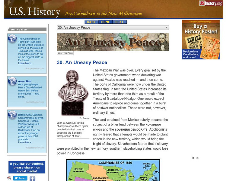
U.s. History: An Uneasy Peace
See what turmoil resulted from the acquisition of new territory after the Mexican-American War. There was great disagreement between those who wanted to abolish slavery and those who wanted to be able to carry slavery into the new lands....


