Curated OER
Etc: Maps Etc: Relief of the United States, 1904
A relief map from 1904 of the United States showing the mountain systems and highlands, plateaus, plains, lakes, rivers, and coastal features. This map divides the area into the main groups of the St. Lawrence Basin, Allegheny Region,...
Curated OER
Etc: Maps Etc: Relief of the United States, 1910
A relief map from 1910 of the United States showing the physical features of the New England Highlands, Adirondacks, Appalachian Plateau and Mountains, Piedmont Plateau, Coastal Plains, Lake Superior Highlands, Red River Valley Plains,...
Curated OER
Etc: Maps Etc: Forest Map of the United States, 1910
A map from 1910 of the United States showing the forest regions of the Pacific, Rocky Mountains, Northern Forest in the Great Lakes and New England areas, Southern Forest along the Gulf and East Coast, and the Hardwood Forest. The map...
Independence Hall Association
U.s. History: The Second War for American Independence
The War of 1812 has been called the Second War of Independence. Find out about one of the causes of the war, and read about the possible plans for secession by the New England states, which opposed the war.
Boston College
19th Century Architecture: Mills
This site presents pictures of the architecture of different mills located in the northeastern part of the United States.
University of Groningen
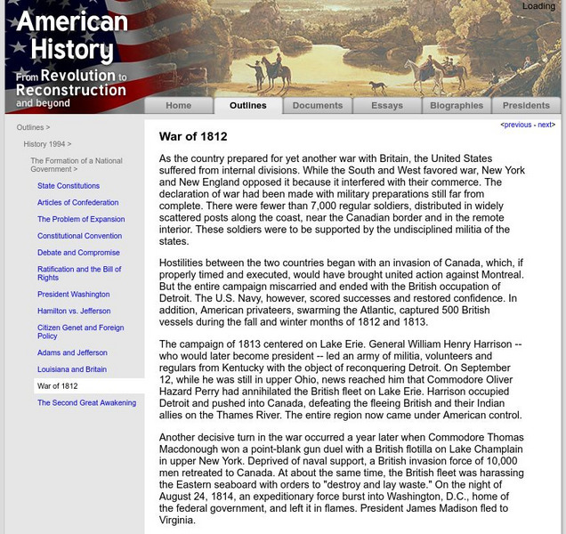
American History: Outlines: War of 1812
As the country prepared for yet another war with Britain, the United States suffered from internal divisions. While the South and West favored war, New York and New England opposed it because it interfered with their commerce. The...
Other
Us Gen Net: American Local History Network: The Struggle for Kansas
A detailed, 5-page article giving an in-depth look at the problems in Kansas after the passage of the Kansas-Nebraska Act.
Alabama Learning Exchange
Alex: Report the Trials: Salem Hysteria
Students will act as a radio/TV reporter informing the public of the hysteria of the 1692 Salem Witch Trials. Within partners/groups, students will create a podcast/vodcast connecting Puritan life and culture with the events in Salem.
Curated OER
Educational Technology Clearinghouse: Maps Etc: New Hampshire and Vermont, 1898
A map from 1898 of New Hampshire and Vermont. "New Hampshire, one of the thirteen original States. Settled by English Puritans at Dover and Portsmouth 1623. Named for Hampshire County, England, called the 'Granite State.’ Ratified United...
Curated OER
Etc: Maps Etc: Comparative Areas of the United States and Other Countries, 1872
A map from 1872 of the United States used to illustrate the comparative area sizes of the states to other countries in the world. The map shows state and territory boundaries at the time (Dakota, Montana, Washington, Idaho, Wyoming,...
University of Illinois
University of Illinois: Early American Trade With China: American Ideas About Trade [Pdf]
American businessmen in the late 18th and 19th centuries were very interested in finding markets all over the world for their goods and actively pursuing opportunities for foreign trade. The young nation needed to earn money to pay back...
Digital History
Digital History: "Bleeding Kansas" and "Bleeding Sumner"
Read about how the concept of popular sovereignty expressed in the Kansas-Nebraska Act resulted in political intrigue and murder in Kansas and the caning of a U.S. Senator in the Senate chamber.
Other
A Brief Profile of the Continental Army
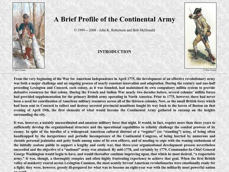
Basically an on-line booklet that profiles the Continental Army of the Revolutionary War. An Introduction is provided along with the structure and components of the army. The armies of 1775 through 1784 are detailed as well as the...
Other
Memorial Hall Online Museum: In the Classroom
This site from the Memorial Hall Museum provides curricula, information and activities for teachers teaching social studies.
Curated OER
Educational Technology Clearinghouse: Maps Etc: Presidential Election, 1836
A map of the United States showing the results of the presidential election of 1836. The map is keyed to show the states carried by Van Buren (Democrat), Harrison (Whig Party - West), and the third candidates White (Whig Party - South),...
University of Groningen
American History: Outlines: The Colonial Period
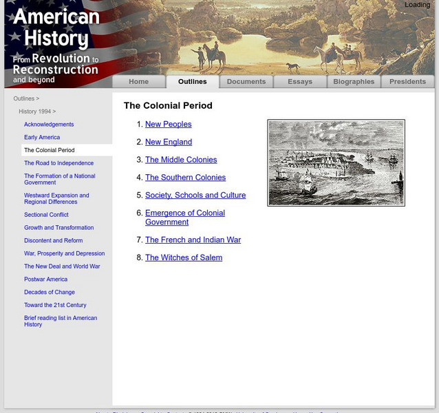
A brief discussion of the colonial period in the United States. Includes information on New England, the middle colonies, and the southern colonies. Also, find out about the early government, and the French and Indian War.
Curated OER
Etc: Distribution of Votes in Ratification of the Constitution, 1787 1788
A map showing the distribution of votes in the ratification of the Constitution (1787-1788) for the Middle and Southern States south of New England, including the Kentucky and Tennessee districts. The map is keyed to show areas where the...
Curated OER
Wikipedia: National Historic Landmarks in California: Larkin House
This house, part of the larger NHLD Monterey State Historic Park, combined Spanish building techniques with New England features, creating the Monterey Colonial style of architecture.
Curated OER
Wikipedia: Natl Historic Landmarks in Connecticut: Litchfield Historic District
Well-preserved late 18th-early 19th century New England town that was the state's first historic district.
Colonial Williamsburg Foundation
Colonial Williamsburg: Colonial Religion
The site provides a detailed overview of role religion played in the lives of the colonists. Content explores how religion played a part in the Revolution, and the statute for religious freedom, as well as providing a lesson plan, a link...
Digital History
Digital History: Overview of the Colonial Era
The year 1492 marks a watershed in modern world history. Columbus's voyage of discovery inaugurated a series of developments that would have vast consequences for both the Old World and the New. It transformed the diets of both the...
Other
Oneworld.net
Oneworld.net is an internet based news source providing the latest news from around the world. They represent over 1600 organizations that promote human rights awareness.
Curated OER
Etc: The Maine Boundary Dispute, 1798 1842
A map of the Quebec, New Brunswick, and Maine area showing the boundary dispute between England and the United States between 1798 and 1842. The map is color-coded to show the boundary claims of the British and United States after 1798,...


