Curated OER
Educational Technology Clearinghouse: Maps Etc: Central North America, 1755
A map of central North America showing territorial claims at the beginning of the French and Indian War in 1755. The map shows the Oregon Country, the Spanish claims to New Spain and Florida, the French claims to Louisiana and Canada,...
Curated OER
Unesco: Mexico: San Miguel and Sanctuary of Jesus Nazareno De Atotonilco
The fortified town, first established in the 16th century to protect the Royal Route inland, reached its apogee in the 18th century when many of its outstanding religious and civic buildings were built in the style of the Mexican...
Other
Press Display Real Newspapers on Your Pc
PressDisplay offers image captures of entire newspapers from 40 different countries. Select a country, then a newspaper, and view the entire contents of that newspaper online.
Other
Why Christmas: Christmas Cultures Around the World
A look at the different traditions and ways Christmas is celebrated around the world. Experience Christmas from Australia to Zambia, Italy to China, and many more countries.
Digital History
Digital History: Overview of the Colonial Era
The year 1492 marks a watershed in modern world history. Columbus's voyage of discovery inaugurated a series of developments that would have vast consequences for both the Old World and the New. It transformed the diets of both the...
University of Groningen
American History: Outlines: Louisiana and Britain
One of Jefferson's acts doubled the area of the country. At the end of the Seven Years' War, France had ceded to Spain the territory west of the Mississippi River, with the port of New Orleans near its mouth -- a port indispensable for...
NPR: National Public Radio
Npr: An Islamic Journey Inside Europe
NPR takes a thorough look at the integration of Muslims into European society. How is Christian Europe handling this challenge of a new culture. Spain, Britain, France are some of the countries under scrutiny.
Other
Radford University: Prelude to European Settlement of Virginia
This site traces the early voyages of explorers from Portugal and Spain who were trying to find new resources.
PublicBookshelf Corporation
Our Country, Vol. I: Panfilo De Narvaez
From a history book published in the late 19th century, this account of the exploits of Panfilo de Narvaez in the new world relies primarily on an account by Alvar Nunez Cabeza de Vaca, upon his return to Spain.
Ibis Communications
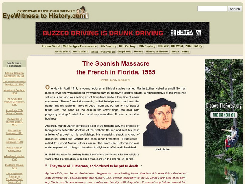
Eye Witness to History: The Spanish Massacre: The French in Florida, 1565
An eyewitness account of the massacre of French Huguenots who were massacred by the Spanish commander, Pedro Menendez, near their settlement, Fort Caroline.
A&E Television
History.com: 10 Things You May Not Know About Christopher Columbus
Check out 10 things you may not know about the explorer who sailed the ocean blue in 1492 for example, Columbus didn't set out to prove the earth was round.
A&E Television
History.com: Amerigo Vespucci
Amerigo Vespucci was an Italian-born merchant and explorer who took part in early voyages to the New World on behalf of Spain around the late 15th century. By that time, the Vikings had established settlements in present-day North...
Library of Congress
Loc: Hispanic Reading Room: The First Circumnavigation of the Globe
As part of a larger site that explores the Portuguese role in mapping the New World, this brief article talks about the legacy of Magellan, a Portuguese-born explorer for Spain whose crew was the first to circumnavigate the globe. Find...
Other
Georgetown College: Pinckney's Treaty (Treaty of San Lorenzo)
Although very brief, this site gives you the three major terms of Pinckney's Treaty.
Discovery Education
Discovery Education: 9 12 Teacher Resources
A plethora of resources, science teachers can utilize this education center for academically aligned lesson plans and video clips for middle and high school students.
Khan Academy
Khan Academy: Parish of San Sebastian, Procession of Corpus Christi
Inca, Spanish, and Christian traditions come together in this 17th-century painting of a religious procession in Cuzco. "Parish of San Sebastian" is part of a series of eighteen canvases. View pictures and read descriptions of this...
Khan Academy
Khan Academy: Sanctuary of Bom Jesus De Matosinhos of Congonhas Do Campo
Bom Jesus de Matosinhos in Congonhas do Campo is a sanctuary for many pilgrims in Brazil. This elaborate complex of architecture, sculpture, and painting shows scenes of the life and death of Christ. View pictures and read the history of...
Khan Academy
Khan Academy: Church of Sao Francisco De Assis, Ouro Preto, Brazil
The church of Sao Francisco, with its curving geometries and lively ornamentation, stands in sharp contrast to traditional early modern Portuguese architecture which generally favored simple plans and exteriors. View pictures and read...
Khan Academy
Khan Academy: Mestre Valentim, Passeio Publico, Rio De Janeiro
The Passeio Publico in Brazil represented several groundbreaking achievements in art. This park was designed by an artist of African descent-Mestre Valentim. View pictures and read the history of this public park, including the unique...
Khan Academy
Khan Academy: Fourteen Portraits of the Inka Kings
The Brooklyn Museum of Art has in its collection a series of fourteen portraits of Inka rulers. View pictures of this collection and read the history of Inkan ruler Atahualpa in this essay.
Curated OER
Etc: Maps Etc: Comparative Areas of the United States and Other Countries, 1872
A map from 1872 of the United States used to illustrate the comparative area sizes of the states to other countries in the world. The map shows state and territory boundaries at the time (Dakota, Montana, Washington, Idaho, Wyoming,...
Curated OER
Etc: Maps Etc: Australia and Australasian Islands, 1882
A map of Australia and the Australasian islands in 1882 showing the states and territories of Australia at the time, including De Witt Land and Tasman Land in Western Australia, Alexandra Land and North Australia, Queensland, South...
Curated OER
Etc: Maps Etc: The States and Their Land Claims at Close of Revolution, 1783
A map of the United States at the close of the American Revolutionary War showing the newly formed States, and their claims to the lands west of the Allegheny Mountains to the Mississippi River. The map shows the territories jointly...
Curated OER
Educational Technology Clearinghouse: Clip Art Etc: Edward Ferrero
General Edward Ferrero was born in Granada, Spain, January 18th, 1831. His parents were Italian, and he was brought to the United States when an infant. At the beginning of the war he was lieutenant colonel of the Eleventh New York...


