Curated OER
Educational Technology Clearinghouse: Maps Etc: Panama Canal, 1911
A map from 1911 of the Panama Canal, showing the line of the canal with the miles from Colon given (49 miles from Colon to Panama City), the existing and proposed location of the Panama Railroad, dams, feeding rivers and mountains, towns...
Curated OER
Educational Technology Clearinghouse: Maps Etc: Panama Canal Zone, 1916
A map from 1916 of the Panama Canal Zone showing the physical features of the area, including terrain and mountains, rivers, lakes, the continental divide, and coastal features. The map uses color-contouring to show elevations from sea...
Curated OER
Educational Technology Clearinghouse: Maps Etc: Panama Canal, 1920
A map from 1920 of the Panama Canal showing the Canal Zone boundaries, the channel route from Colon to the city of Panama, railroad route, lakes, reservoirs, locks, and towns along the canal. A chart at the top of the map shows the...
Curated OER
Educational Technology Clearinghouse: Maps Etc: The Panama Canal, 1919
A map from 1919 of the Panama Canal Zone showing the completed canal, the Panama Railway, the locks, breakwaters and dams, the Caribbean entry at Colon and Pacific entry at the City of Panama, the boundary with the Republic of Panama,...
Curated OER
Educational Technology Clearinghouse: Maps Etc: Panama Canal, 1906
A vertical cross-section chart from 1906 of the Panama Canal showing elevation and the location of locks. "The canal extends from a six-fathom line in Colon harbor on the Atlantic to a six-fathom line off Panama on the Pacific. The first...
Curated OER
Educational Technology Clearinghouse: Maps Etc: Panama Canal Zone, 1920
A relief map from 1920 of the Panama Canal Zone showing terrain features, lakes, feeding rivers, the channel route, dams, locks, railroad, and entrance cities. The Canal Zone is shaded darker, and an inset map shows the entire isthmus...
Curated OER
Educational Technology Clearinghouse: Maps Etc: Panama Canal, 1911
A map from 1911 of the Panama Canal showing the Canal Zone boundaries, the channel route from Colon to the city of Panama, railroad route, watershed division lines, lakes, reservoirs, locks, and towns along the canal.
Curated OER
Educational Technology Clearinghouse: Maps Etc: The Panama Canal, 1920
A map from 1920 of the Panama Canal showing the channel route from Colon to the city of Panama with the miles given along the route from Colon, railroad route, lakes, reservoirs, the Gatun dam, locks, and towns along the canal. The map...
Other
Moah: A Sense of Wonder: The 1915 San Francisco World's Fair
A great overview of the San Francisco World's Fair in 1915 celebrating the opening of the Panama Canal. The fair celebrated American industry, architechture, sculpture, and agriculture.
Wikimedia
Wikipedia: John Hay
In-depth biography of John Milton Hay (October 8, 1838 - July 1, 1905), author of the Open Door Policy in China. Hay also paved the way for the construction of the Panama Canal.
Khan Academy
Khan Academy: Ap Us History: 1890 1945: The Presidency of Theodore Roosevelt
Looks at Theodore Roosevelt's actions and accomplishments as president from 1901-1909. Discusses his policies in Latin America and the construction of the Panama Canal, and his Square Deal program where he went out of his way to...
American Presidency Project
American Presidency Project: Statement Following Receipt of a Report on Panama
This statement, read by Associate Press Secretary Andrew T. Hatcher during the presidency of Lyndon B. Johnson, was given following the receipt of information on the rioting and violence in the Panama Canal Zone in January 1964.
Digital History
Digital History: Foreign Policy Triumphs
The Camp David Accords and the Panama Canal Treaty are two of Jimmy Carter's foreign policy achievements are discussed in this web-article.
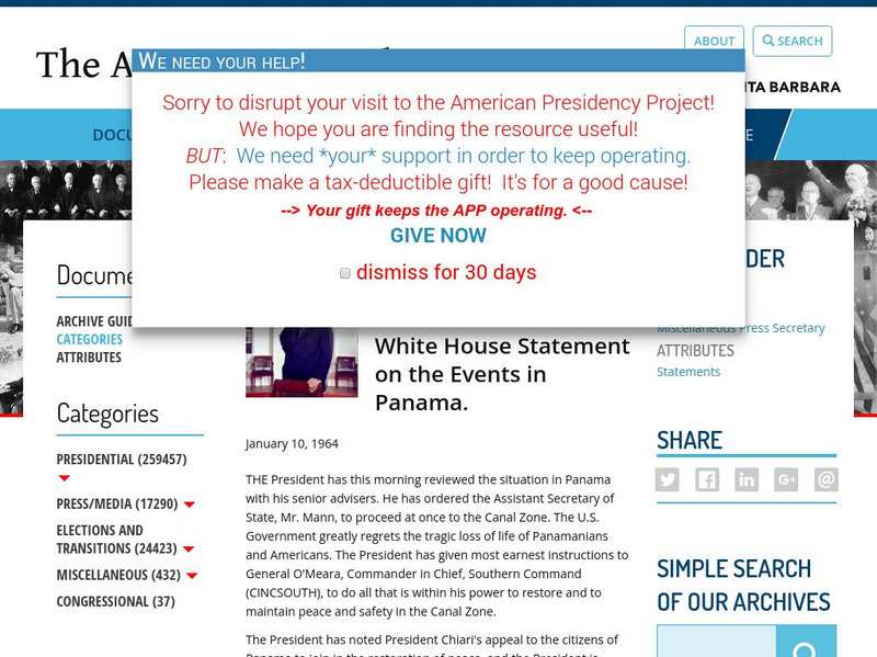
American Presidency Project
American Presidency Project: White House Statement on the Events in Panama
Here is a statement made by Lyndon B. Johnson on January 10, 1964 concerning the violence in Panama in the Canal Zone.
University of Virginia
Miller Center at Uva: u.s. Presidents: Jimmy Carter: Foreign Affairs
Information on President Carter's foreign affairs including his work with human rights, negotiating control of the Panama Canal, and negotiating peace in the Middle East, all despite his poor image in the media.
Other
Gunboat Photo Archive: Nashville (Pg 7) / Ex Gunboat No. 7
Check out this website for information on the USS Nashville and original photos of the ship. President Roosevelt sent this ship to the Panama Canal in 1903 to support the 'Revolt.'
World Geography Games
World Geography Games: Straits and Canals
Do you know where the Strait of Hormuz is located? Or the Panama Canal? This geography came will ask you locate straits and canals all around the world on the interactive map.
CZBrats
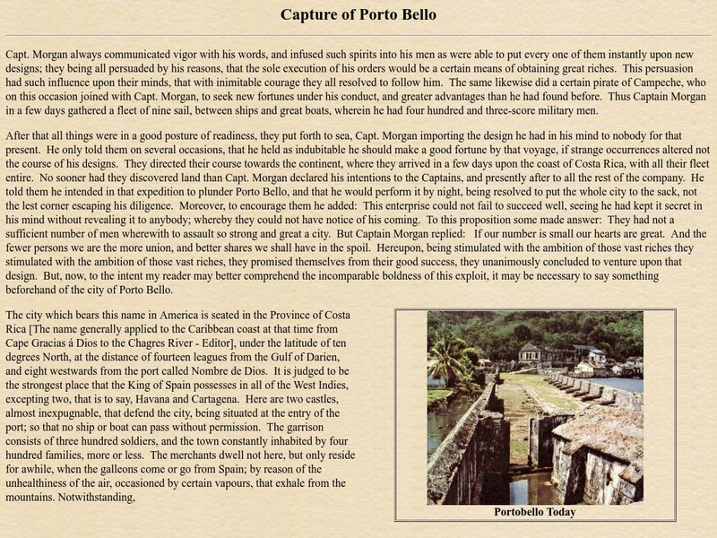
Capture of Portobello
This page presents a fascinating article about the Capture of Porto Bello by Capt. Morgan (during the Colonial Period of the history of Panama). There are also photos.
CZBrats
The Lost Laughter of Darien
This page is an article entitled "The Lost Laughter of Darien", taken from the book "Ravelings From A Panama Tapestry", by Sue Core. For information about the Colonial period of history, scroll down the page to the heading "Historical...
A&E Television
History.com: 10 World Engineering Marvels
These remarkable feats of design and construction transformed the ways that people travel, communicate and live. For thousands of years, mankind has engineered remarkable structures such as the pyramids of Egypt and the Great Wall of...
Curated OER
Etc: Maps Etc: Route of the Panama Isthmian Canal, 1904
A map from 1904 of the Panama Canal showing terrain relief of the isthmus, noting the 'Canal always follows the line of the Railroad’ from Colon to the city of Panama. "For generations the Panama Canal had been the dream of man and for...
Curated OER
Etc: Maps Etc: The Isthmus With Completed Canal, 1913
A map from 1913 detailing the Panama Canal Zone and completed canal, with an inset map of the entire country of Panama "The dotted lines show the boundary of the territory known as the Canal Zone, a strip ten miles wide, from deep water...
Curated OER
Educational Technology Clearinghouse: Maps Etc: The Canal Zone, 1913
A map from 1913 of the Panama Canal Zone, showing the canal route from Colon to the city of Panama, with towns along the route. The dotted lines indicate the boundary of the U.S. controlled Canal Zone. The US controlled this area from...


