University of Oregon
University of Oregon: Mapping History: Alaska and Hawaii
On this map you can see Alaska and Hawaii in relation to the contiguous United States and read brief text about their purchase/annexation, territorial status, and addition as states.
Other
Wiche: Western State College Tuition Agreements
The WICHE serves the 15 Western state region of the United States through assisting students in getting affordable access to educational programs of study.
Library of Congress
Loc: Meeting of Frontiers
A collaborative effort between the Library of Congress, the University of Alaska at Fairbanks, the Russian State Library, and others. Compare and contrast the frontier stories and practices of the United States and Russia. There are...
Library of Congress
Loc: The Russian Church and Native Alaskan Cultures
The Library of Congress exhibition provides information and pictures of documents as well as photographs of the Russian Church era in Alaska.
Library of Congress
Loc: Local Legacies
Experience America through its grassroots! Diverse populations lend cultural colorfulness to our country. Read about an International Food Fair in California, Annie Oakley Days in Ohio, and Wabanaki Basketry in Maine. Click on your...
University of Nebraska
University of Nebraska State Museum: Alaska Kelp Community
Discover the ecological relationships of six different organisms living in the Alaskan kelp community. The site also contains an interactive map showing the time line for the spread of the Exxon Valdez oil spill.
University of Alaska
Alaska Science Forum: Plasma: The Fourth State of Matter
Good discussion on the conditions and natural existence of plasmas.
Other
Alaska Department of Education: Alaska's Gold
This comprehensive resource looks at the discovery of gold through the use of nonconventional means. Students read diaries, newspapers, maps, photographs, and government documents and view things people used in their everyday lives.
Other
Alaska Fish and Game: Spotted Seal [Pdf]
Read about the general characteristics, reproduction, food habits, seasonal movements, behavior, population size and other aspects of the spotted seal. PDF. Requires Adobe Reader.
Other
Alyeska Pipeline System
Interesting facts about the famous Alaskan Pipeline that was built in 1977 to provide oil for the United States. Includes pipeline facts, information on safety & environment, news, and much more.
Curated OER
Etc: Maps Etc: Conifers in Canada and Eastern United States, 1911
A map from 1911 of North America showing the distribution patterns of the dominant conifers in Canada and eastern United States to Alaska. The species shown are Picea mariana (Black Spruce), Larix laricina (Tamarack), Pinus divaricata...
Curated OER
New York Times: Above It All in Alaska
Get a birds' eye view of the great state of Alaska presented in this spectacular slideshow by the New York Times.
Curated OER
Alaska State Flag
Presents extensive information regarding Alaska's history, cities, geography, state parks, tourism, and historic sites. A fact sheet of information and a quiz are also available.
Other
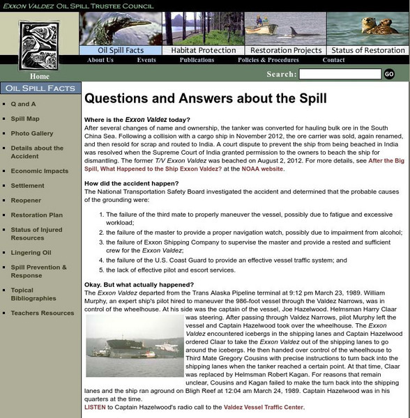
Exxon Valdez Oil Spill Trustee Council: Questions and Answers
Use this site to learn all about the Exxon Valdez oil spill in this easy to read, detailed, question/answer format. The links on the left hand side will take you to pictures, maps, lingering impacts and lots more.
US Census Bureau
U.s. Census Bureau: Gazetteer Files
The U.S. Gazetteer Files provide a listing of all geographic areas for selected geographic area types. The files include geographic identifier codes, names, area measurements, and representative latitude and longitude coordinates. There...
Cayuse Canyon
The Us50
This clickable map of the United States gives students access to research information from history and tourism to attractions and famous historic figures.
Other
Eight Stars of Gold: The Story of the Alaskan Flag
Multimedia presentation of the story of the Alaskan flag.
Curated OER
Etc: Alaska Boundary Controversy, 1867 1903
A map of southeastern border of Alaska and Canada showing the area of boundary dispute and the boundary established by the Hay-Herbert Treaty between Britain and the United States in 1903. The map shows the coastline and fjords of the...


