Curated OER
Etc: Maps Etc: Mexico, Central America and the West Indies, 1852
A map from 1852 of Mexico, Central America, and the West Indies. The map shows territorial boundaries at the time, including the Mexican States, capitals and major cities and ports, railroads, rivers, lakes, mountain systems, and terrain...
Curated OER
Educational Technology Clearinghouse: Maps Etc: Mexico, 1920
A map from 1920 of Mexico showing major cities and ports, railroads with connections to the railroad network in the United States, shipping routes from New Orleans and San Francisco with distances given in nautical miles, rivers with...
Ducksters
Ducksters: Animals for Kids: Colorado River Toad
Kids learn about the Colorado River Toad. The largest native toad in the United States likes dry areas and deserts..
Other
The Official Site of Minor League Baseball
Official site for Minor League Baseball. Anything you ever wanted to know about the Minor League is right here.
PBS
Pbs: Commanding Heights the Battle for the World Economy
A huge site dedicated to an understanding of the current global economic system. Includes the history, forces, values and perceptions that have shaped the world's economy. A comprehensive resource that includes a detailed economic report...
University of Groningen
American History: Outlines: The Literature of Exploration
Had history taken a different turn, the United States easily could have been a part of the great Spanish or French overseas empires. Its present inhabitants might speak Spanish and form one nation with Mexico, or speak French and be...
Smithsonian Institution
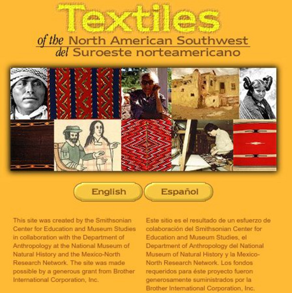
Smithsonian: Textiles of the North American Southwest
This site explores the weaving traditions of the Native American and Hispanic peoples of northern Mexico and the southwestern United States. A gallery of artifacts, timeline, map glossary, and textual descriptions are included. This is a...
University of Oregon
University of Oregon: Mapping History: Kansas Nebraska Act: 1854
Toggle back and forth on this interactive map to see how the Kansas-Nebraska Act of 1854 completely negated the Missouri Compromise. Click on the map to see where slavery was permitted before 1854 and then after. Be sure to click on the...
Curated OER
Educational Technology Clearinghouse: Maps Etc: Presidential Election, 1860
A map of the United States showing the results of the presidential election of 1860. The map is color-coded to show the states carried by Lincoln (Republican), Breckinridge (Southern Democrat), Bell (Constitutional Union), and Douglas...
Curated OER
Educational Technology Clearinghouse: Maps Etc: Presidential Election , 1860
A map of the United States showing the results of the presidential election of 1860. The map is color-coded to show the states carried by Lincoln (Republican), Breckinridge (Southern Democrat), Bell (Constitutional Union), and Douglas...
Curated OER
Etc: The Us at the Outbreak of the Civil War, 1860 1861
A map of the United States at the outbreak of the Civil War (1860-1861) showing the States that seceded to form the Confederate States of America. The map also shows the territorial boundaries of the Washington Territory, Dakota...
Curated OER
Wikipedia: Natl Historic Landmarks in Nm: Los Alamos Scientific Laboratory
United States Department of Energy (DOE) national laboratory; site of the Manhattan Project.
Smithsonian Institution
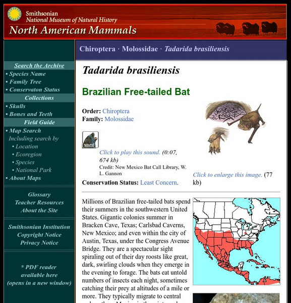
National Museum of Natural History: American Mammals: Brazilian Free Tailed Bat
Millions of Brazilian free-tailed bats spend their summers in the southwestern United States. Gigantic colonies summer in Bracken Cave, Texas; Carlsbad Caverns, New Mexico; and even within the city of Austin, Texas, under the Congress...
Smithsonian Institution
National Museum of Natural History: American Mammals: Preble's Shrew
Very little is known about the natural history of Preble's Shrew, which has been found in widely separate localities in much of the western United States. Specimens have been collected at elevations of 1,280 m in Oregon and 2,750 m in...
Digital History
Digital History: The Clinton Presidency
Short, but comprehensive, synopsis of Clinton's two terms as president. Included in the article is the 1992 campaign, successful and controversial legislation, and the scandals that would eventually become part of his presidential legacy.
Curated OER
Educational Technology Clearinghouse: Maps Etc: United States, 1845
A map of the United States in 1845 after the Louisiana Purchase, the Lewis and Clark Expedition, and the annexation of Texas. The map is color-coded to show the States and territory of the United States west to the Pacific with the dates...
Curated OER
Etc: Texas Controversy and Territorial Adjustment, 1836 1850
A map of the western United States between 1836 and 1850 showing the Texas controversy and territorial adjustments at the time. The map is color-coded to show the unorganized territory of the Louisiana Purchase and the boundary line with...
Curated OER
Educational Technology Clearinghouse: Maps Etc: Compromise of 1850, 1850
A map of California and the western territories at the time of the Compromise of 1850. The compromise was a series of bills dealing with the slavery issue, and under its provisions California was admitted to the Union as a free state,...
Curated OER
Etc: Maps Etc: The Slavery Prohibition Compromise of 1850, 1850
A map of California, the Utah Territory, and the New Mexico Territory in 1850 showing the effect of the Compromise of 1850, a series of bills intending to settle the issue of slavery and abolition raised in the territories after the...
Curated OER
Educational Technology Clearinghouse: Maps Etc: Compromise of 1850, 1850
A map of the United States showing the effects of the Compromise of 1850. The map is keyed to show the free states and slave states, and notes California admitted to the Union as a free state; the Nebraska Territory as free by the...
Curated OER
Image of Dennis Ch
Read biographical information about this United States Senator from New Mexico of Hispanic descent.
Curated OER
Educational Technology Clearinghouse: Maps Etc: North America, 1800
A map of North America and Central America showing territorial claims and possessions in 1800. The map is color-coded to show the territories of the United States, British, Spanish, French, and Russians, and indicates areas of disputed...
Curated OER
Educational Technology Clearinghouse: Maps Etc: North America, 1783
A map of North America, Central America, and northern South America at the end of the American Revolutionary War (1783). The map is color-coded to show the territory of the United States at the time, British possessions in Canada,...
Curated OER
Educational Technology Clearinghouse: Maps Etc: North America, 1858
A map from 1858 of North America showing the boundaries at the time for Russian America (Alaska), Greenland, British America or New Britain, Canada East and Canada West, the United States, Mexico, Central America, and the West Indies...


