Other
Texas Beyond History: Texas and the Western Frontier
Read about the expansion of the frontier in and around Texas during the middle of the nineteenth century as the Civil War was coming to an end.
Curated OER
Etc: Maps Etc: Pioneer Settlements on the Western Frontier, 1700s
Pioneer settlements on the western frontier.
Blackdog Media
Classic Reader: "Forest & Frontiers: The Indian Parents" by Anonymous
This is the full text of the novel Forest & Frontiers by an Anonymous author. Captain William Wells was a noted hunter and ranger in the western country. He was captured by the Indians when but a child, and raised among them.
Scholastic
Scholastic: Our America: Western Expansion
Reviews of children's literature, student activities, and interactive games from Scholastic that enrich a student's understanding and appreciation of western expansion before the Civil War.
New York Public Library
In Motion: African American Migration Experience: Western Migration: To Kansas
From the extensive site about African-American migrations, this part of the site focuses on Exodusters and African-Americans who moved to Kansas after the Civil War. Read first-person accounts and see photographs of these hardy...
Curated OER
Etc: Maps Etc: The Western Frontier and Pontiac's Rebellion, 1763
A map of eastern North America and the Northwest Territory in 1763 during Pontiac's Rebellion at the end of the French and Indian Wars. The map shows the general tribal lands east of the Mississippi River of the Ottawa, Potawatomi,...
PBS
American Experience: Buffalo Bill
This 1-hour documentary presents a portrait of William Cody, also known as Buffalo Bill. A western frontier legend in the 1880s, his Wild West Show travelled the globe making the American West into the American story.
Other
Western History Genealogy: Digital Images: Native American Women
A picture gallery with information about the roles that Native American women played in everyday life in the late 19th century in the West.
Library of Congress
Loc: Encountering the American West: Ohio River Valley 1750 1820
This is a PDF of the information from LOC of the exhibition of America's move to its first West, that of the Ohio River Valley. Discussion includes these topics: Contested Lands, Peoples and Migrations, Empires and Politics, Western Life...
George Eastman Museum
Photographers of the American West
Original pictures of Westward expansion. Great activities and discussion questions for cross-curricular learning.
Smithsonian Institution
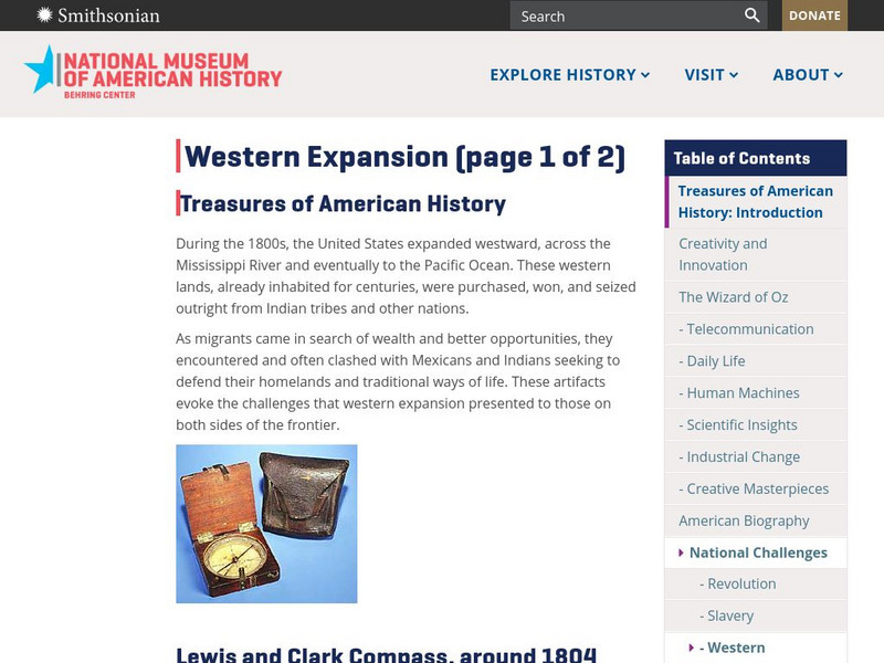
National Museum of American History: Treasures of Am. History: Western Expansion
Shown are images and descriptions of artifacts that express the challenges that the migrants, Mexicans, and Indians shared in their quest for westward expansion in the United States during the 1800s.
History Tools
History Tools: Thomas Jefferson's Indian Policy [Pdf]
Primary source material on the message from Thomas Jefferson secretly delivered to Congress on his strategy to acquire Native American land and expand the western frontier. Paragraph numbers have been added.
Other
Kids Art's Art History Albert Bierstadt
This is an article about Bierstadt's painting of the western frontier. Also includes a copy of his painting "Yosemite Valley".
State Library of North Carolina
N Cpedia: Fur and Skin Trade
The fur and skin trade was a significant industry from the earliest permanent settlement of the region that became North Carolina. Pelts shipped to Europe included beaver, bear, deer, raccoon, mink, muskrat, opossum, wolf, and fox. Many...
Curated OER
Etc: The Frontier of France, 1648 1659
A map of the northern French frontier showing the districts ceded to France under the Peace of Westphalia in 1648 (Alsace) and the Treaty of the Pyrenees in 1659 (western portion of Flanders, Lille, Hainault, and Bar).
Curated OER
Etc: Champlain and Mohawk Frontiers, 1609 1763
A map of the Lake Champlain region and Mohawk frontiers during the period between the battle of Samuel Champlain against the Iroquois in 1609 near Crown Point and Ticonderoga, and the end of the French and Indian War in 1763. The map...
Curated OER
Etc: Maps Etc: Mexico and Western North America, 1845
A map of Mexico in 1845, prior to the ceding of the northern territories to the United States in 1846. The map shows the territories of Oregon, Texas, and Central America under Mexican control, and the frontiers of the Missouri and...
Curated OER
Wikipedia: National Historic Landmarks in Maine: Fort Western
Built in 1754 in what was then a frontier area, this is the oldest wooden fort in the nation.
Independence Hall Association
U.s. History: Western Folkways
A very brief review of what were the important ways people in the West made a living in the last half of the 19th century.
Library of Congress
Loc: America's Story: Arizona Became a New Territory
This 2-page article provides information about how Arizona became a new territory on February 24, 1863, and the corresponding silver and gold rush that encompassed the area.
Smithsonian Institution
National Postal Museum: The Story of the Pony Express
This article explores the story of the Pony Express, the "speedy" mail service that once connected the Eastern U.S. with the West.
Curated OER
National Park Service: Nicodemus National Historic Site
This site from the National Park Service provides the history of Nidodemus, Kansas, first western town planned by and for African-Americans. Settled by exodusters, the town served as a symbol as a land of opportunity for blacks escaping...
Curated OER
Educational Technology Clearinghouse: Clip Art Etc: General W. S. Hancock
(1824-1886) American soldier that served in the Mexican War, Seminole War and ion the Western Frontier.
Curated OER
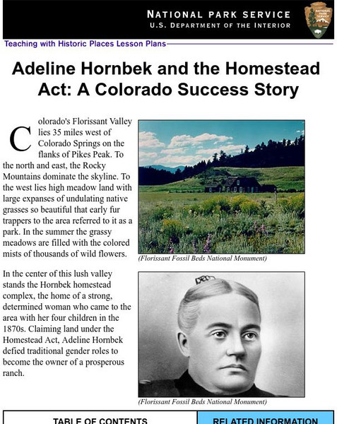
National Park Service: Adeline Hornbeck and the Homestead Act
This Teaching with Historic Places lesson effectively depicts the life of a pioneer woman and ways in which the Homestead Act impacted her life. The site includes lesson plans, inquiry questions, and photos that may be used in covering...


