Curated OER
Linkages Between Surface Temperature And Tropospheric Ozone
Students collect and interpret data to make predictions about the levels of ozone in the atmosphere. Using the internet to collect data students use their collected data to create a line graph for analysis. Students make mathematical...
Curated OER
The Civil War in Henry County
Students consider how the Civil War impacted their community. In this Civil War lesson, students use primary and secondary sources to research the Civil War in Henry County, Georgia. Students use their findings to create multimedia...
Curated OER
Warlugulong
Students explore and appreciate variety of ways in which environment can be depicted for range of purposes. They compare different representations of place and environment, and analyze ways information is being communicated.
Curated OER
Natural Hazards
High schoolers evaluate the hazards of naturally occurring events. After watching a video concerning safety hazards, students work in groups to discuss the safety issues involved in taking a trip to a mountainous region. ...
Curated OER
On the Road Again": Moving People, Products, and Ideas
In this lesson students learn how to identify modes of transportation and communication for moving people, products, and ideas from place to place. Students also study the advantages and disadvantages of different modes of...
Curated OER
Crossing China By Sampan
Sixth graders determine the geographic features that facilitate and prevent communication and commerce between parts of China. They recognize a sampan, the traditional flat-bottomed boat used in Southeast Asia.
Curated OER
Coon Rapids
Students study the development and future of Coon Rapids, Minnesota. They navigate through learning activities about the development and
predict future growth of Coon Rapids.
Curated OER
Creating and Analyzing Graphs of Tropospheric Ozone
Students create and analyze graphs using archived atmospheric data to compare the ozone levels of selected regions around the world.
Curated OER
Using My Nasa Data To Determine Volcanic Activity
Students use NASA satellite data of optical depth as a tool to determine volcanic activity on Reunion Island during 2000-2001. They access the data and utilize Excel to create a graph that has optical depth as a function of time for the...
Curated OER
Linkages Between Surface Temperature And Tropospheric Ozone
Students organize and analyze data regarding changes in tropospheric ozone and then hypothesize about the consequences of these changes.
Curated OER
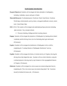
Earthquake Introduction
Students investigate basic principles and properties of earthquakes, including vocabulary, causes, and types of faults. They examine history of seismic activity in their home state, and complete "Locating Patterns of Distribution" lab.
Other
Geoscience Australia: Map Reading Guide: How to Use Topographic Maps [Pdf]
A topographic map can be challenging to read. This guide explains how to decipher one and how to use a magnetic compass to orient yourself to the landscape. It also explains how to use GPS coordinates.
US Geological Survey
U.s. Geological Survey: The National Map: 125 Years of Topographic Mapping
Website offers a history of the National Program for Topographic Mapping (1884-2009).
Other
Ontario Topographic Map
Features a topographical map of Ontario. Click on different options to edit the map.
US Geological Survey
U.s. Geological Survey: 27 Ideas for Teaching With Topographic Maps
A collection of twenty-seven activities that can be done with topographic maps, for elementary up to university level students. Includes many accompanying resources.
US Geological Survey
United States Geological Survey: Topographic Maps
"Note: The information on this page is being retained for technical and historical reference only. The site is not under active maintenance and may include expired information and outdated links." This site gives an overview of the...
Other
California State University: Topographic Map Symbols
Click on any of the geographical terms on this website to see examples that illustrate the symbols commonly used on maps. Includes boundaries, building symbols, caves, mines, elevation symbols, coastal features, and more.
Other
Usgs: The National Map: Us Topographical Map
Use this map to explore the topography of the United States.
NASA
Nasa: Space Place: Make a Topographic Map
Find out what topographic maps are and how to make them. The instructions are complete with pictures to help you construct a mountain of clay and and a corresponding topographic map.
Texas Instruments
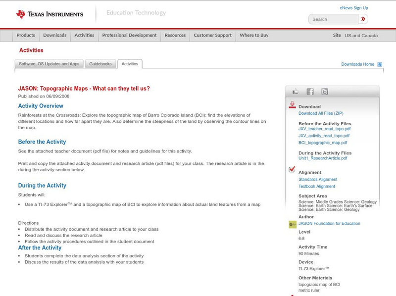
Texas Instruments: Jason: Topographic Maps What Can They Tell Us?
Rainforests at the Crossroads: Explore the topographic map of Barro Colorado Island (BCI); find the elevations of different locations and how far apart they are. Also determine the steepness of the land by observing the contour lines on...
Texas Instruments
Texas Instruments: Jason: Make a Topographic Map
Rainforests at the Crossroads: Make a topographic map of a simulated terrain, which consists of your classroom floor and two boxes of different sizes.
US Geological Survey
Usgs: Finding Your Way With Map and Compass
This resource has a topographic map that tells you where things are and how to get to them. Use this site to help you use a map and compass to determine your location.
University of Texas at Austin
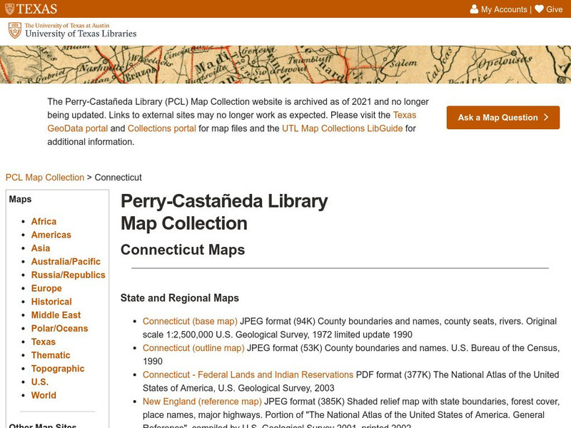
Ut Library: Perry Castaneda Maps of Connecticut
Includes two maps of the state as well as several topographic maps of cities in Connecticut and one historic map of New Haven in 1920.
PBS
Pbs: M, M, M (Maps, Maps, Maps)
This is an online activity on Topographic maps with stated objectives, an activity, background information, evaluation, and resources. This site has information on where you can adjust the activity for elementary or secondary age levels.
Other popular searches
- Reading Topographic Maps
- Science Topographic Maps
- Making Topographic Maps
- Geography, Topographic Maps
- Topographic Maps Labs
- Topographic Maps Computer
- Topographic Maps Isolines
- Topographic Maps Salines
- Topographic Maps + Salines
- Topographic Maps + Isolines
- Geography Topographic Maps
- Topographic Maps Profiles




![Geoscience Australia: Map Reading Guide: How to Use Topographic Maps [Pdf] Handout Geoscience Australia: Map Reading Guide: How to Use Topographic Maps [Pdf] Handout](https://d15y2dacu3jp90.cloudfront.net/images/attachment_defaults/resource/large/FPO-knovation.png)


