Math Science Nucleus
Math Science Nucleus: Maps as Tools
A series of lessons in which students learn about landforms. Includes interpreting landforms, creating landforms, and information on Angel Island.
Math Graphs
Houghton Mifflin: Math Graphs: Direction and Vectors 2 [Pdf]
Students use a topographic map to sketch the paths of steepest descent. The resource consists of an enlarged printable version of a topographic map available in PDF format.
Math Graphs
Houghton Mifflin: Math Graphs: Orthogonal Trajectories 3 [Pdf]
The handout investigates orthogonal trajectories on a topographic map carried by a group of hikers. The map is available in PDF format.
Ducksters
Ducksters: Earth Science for Kids: Topography
Kids learn about the Earth science subject of topography including features such as landforms, elevation, latitude, longitude, and topographical maps.
Curated OER
Educational Technology Clearinghouse: Maps Etc: Cumberland Plateau, 1911
A topographic map from 1911 of the Cumberland Plateau showing elevations given in feet and indicating river systems and valleys in the region. On the right is the summit of the plateau; on the left is the surface of the Highland River;...
Purdue University
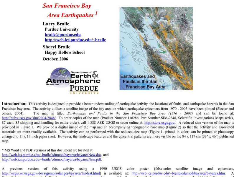
Purdue University: San Francisco Bay Area Earthquakes
Students use geologic fault maps of the San Francisco Bay Area to find relationships between tectonic plate fault lines and landscape features, topographic features, and epicenters of past earthquakes.
US Environmental Protection Agency
Epa: Enviro Mapper Store Front
Lets kids create their own maps, down to the square mile, anywhere in America, choosing various features from water discharges to hazardous waste to roads.
US Geological Survey
Usgs: Monterey Submarine Canyon, California Moored Array Data Report [Pdf]
This advanced site discusses some of the research done and research techniques used in studies of the Monterey Canyon. Great graphics showing the position of the canyon relative to other features of the continental margin. Also...
Concord Consortium
Concord Consortium: Exploring Earth's Seismicity
This sequence is an introduction to plate tectonics using evidence from topographical maps, earthquake location and depth, and volcano location using the Seismic Explorer model to investigate patterns of earthquake data and to infer the...
NASA
Nasa: Shuttle Radar Topography Mission
The Shuttle Radar Topography Mission, a project to collect the most accurate topographic database for the Earth, is documented at this site.
Curated OER
Educational Technology Clearinghouse: Maps Etc: Southern Rockies, 1911
A map from 1911 of the southern Rockies showing the main topographic features of the region, including; the eastern foothills (hogback topography); the Colorado or Front Range and Wet Mountains; the Park, Sawatch (or Saguache), and...
Curated OER
Educational Technology Clearinghouse: Maps Etc: Roc Drumlins, 1911
A map from 1911 from the Baldwinsville quadrangle showing the topographic feature of roc drumlins or drumloids. The drumlin-shaped forms in the upper part are developed on shale. Roc drumlins are distinct from the more common type of...
Curated OER
Educational Technology Clearinghouse: Maps Etc: South China, 1971
"South China comprises the drainage basins of the middle and lower Yangtze River, the basin of the His Chiang (West River) in Kwangtung and Kwangsi; and the mountainous coastal provinces of Fukien and Chekiang. The division between the...
PBS
Pbs Learning Media: Visualizing Topography
Explore the topography of a hill, a valley, and a cliff in this interactive activity featuring visualizations of three-dimensional topography in two dimensions. Adapted from Stephen Reynolds' "Visualizing Topography."
Geographyiq
Geography Iq
Detailed geographical information on any country is available at this site. Within the World Map section, you can get facts and figures about each country's geography, demographics, government, political system, flags, historical and...
American Geosciences Institute
American Geosciences Institute: Rocks and Landforms
Eight hands-on lessons module where students learn about rocks and landforms. These inquiry-based investigations explore the different types of rocks, how they are formed, the different types of landforms, and the effects of glaciers on...
NASA
Nasa Space Science Data Archive: Photo Gallery: Venus
Photos of Venus' surface and cloud tops. Includes 3-D surface views. Thumbnail images load quickly and link to larger files for more detail.
Alabama Learning Exchange
Alex: An Exploration Into Finding Slopes of Inclines
Students will work in small groups to analyze a topographical map of the Fiery Gizzard hiking trail on the Cumberland Plateau in southeastern Tennessee. They will use the map key to determine distance traveled and elevation gained to...
Other
Montenegrin Association of America: Geography
A look at the geography of Montenegro from the Montenegrin Association of America. Includes a topographical map and pictures of the areas covered.
Alabama Learning Exchange
Alex: Land Surveying Project
This project resulted from of the collaboration of a computer aided drafting teacher, Chris Bond, and a math teacher, Lee Cable, (Hewitt-Trussville High School) to provide higher math expectations in CT and real life application in...
PBS
Pbs Teachers: Water Use: Tragedy in the Owens River Valley
Map the geographical area of a watershed, evaluate watershed use and describe land use practices of the people within one. Investigate the events surrounding the war over the Owens River in California at the turn of the 20th century.
TeachEngineering
Teach Engineering: Topos, Compasses, and Triangles, Oh My!
In this activity, students will learn how to actually triangulate using a compass, topographical (topo) map and view of outside landmarks. It is best if a field trip to another location away from school is selected. The location should...
Science Education Resource Center at Carleton College
Serc: Choosing the Best Contours
Using GeoMapApp's interactive elevation base map, experiment to find the best contours for sensibly displaying topography in different landscape regions. Young scholars use contours in different landscape regions to find contour...
American Geosciences Institute
American Geosciences Institute: Earth Science Week: Map Making Basics
This activity will help middle schoolers discover some features as they create a geologic map.
Other popular searches
- Contours Topographical Maps
- Reading Topographical Maps
- Topographical Map of Mexico
- Topographical Maps Distance
- Science Topographical Maps
- Topographical Map Reading
- Topographical Map of Greece
- Reading a Topographical Map
- Topographical Map of Nevada
- Utah Topographical Maps
- Topographical Map of States
- Topographical Map Using Food


![Houghton Mifflin: Math Graphs: Direction and Vectors 2 [Pdf] Unknown Type Houghton Mifflin: Math Graphs: Direction and Vectors 2 [Pdf] Unknown Type](https://d15y2dacu3jp90.cloudfront.net/images/attachment_defaults/resource/large/FPO-knovation.png)


