Curated OER
Etc: Mountain Passes & Overland Routes in the West, 1841 1850
A map of the Pacific region of the United States west of the Rocky Mountains in 1841-1850. The map shows the Old Spanish Trail from Los Angeles to Santa Fe, the Pioneer Route from the Platte River to San Francisco, the routes of Fremont...
Curated OER
Etc: American Rev War Operations in the West, 1775 1782
A map of the Northwest Territory between the Allegheny Mountains and the Mississippi River and the Great Lakes to the Tennessee River showing the military operations and extent of settlement in the area during the American Revolutionary...
Other
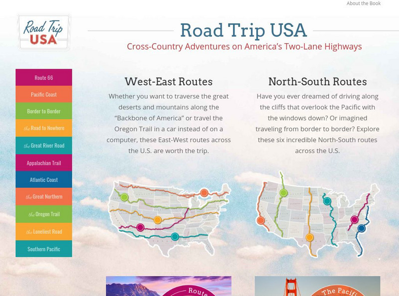
Road Trip Usa: Cross Country Adventures on America's Two Lane Highways
Learn all about America without ever leaving home. Select a driving tour, then find colorful information about what all the small towns have to offer. Many fun facts about famous historical destinations are given. Based on Jamie Jensen's...
PBS
Pbs: Lewis and Clark: Into the Unknown
On April 7, 1805, the Corps of Discovery left Fort Mandan and headed west. On their maps, the land that Lewis and Clark was headed for was indicated by a vast, blank space and the word, "Unknown". This is where this journey INTO THE...
Scholastic
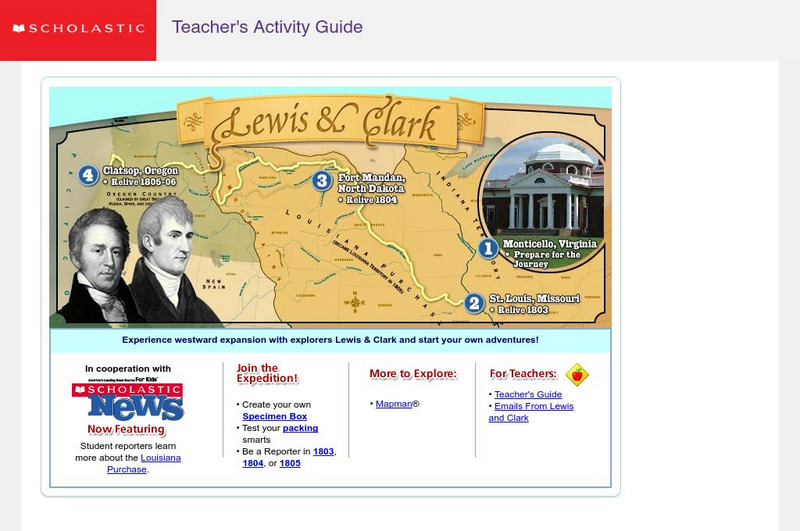
Scholastic: Lewis and Clark
An interactive site that has students follow the Lewis and Clark's expedition. As they travel west, they are able to collect objects on their journey and put them in their specimen box. They also take notes on their specimens so they can...
Curated OER
Scholastic: Lewis and Clark
An interactive site that has students follow the Lewis and Clark's expedition. As they travel west, they are able to collect objects on their journey and put them in their specimen box. They also take notes on their specimens so they can...


