Science Struck
Science Struck: Transform Boundary: Definition and Useful Examples
Explains what a transform boundary is and gives examples of well-known faults of this type.
Science Struck
Science Struck: How Mountains Are Formed
Read about the different types of mountains and how they are formed.
University of Oregon
The Electronic Universe Project: Plate Boundaries/plate Tectonics
Visit this site to learn more about the different types of plate boundaries. Includes color pictures and easy-to-understand examples of how and why plates move the way they do.
US Geological Survey
Usgs: Geologic Maps
This site has a good description of what this particular type of map represents. It also explains the colors and letter symbols, faults, and strike and dips.
TeachEngineering
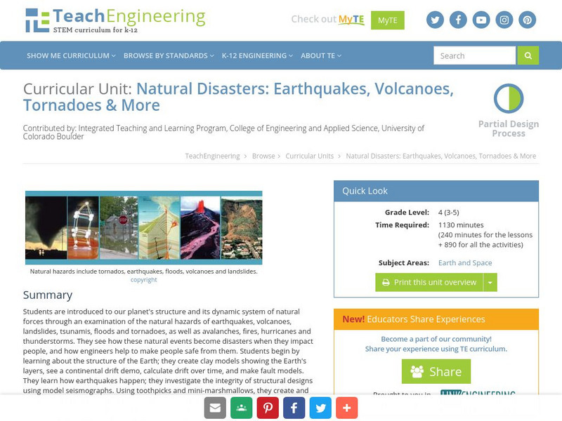
Teach Engineering: Natural Disasters
Students are introduced to our planet's structure and its dynamic system of natural forces through an examination of the natural hazards of earthquakes, volcanoes, landslides, tsunamis, floods and tornados, as well as avalanches, fires,...
Cornell University
Cornell University: Law School: Legal Information on Divorce
This page provides an easy-to-understand explanation of the legal types of divorce; also provides links to state statutes & recent federal decisions.
Science Education Resource Center at Carleton College
Serc: An Investigation Into Geologic Mapping: Quarry Park
In this geology field lab, students will map an area around Quarry 12 and Quarry 13 in Quarry Park. Using a field notebook, students will take field observations to later produce a basic geologic map, topographic map, and a...
PBS
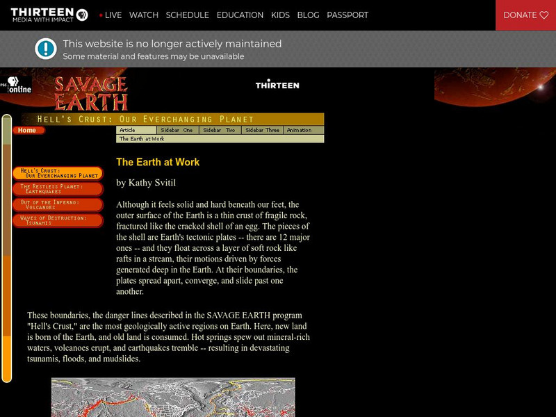
Wnet: Thirteen: The Earth at Work
This site from PBS provides a description of the mechanisms behind the plate movements, types of movements, and the resulting earthquakes, faults, and images and animations of several of the topics presented.
Other
West Virginia Geological and Economic Survey: Mountains
Site for general information about mountains. There is a downloadable PDF of this article with pictures.
Curated OER
Educational Technology Clearinghouse: Maps Etc: Denver Basin, 1911
A geologic map of a section of the Colorado Front Range near Denver and Golden showing the structure and topography of the common border between the Great Plains and Southern Rockies. The map is keyed to show rock types, formations, and...


