Curated OER
The Geography of the United States
Full of bright maps and interesting information, this presentation details U.S. Geography. Slides include basic facts about size, regions, topography, and demographics, as well as fascinating trivia about the United States, including...
Curated OER
U.S. Geography for Children: State Capitals
For this United States map skills worksheet, students locate and label specified states and their capitals, and create icons and a map key to show something for each state that is famous. Students answer 5 questions.
Curated OER
Where Did My Lunch Come From? A U.S. Regional Tour
Students explore the regions from which their food comes. In this social studies lesson, students identify the different agricultural products that are found in the major regions of the United States. Students create a lunch menu.
Curated OER
From Sea to Shining Sea
Students study the geography of the United States of America. Students write letters, create travel brochures, make maps, graph population numbers, read fiction and nonfiction selections, complete KWL charts, and watch films.
Curated OER
Southeast Asian Folktales
Fifth graders locate and identify the countries of Southeast Asia on a map. In groups, they compare and contrast photographs and artifacts from their own lives with those living in Asia. They write their own folktales based off of...
NASA
Outline Maps
Don't miss this gold mine of blank maps for your next geography lesson! Regions include traditional continents such as Asia, Europe, and Africa, as well as other major world areas such as the Pacific Rim and the Middle East.
Curated OER
Let's Go To Mexico
Students are able to use the Internet to conduct research. They research Mexican culture and traditions. Students compare and contrast Mexican and U.S. food and clothing. They convert United States currency to Mexican pesos. Students...
Curated OER
Backseat Travelers
Fourth graders investigate the geography of the Southeast regions of the United States. They conduct Internet research, listen to the book "No Star Nights," and plan and write a trip through this regions.
Curated OER
Where in the World Is Mexico?
Students practice map-reading skills as they locate Mexico and its cities on a world map. By creating a puzzle out of a map of Mexico, students engage in a meaningful hands-on activity to help them explore that country's geography.
Curated OER
Human Rights in the Philippines
Students examine the meaning of human rights under the United Nations system, in the U.S., and the Philippines. They conduct research, discuss the concepts in groups, and conduct a debate on the human rights situation post Marcos...
Global Oneness Project
A Collapsing City Skyline
Have your high schoolers learn about the modern history of Myanmar by close-reading an article about the city and people of the city Yangon. As they'll learn, the country is going through some dramatic transitions. After...
Global Oneness Project
Documenting Architectural Heritage
Imagine going from being one of the richest, most important cities in the world to one of the poorest. Imagine the history captured in the architecture of such a city. Imagine these same now abandoned buildings being destroyed. How would...
Curated OER
Global Geography of Economics: the Indiana Steel Industry
Students research and identify positive and negative effects of imported steel on the Indiana steel industry.
Curated OER
Global Geography of Economics: The Indiana Steel Industry
Learners are introduced to how steel is made and investigate the importance of the steel industry. They participate in a role-play that explores the concepts of taxes, tariffs and imports vs. domestic production.
Curated OER
Out On A Limb In The Pacific Rim?
Students act as cultural attachés to investigate and present briefings on the post-1945 histories and United States diplomatic relationships with East Asian countries. They articulate their foreign policy findings.
Global Oneness Project
Architectural Wonders
Angkor Wat, a UNESCO World Heritage Site located in Cambodia, is the focus of a lesson that asks class members to consider factors that could result in the destruction of these archeological treasures. Pupils listen to a...
Curated OER
George Washington Teaches Map Directions
Students follow teacher given directions, either oral or written to plot points on a grid to create a profile of George Washington. They apply cardinal and ordinal directions to find the points on the grid.
Curated OER
How the West Was One: A Layered Book
Students create a layered book about the information they learn about the Western region of the United States. In this Western states lesson plan, students create a book about the land, economy, and culture.
Curated OER
Populations in the Path of Natural Hazards
Students read "Geographical Mobility: 1995-2000." They examine the maps in the handouts and compare them with maps from an atlas. In the second part of this lesson, students read "In Harm's Way." They receive three more handouts, one a...
Curated OER
Where is Rice Grown?
Fifth graders create a timeline of the development of rice as an important crop. In this agricultural history instructional activity, 5th graders read about the history behind why rice was grown and where it is grown. Students...
Read Works
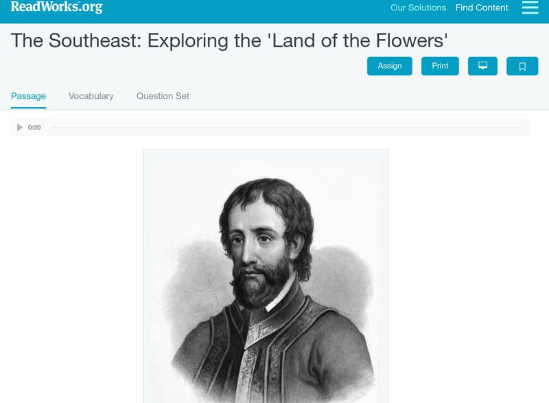
Read Works: The Southeast Exploring the "Land of the Flowers"
[Free Registration/Login Required] An informational text about the Spanish explorers who discovered Florida, the land of flowers. A question sheet is available to help students build skills in reading comprehension.


