Curated OER
Regions: Meet the Experts Presentation
Students gather information and create a web site on prairies and plains using a variety of resources, including the internet.
Curated OER
Loss of Wetlands: Subsidence
Students observe subsidence and the effect it has on wetlands with a classroom demonstration. They think about the impact of global warming and the sea level and how it affects the marsh.
Curated OER
Rain Drops Keep Falin' On My Drainage Basin
Students compile information about rainfall, lake elevations and releases of water from Tuttle Creek reservoir into maps, graphs and charts.
Curated OER
The Politics of Water
Students investigate the Governor's Kansas Water Initiative. Students study rivers, cities and reservoirs and how their location effects the importance of their water quality issues.
Curated OER
"Professional" Settlement of Arkansas
Eighth graders examine the physical geography of Arkansas played and instrumental role in the settlement of the state.
Curated OER
Stratigraphy -- Layers of Time in the Earth
Students are introduced to the process of stratification. Using the internet, they read about the Richard Beene archeological site near San Antonio. Using a map, they color code the different layers present at this site and answer...
Curated OER
NCTA Lesson Plan on China
Students identify China's geography, especially arable land, rainfall, crop growing areas, rivers, and mountains. Students select a technological advance to draw a diagram of the particular advance make transparencies of the diagram,...
Curated OER
Snow vs. Water
Students fill three cups with snow. They record the height of snow in each cup, and allow the snow to melt. Students measure the height of the water in each glass or cup, and record their results on the worksheet. They answer questions...
Curated OER
Patterns of Settlement in Early Alabama
Fourth graders study the settlement of Alabama. They collect data from the U.S. census website and answer questions regarding settlement patterns in the counties of Alabama in 1820. They write a paagraph describing where they would have...
Curated OER
Tracking the Storm
Students discuss the different types of storms that can hit land. They locate specific coordinates on a plane grid. They discuss lonsgitude and latitude to plot the coordinates of a tropical storm. They practice finding coordinates...
Curated OER
Empowering Young People to Repair the World
Students analyze the role of study vs. good deeds in contributing to improving the world. They discuss how study and action are important and consider their obligation to make the world a better place. After discussing the concept of...
Curated OER
Identifying Wetlands
Pupils describe three major categories of indicators that are used to delineate wetlands. In this wetlands lesson students visit a wetland and make observations then complete an activity using the soil.
Curated OER
Identify Nouns and Adjectives
For this noun and adjective worksheet, students circle nouns in 10 sentences, then circle adjectives in an additional 10 sentences. Sentences contain multiple adjectives and nouns.
Other
Institute of Hydraulic Research: Flood Management in South America [Pdf]
A 33-page paper presented at a symposium in 2006. It discusses flood control in South America, breaking the topic down into easily understandable chunks with lots of visuals. Topics covered include the impact of urbanization, two types...
CK-12 Foundation
Ck 12: Earth Science: Flooding Study Guide
Understand many aspects of flooding using this study guide.
Science Education Resource Center at Carleton College
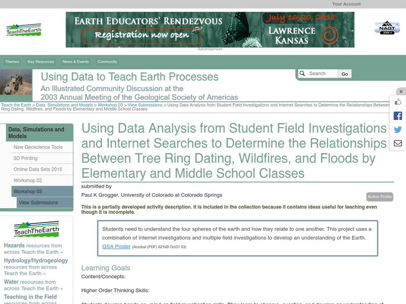
Serc: Relationships Between Tree Ring Dating, Wildfires, and Floods
For this lesson students will understand the four spheres of the earth and how they relate to one another. This project uses a combination of Internet investigations and multiple field investigations to develop an understanding of the...
Choices Program, Brown University
Choices: Teaching With the News: Pakistan's Floods
Lesson with multi-media resources introduces students to the disaster in Pakistan after the devestating floods in 2010 and encourages them to consider the impact of history, climate vulnerability, and current politics as they attempt to...
Discovery Education
Discovery Education: Understanding Tsunamis
Come and learn more about the devastating effects of tsunamis. This site features video segments revealing the devastation tsunamis can cause and how tsunamis are formed.
Other
Macrohistory: Sumerian Polytheism, Sin and a Great Flood
The religious beliefs in Sumer correlated with nature and agriculture. Read some of their religious stories to better understand their society and compare these stories to well-known Bible stories from today. A bibliography and pictures...
University of Wisconsin
The Why Files: Volcanic Activity
A resource to help understand how volcanoes work and how the can affect their surroundings.
TeachEngineering
Teach Engineering: Naturally Disastrous
Students are introduced to natural disasters, and learn the difference between natural hazards and natural disasters. They discover the many types of natural hazards - avalanche, earthquake, flood, forest fire, hurricane, landslide,...
PBS
Pbs Learning Media: Environmental Public Health: Natural Hazards
In this lesson plan, learners are introduced to a variety of natural hazards and explore how understanding these threats make us better able to avoid or reduce their potential harmful impact.
Other
Internet Geography: Rivers
Discover rivers with this informative personal site containing helpful information and an easy-to-understand map illustrating the parts of a river. Learn about the negative effects of a river and some case study examples.
TeachEngineering
Teach Engineering: Dams
Through eight lessons, students are introduced to many facets of dams, including their basic components, the common types (all designed to resist strong forces), their primary benefits (electricity generation, water supply, flood...


![Institute of Hydraulic Research: Flood Management in South America [Pdf] Article Institute of Hydraulic Research: Flood Management in South America [Pdf] Article](https://d15y2dacu3jp90.cloudfront.net/images/attachment_defaults/resource/large/FPO-knovation.png)


